I’ve been logging my rides on a free website called Veloviewer for about three years now, and one of the fun things about it is that I can see how all of my rides overlap with time (i.e. a personal heat map). I can also track approximately how much new ground I cover by collecting tiles that are about a mile on a side. A while ago I mapped out a route specifically to connect the ride that I did along the Elora Cataract Trail with the rides that I have done on the Caledon Rail Trail. The route is shown below, and it follows part of a TBN route that covers the area around the Forks of the Credit.

Today had glorious weather, and so it was an ideal time to try out the route. While I was at it, I decided to take a little detour to cover the easternmost section of the Elora Cataract rail trail that I skipped the last time by starting in Erin and going west from that point.
Here is the official eastern end of the trail off of Cataract Rd. Note that this is not a great starting point as there is no parking. There were quite a few cars parked the next intersection west on Mississauga Rd, where there was space for about two dozen cars on the shoulder.

If you face the other direction (east) you see that the trail actually continues further east, but it is more of a narrow walking trail with no gravel laid down. It is easily bikeable; just be nice to all of the hikers and dog walkers.

The trail ends at Cataract Rd just near the Forks of the Credit Inn. There is not much parking available here either.

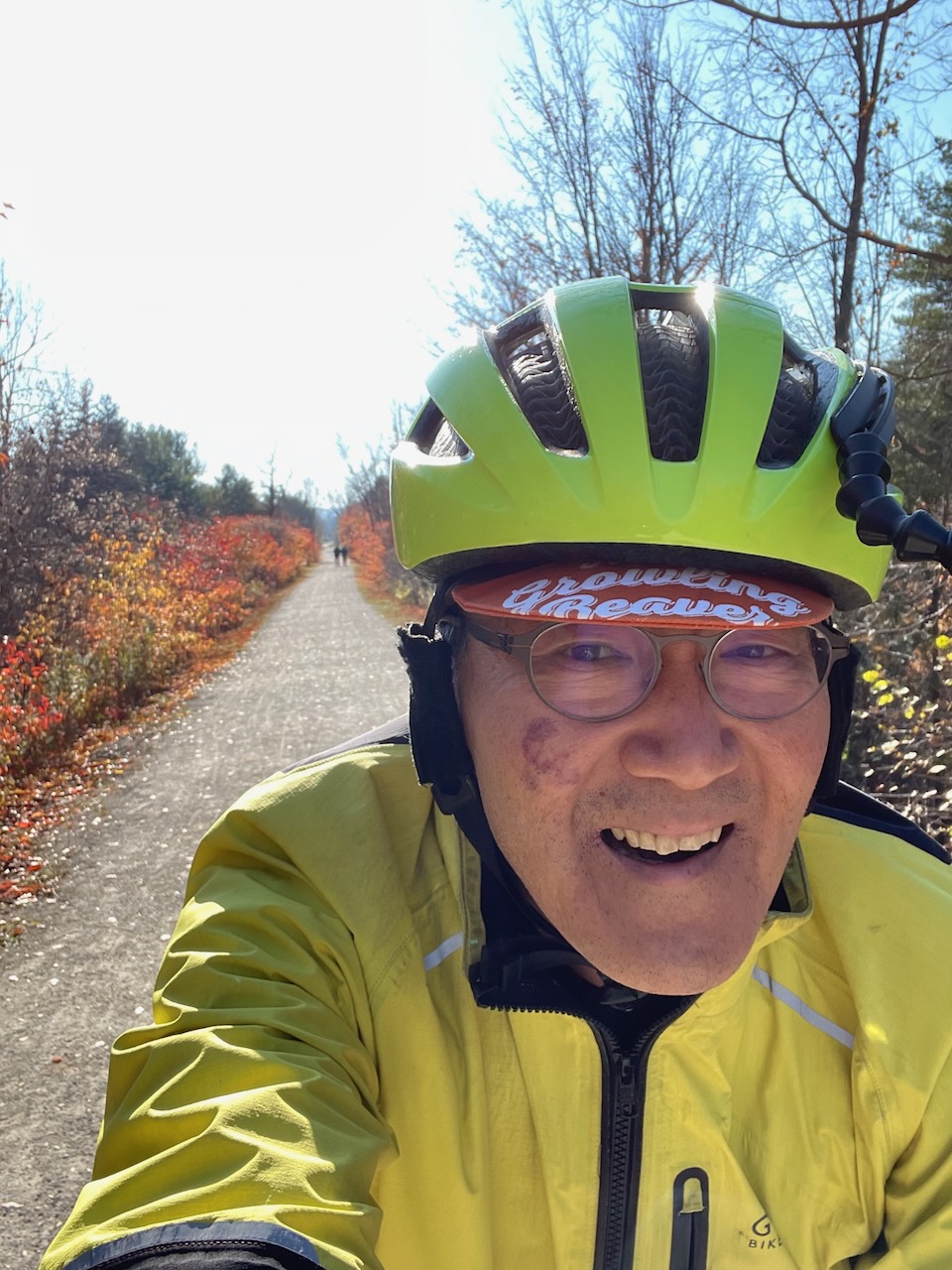
Here I am biking back west on the trail.

It’s that time of year where sections of the trail are covered in leaves, but the trail is in good condition with no nasty surprises like potholes.

The route uses Winston Churchill to descend the escarpment. Here is the intersection with the Caledon rail trail.

Heading back to the starting point in Inglewood.
Here is a map showing the tiles, and today’s ride provides a connection all the way from TO to Elora. I’m going to try to connect Elora to the rides that I’ve done along the G2G trail next.


Wow, you bike all over the place…
The trouble with Cataract Road is it just gets harder and harder to see.