Brompton in Palace is a regular meeting of Brompton owners in the Tokyo area. From what I understand, the name comes from the fact that the meeting place used to be adjacent to the Imperial Palace grounds in central Tokyo. However at some point in time, they were advised that public meetings of any sort are not allowed in that location, and so it moved to Tachikawa Sozosha, a former elementary school turned into a “culture factory” about a 30 minute train ride west of Shinjuku. I had tried to attend last summer but that particular month was rained out, so this was my first time to attend.
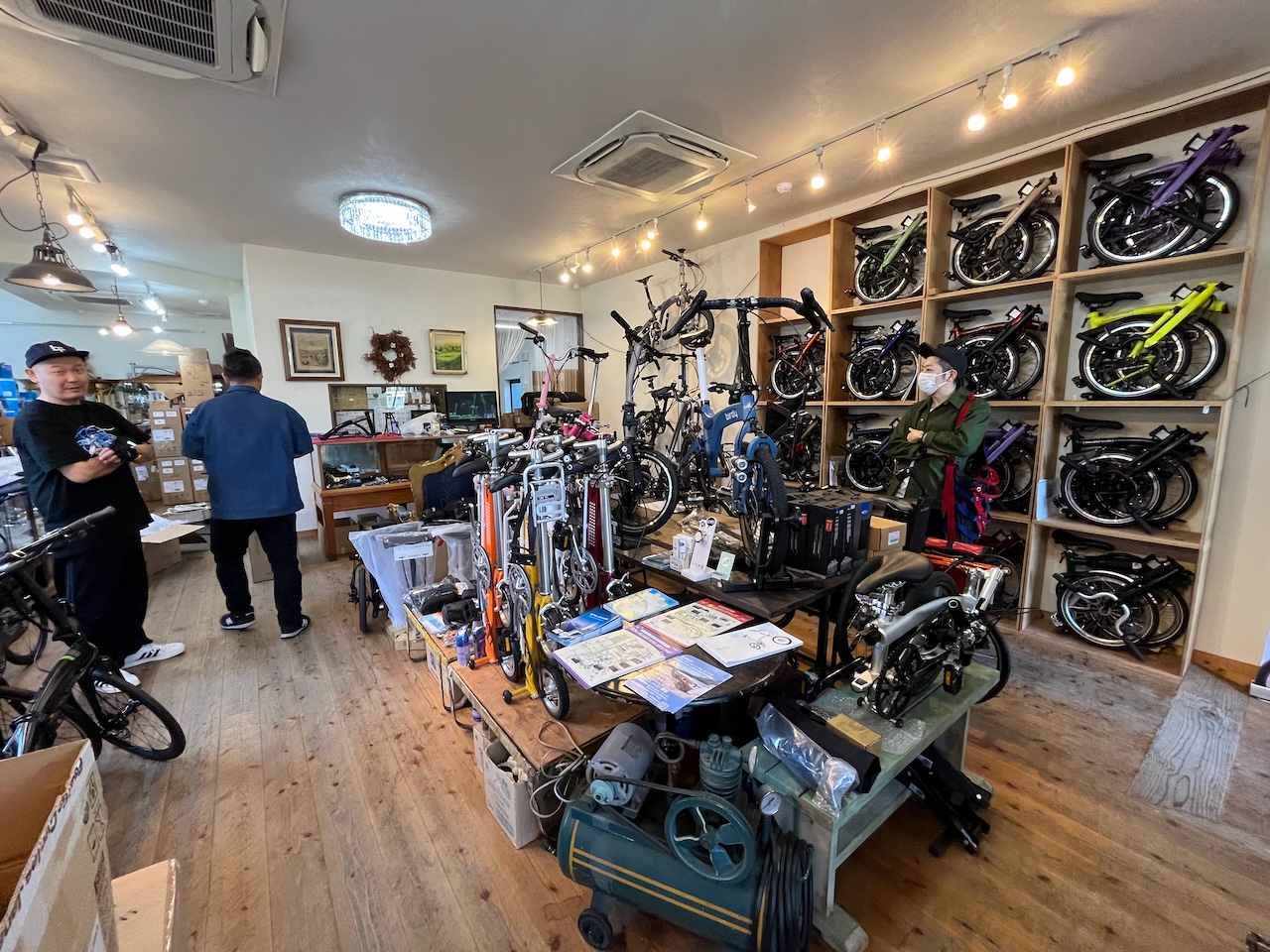
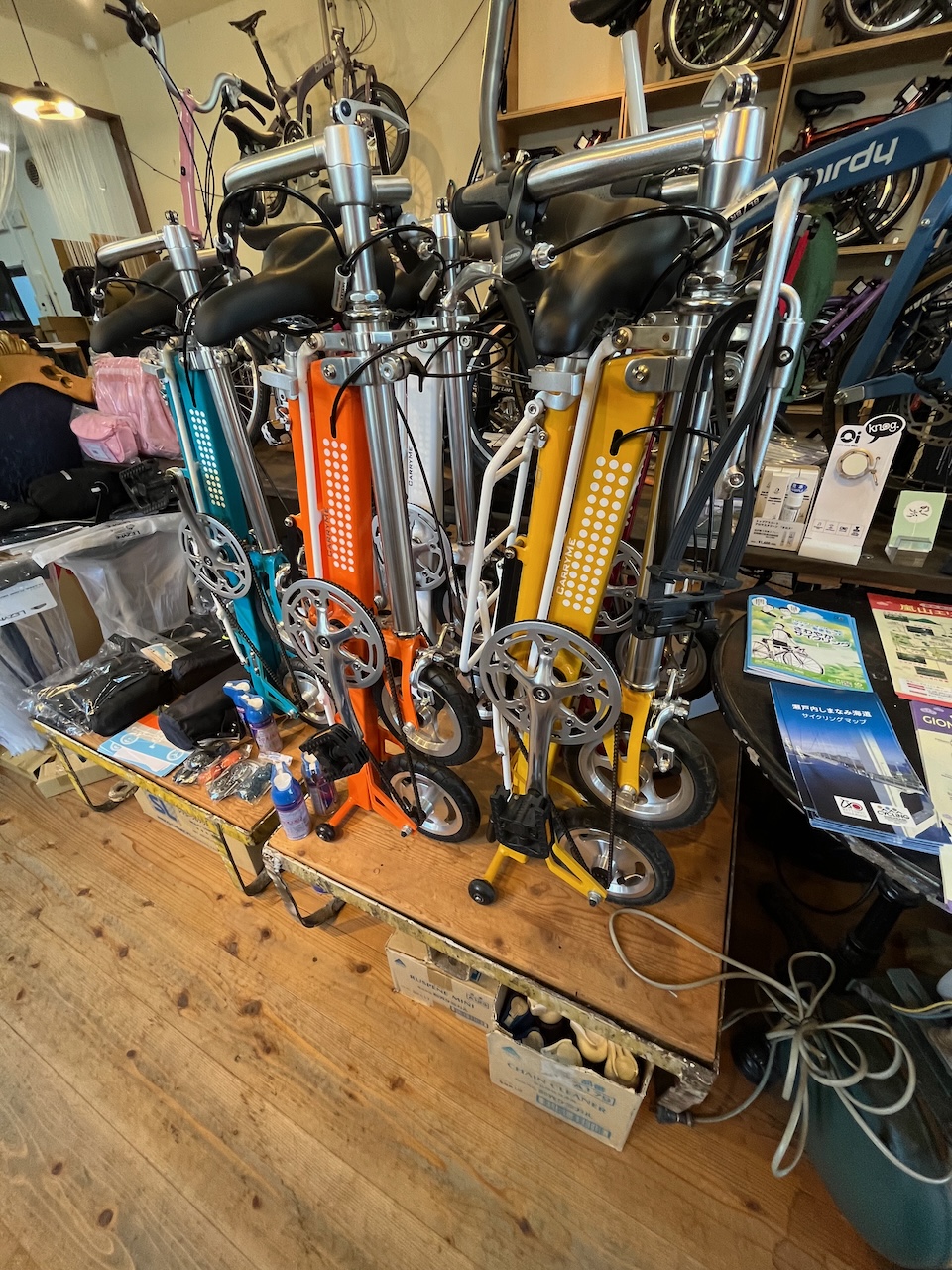
Basically this is a chance from Brompton owners to get together to chat and to admire each others’ machines. Lots of Bromptons of all colours and types.

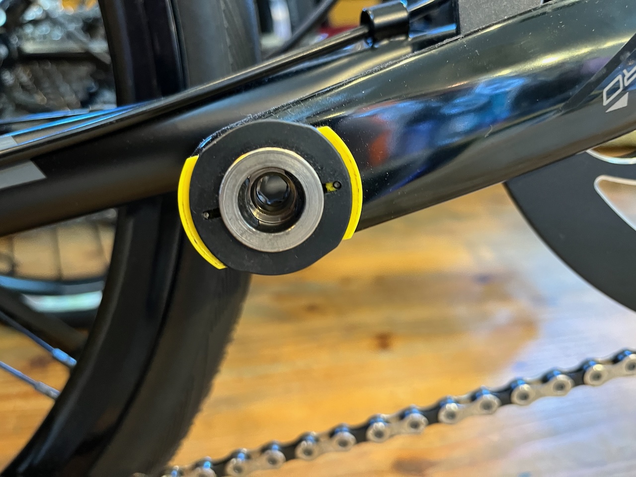
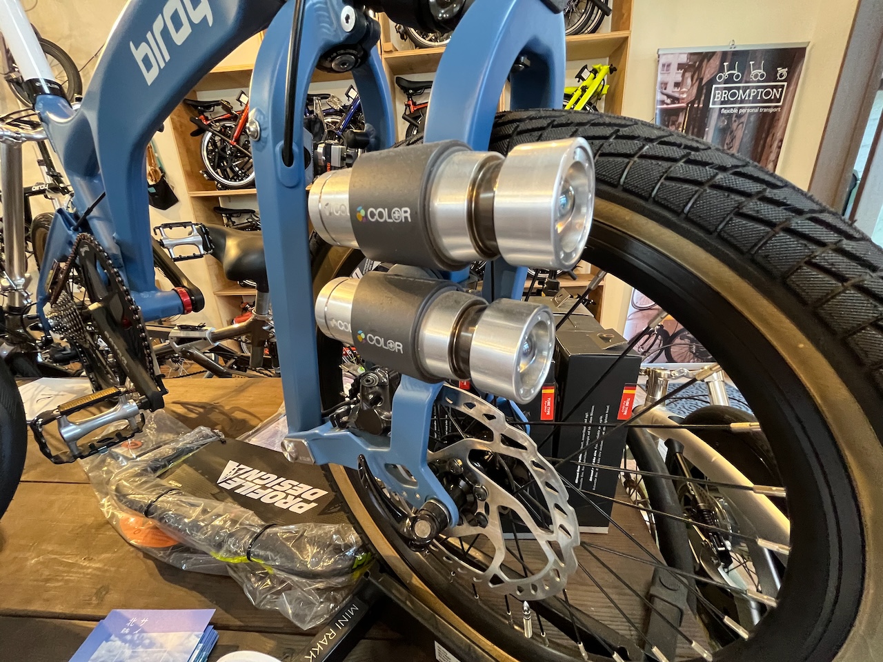
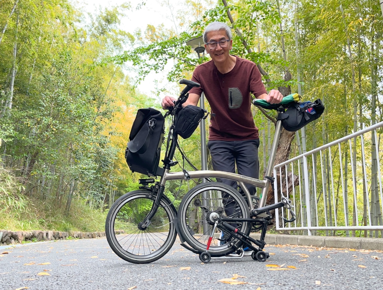
This particular T type attracted a lot of attention.

Check out that drivetrain.

Nice to see that the carbon chainring has metal teeth.

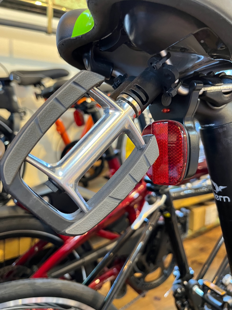
This T type was also nicely kitted out.

Yes that is a titanium kickstand.

Speaking of kickstands, a surprising number of the bikes (perhaps about 15%) had kickstands. This minoura number was the most common.

This one looked like it was by the same company as the Ti one.

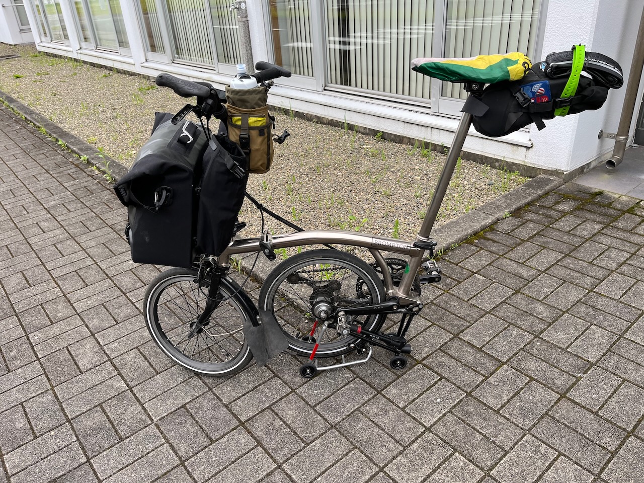
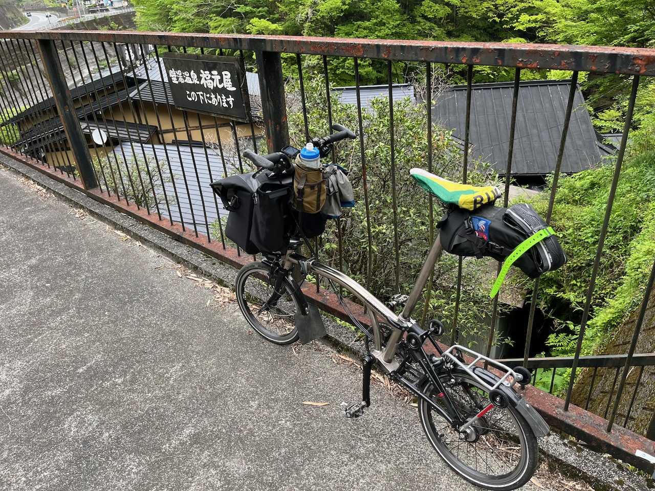
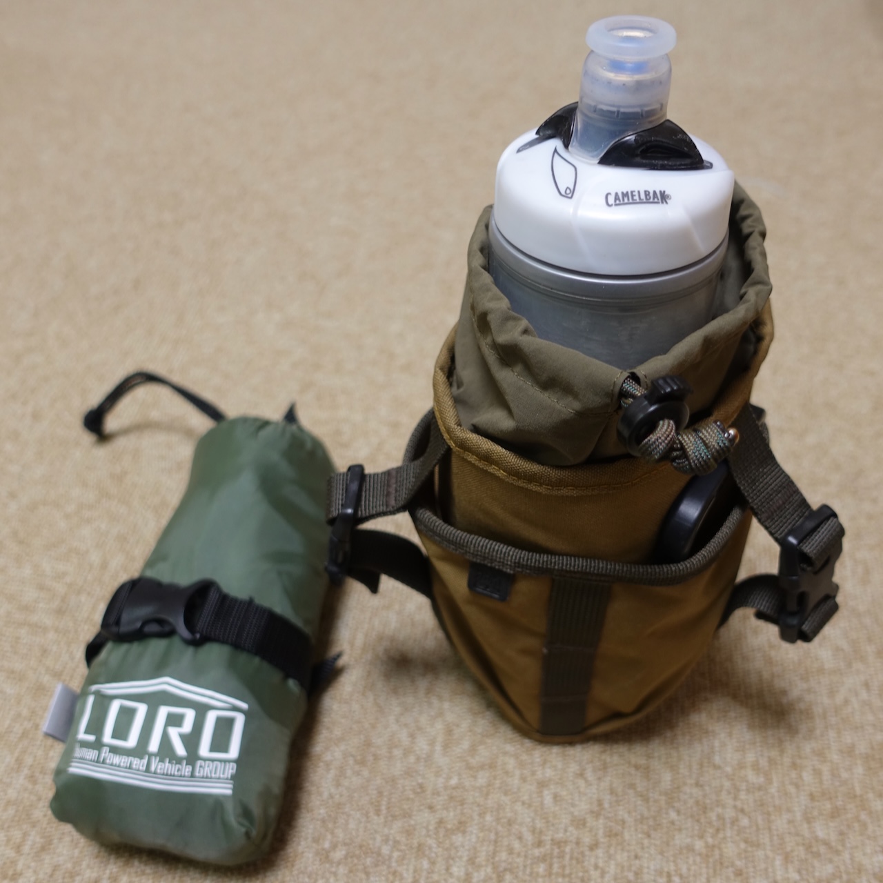
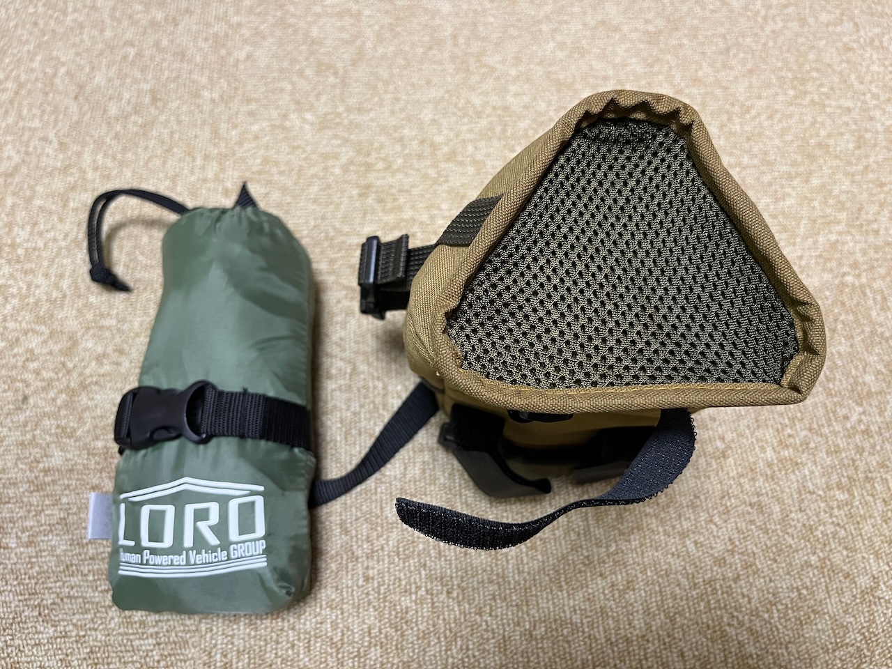
This one was equipped for touring.

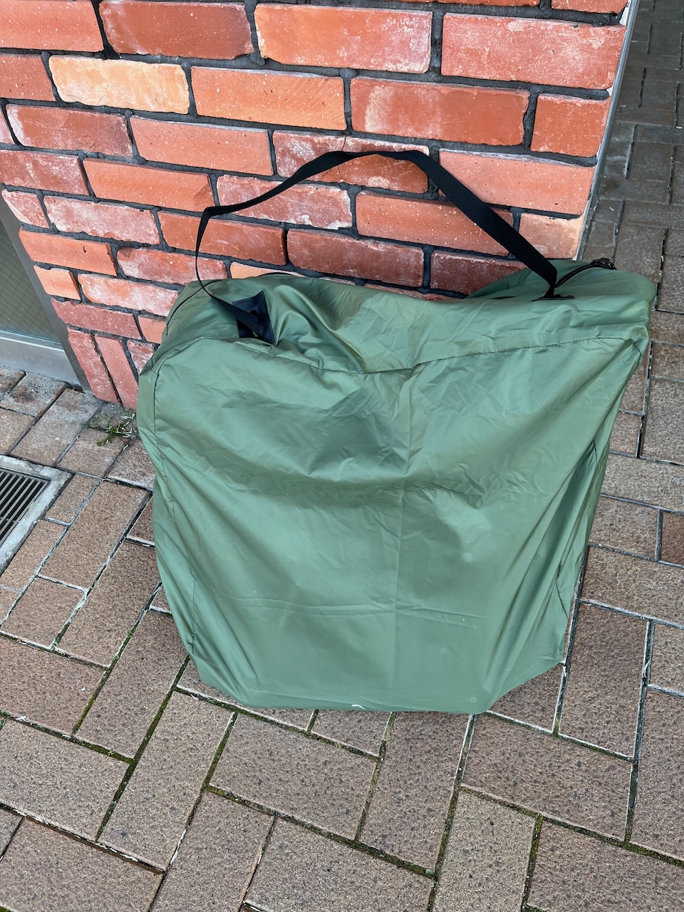
Here is the sakura edition, complete with bag that is not available in Canada.


This one was autographed by Will Butler Adams. Also note the worn sticker from the Brompton World Championship. I noted several bikes had gone to the BWC.

This one has a 7×2 drivetrain. I like the sticker “powered by Hiroshi”.


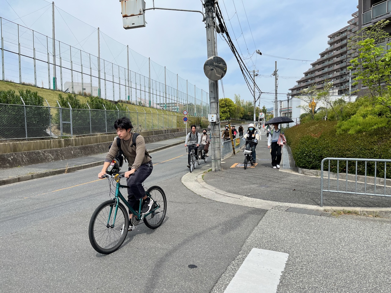
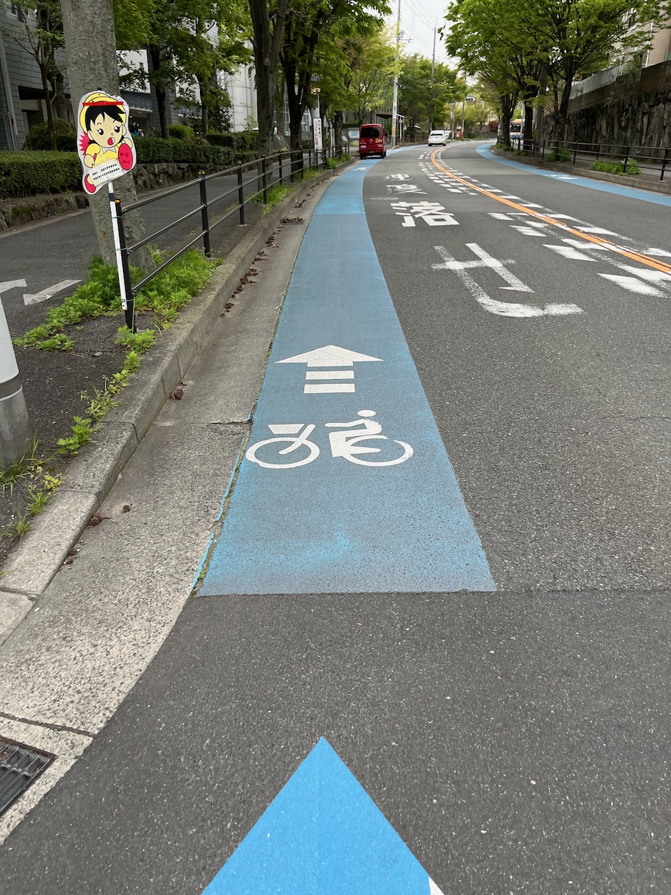
There was a short presentation about changes to the laws for cyclists in Japan, titled “Major violations of the revised Bicycle Road Traffic Act”. From the crowd reaction, there were some surprises in there, but I didn’t follow the discussion. I was told that vehicles getting wider is also an issue here in Japan. However, there are no monster pickups.

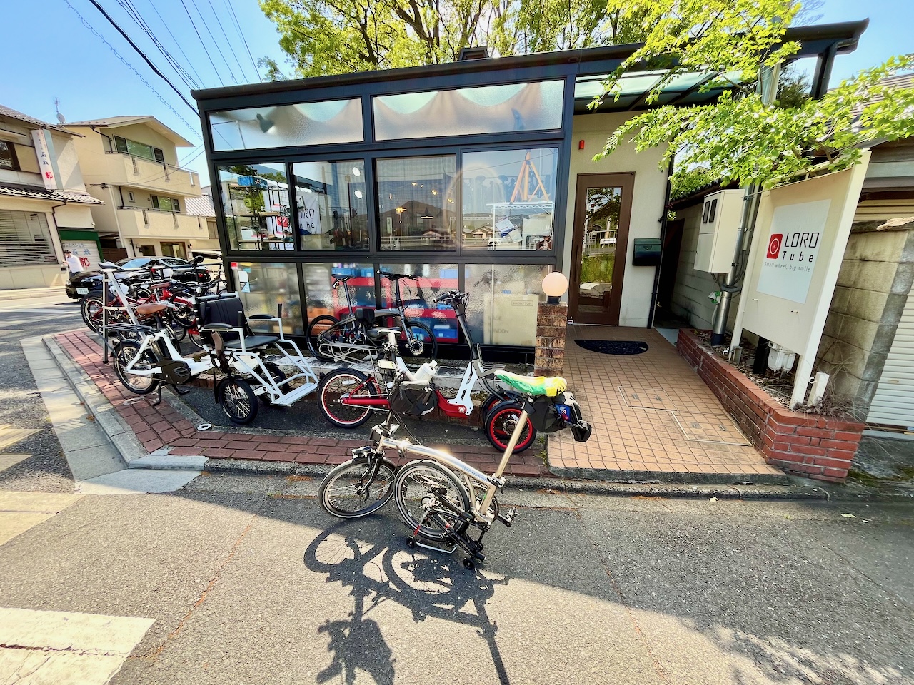
Now we prepare to line up for the group picture. Apparently Loro cycle works requested that the bikes be lined up in a particular order by colour.

Count them: five T lines in one place!

People moving out onto the field.

Assembling the line.


There was one other nickel edition, but I didn’t get to line up with him because he had a nickel plated stem. (mine is black).

Almost done.

The group picture.

One of the organizers doing a video pass.

The official count was 69, with two additional late comers that didn’t make it into the picture.

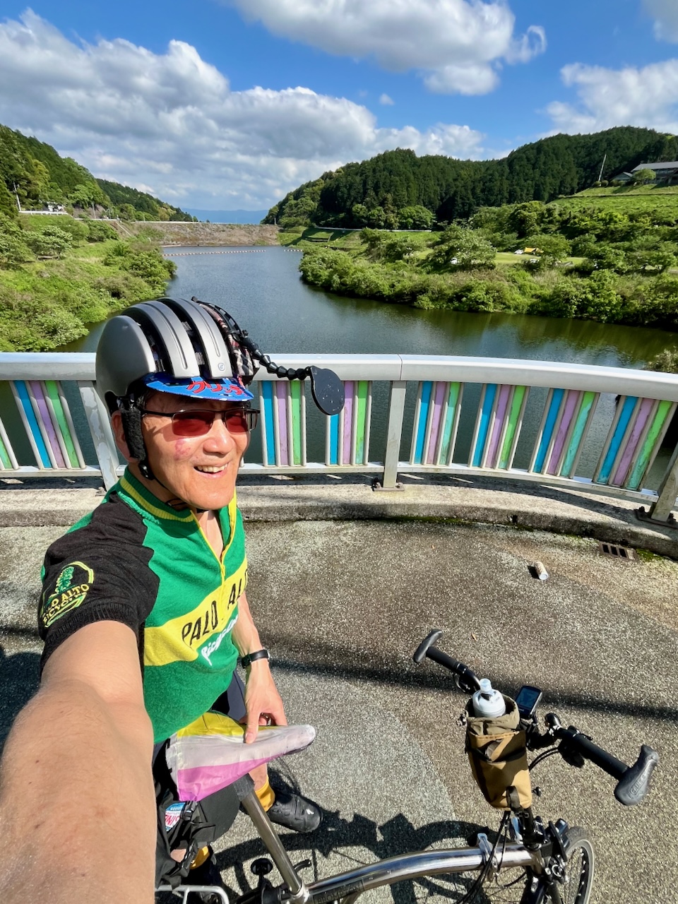
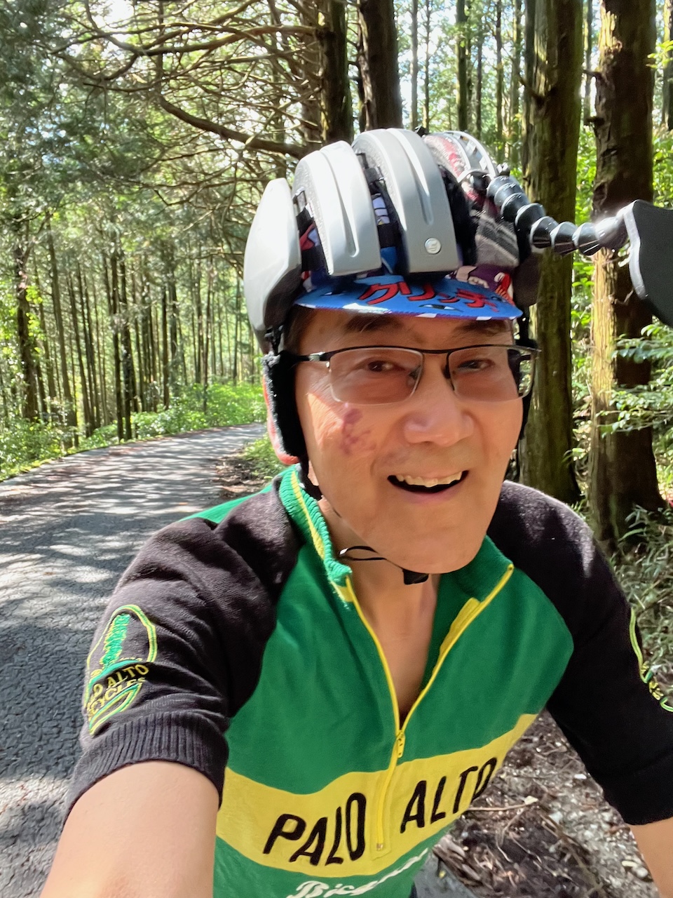
Although it was a bit warm, I wore my Palo Alto Bikes wool jersey.

Now people taking pictures of the line.

Finally the line disperses.

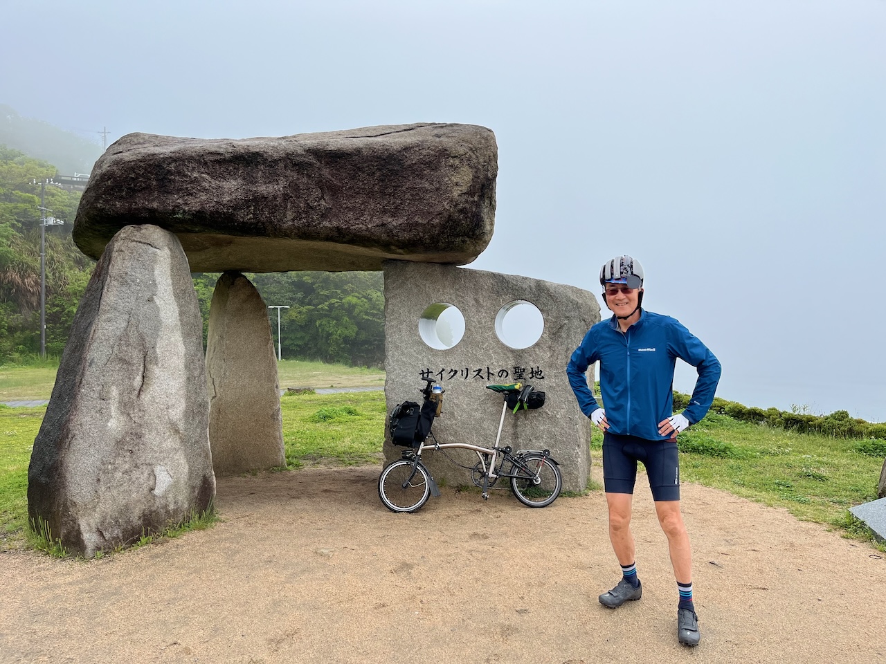
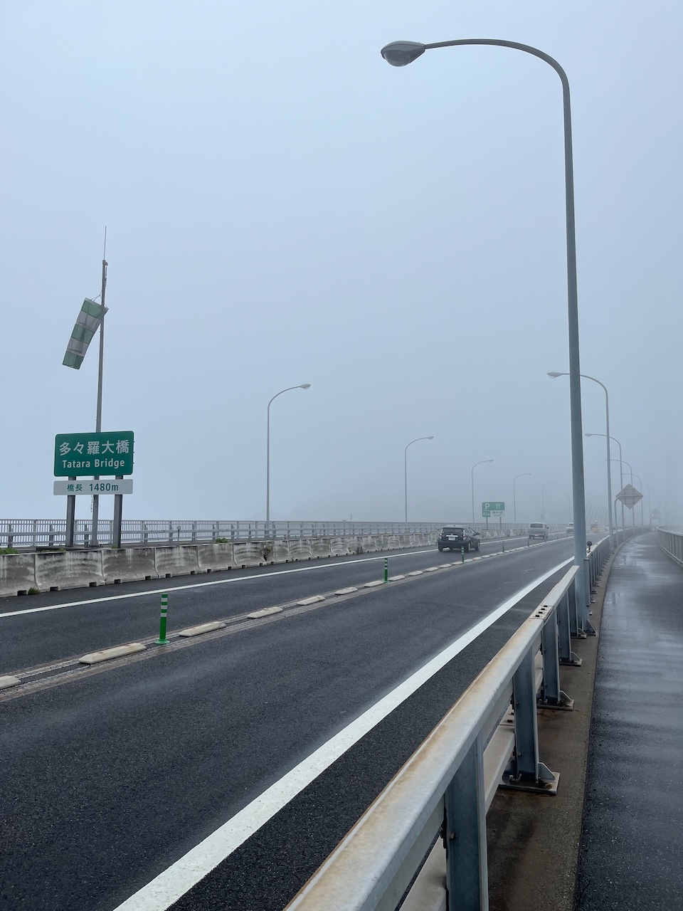
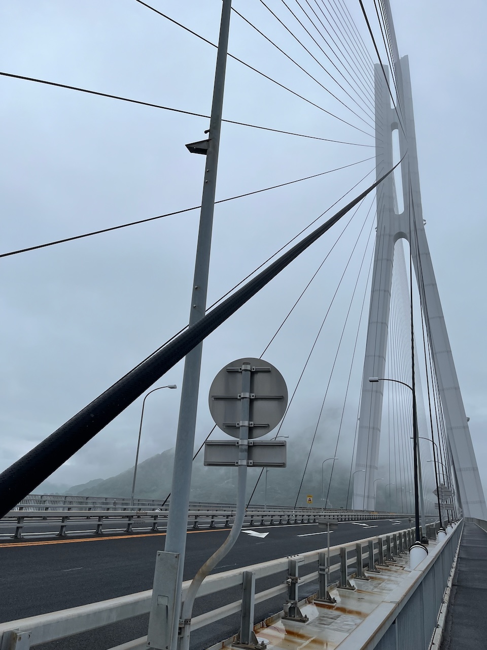
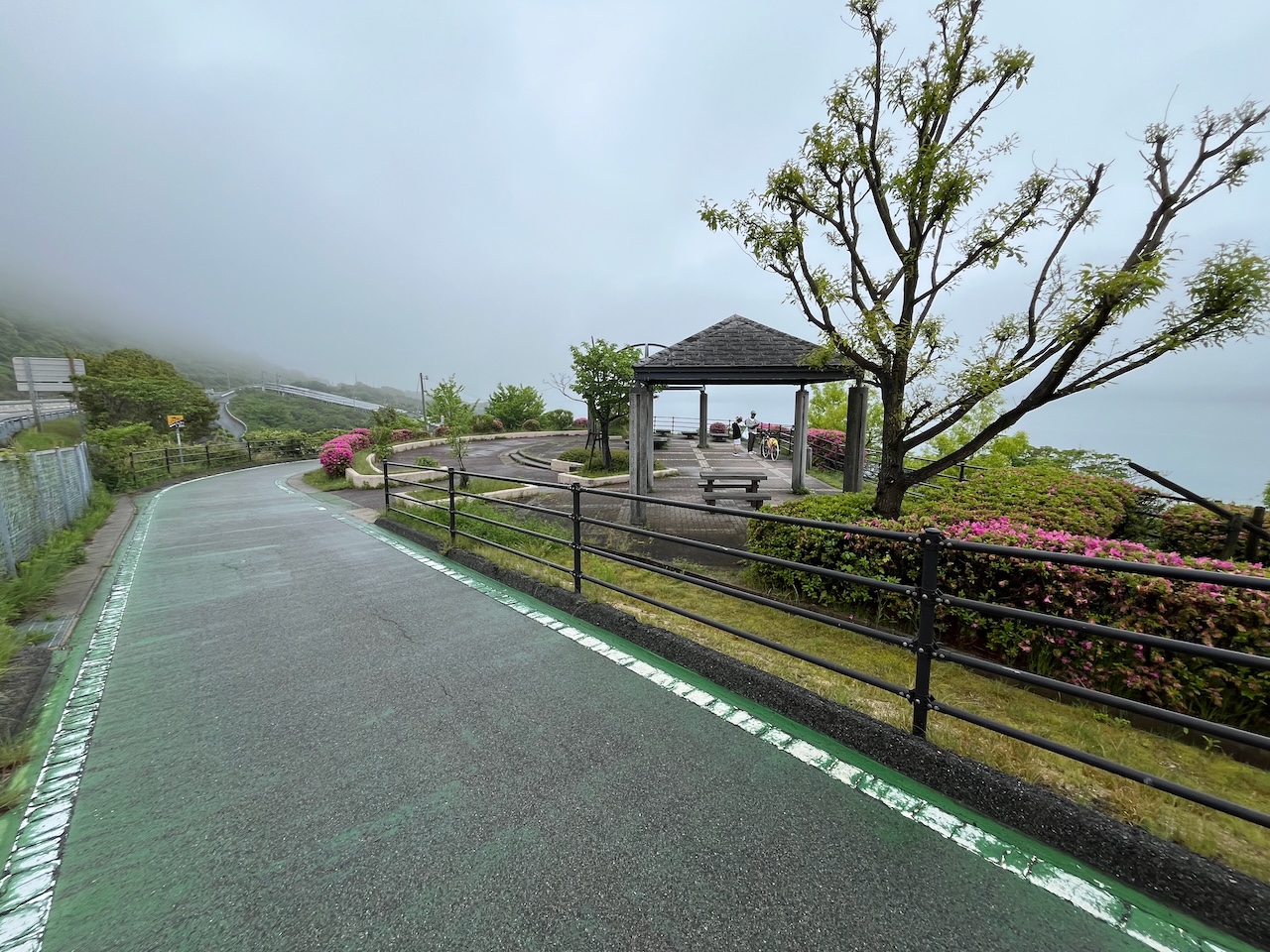
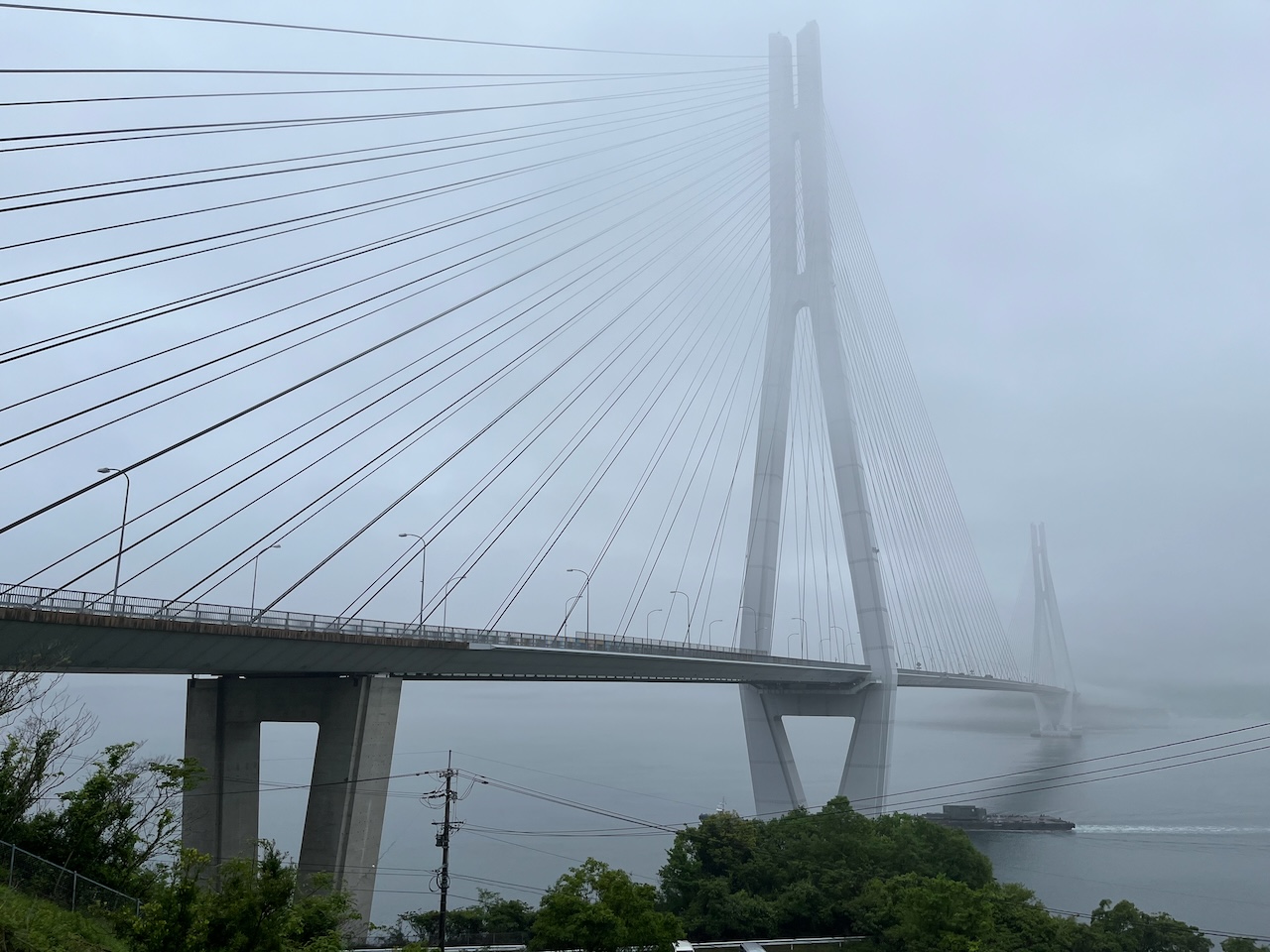
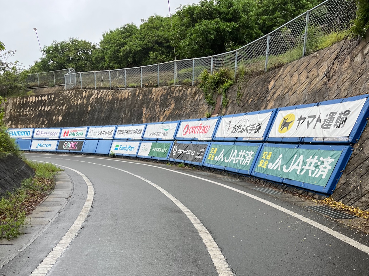
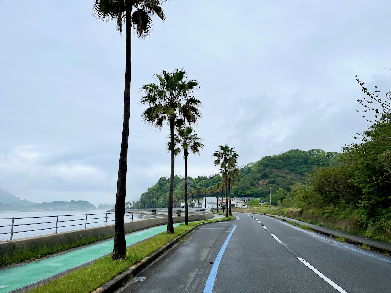
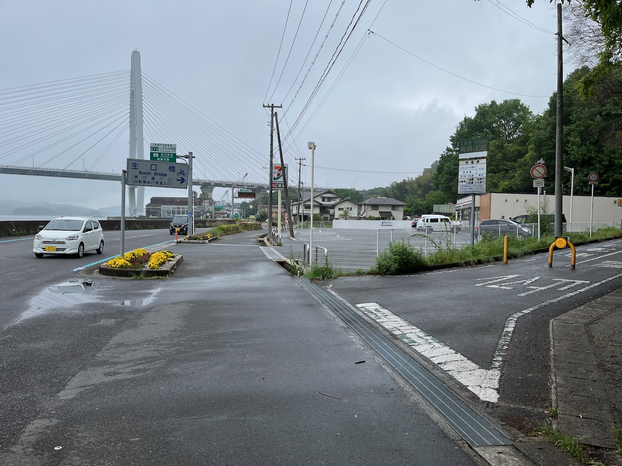
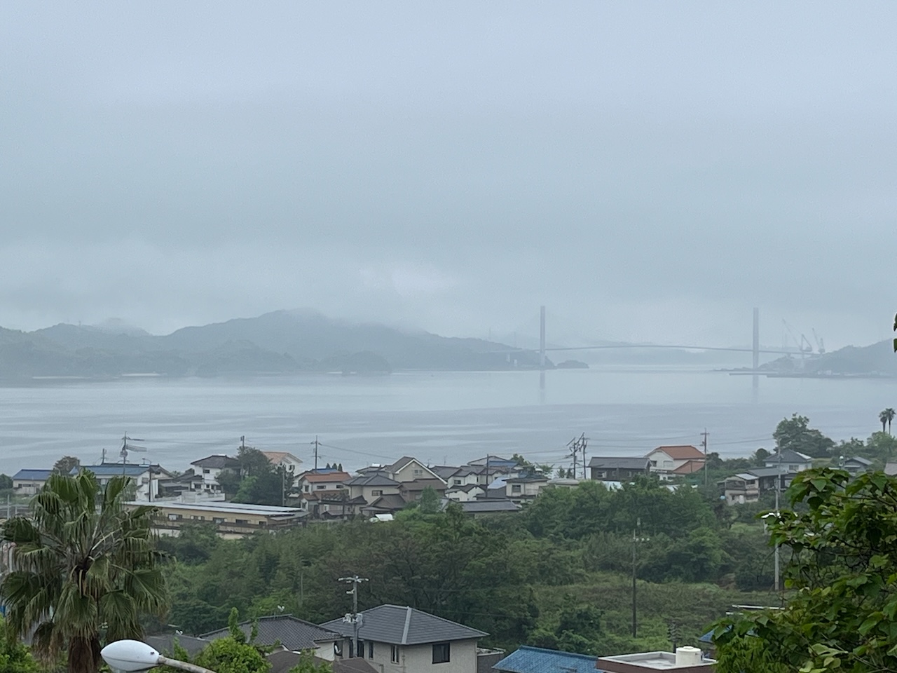
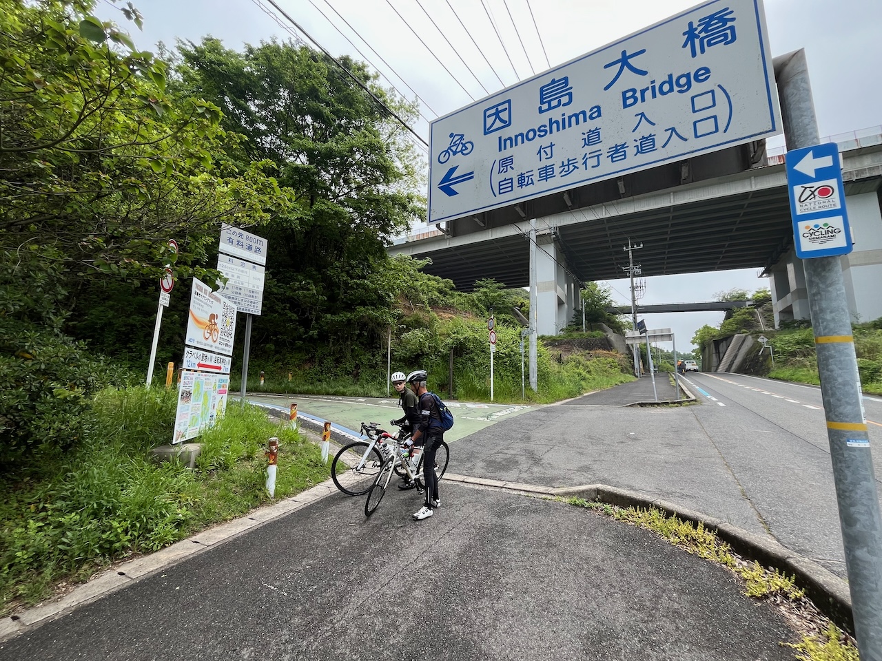
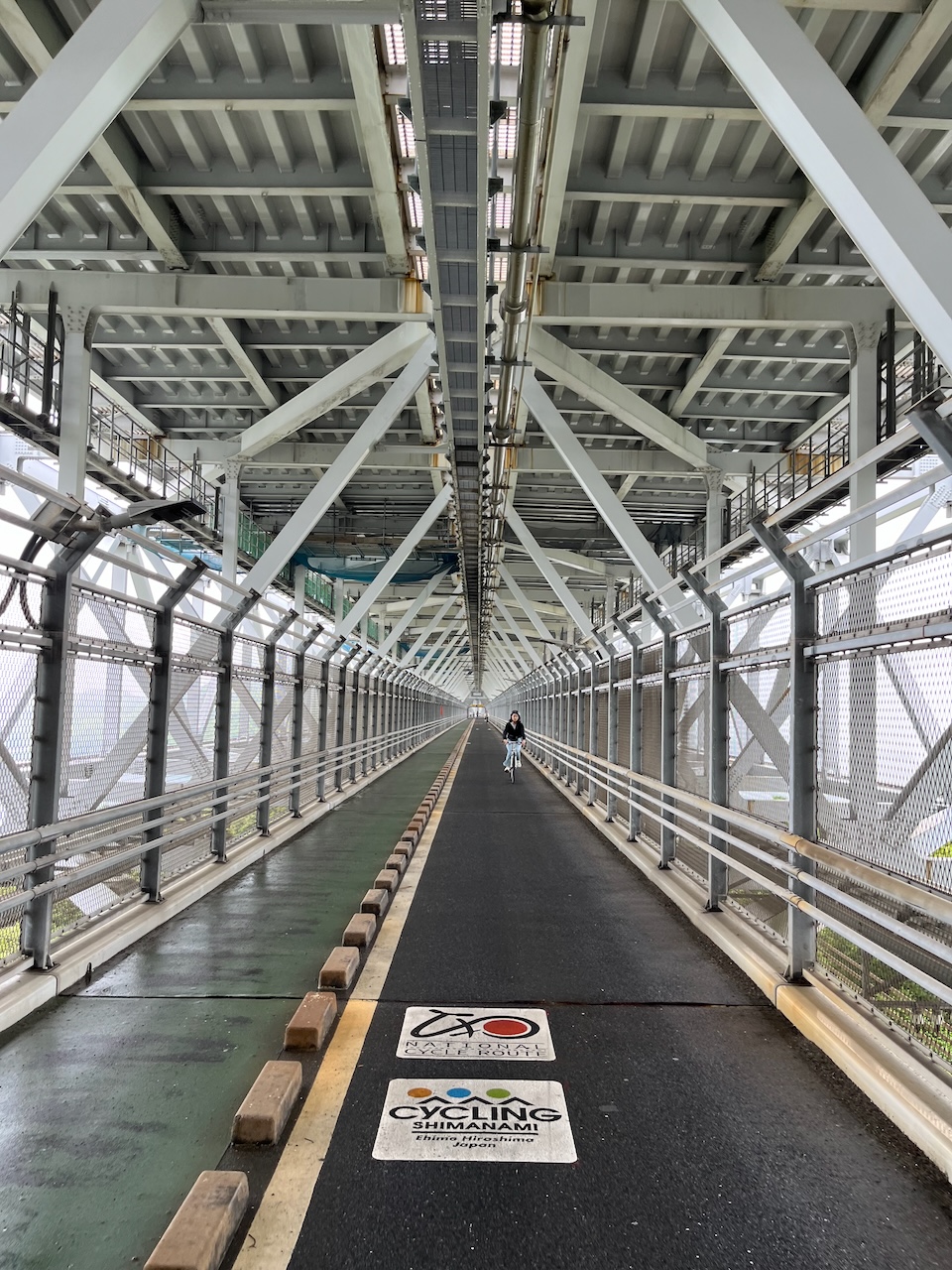
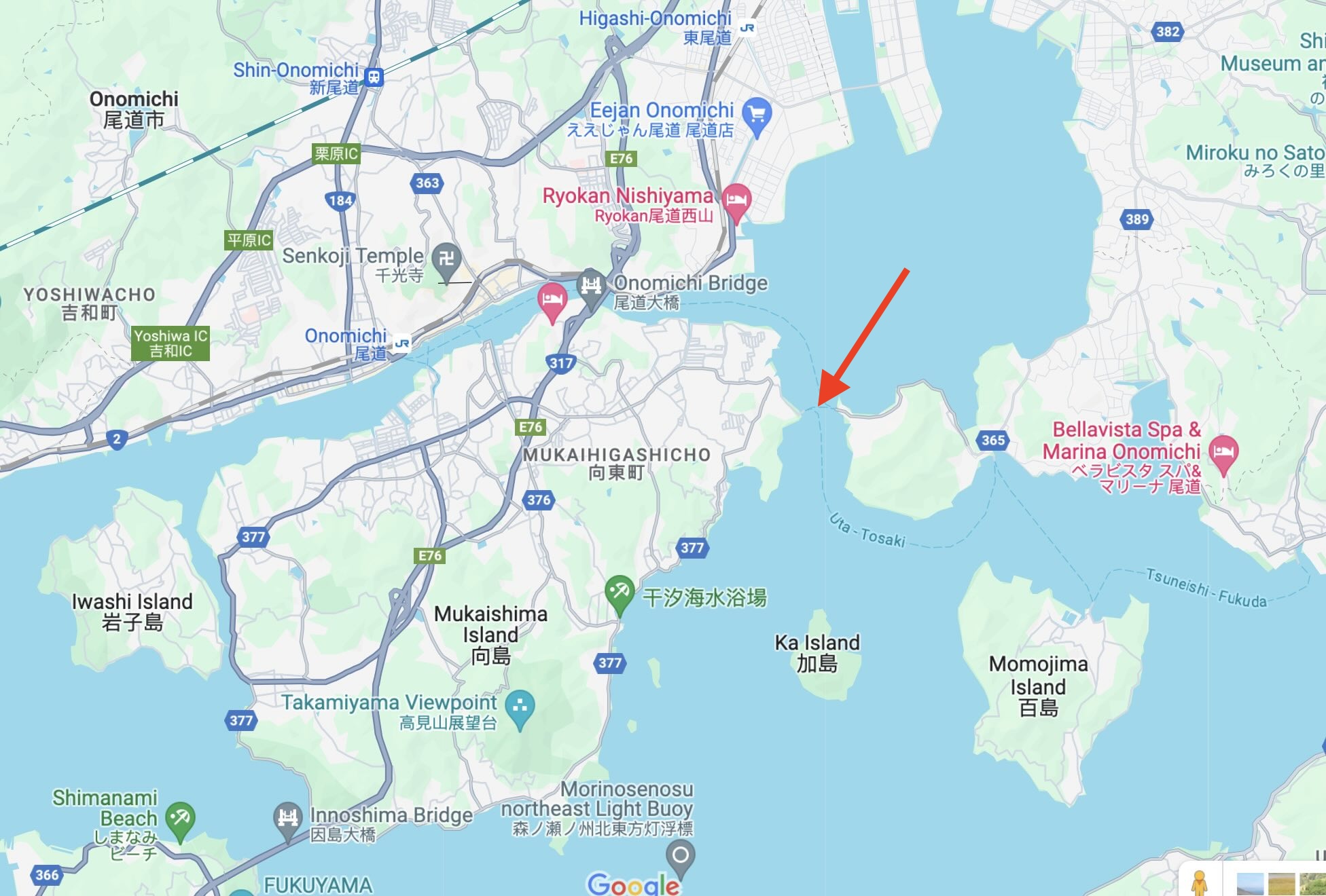
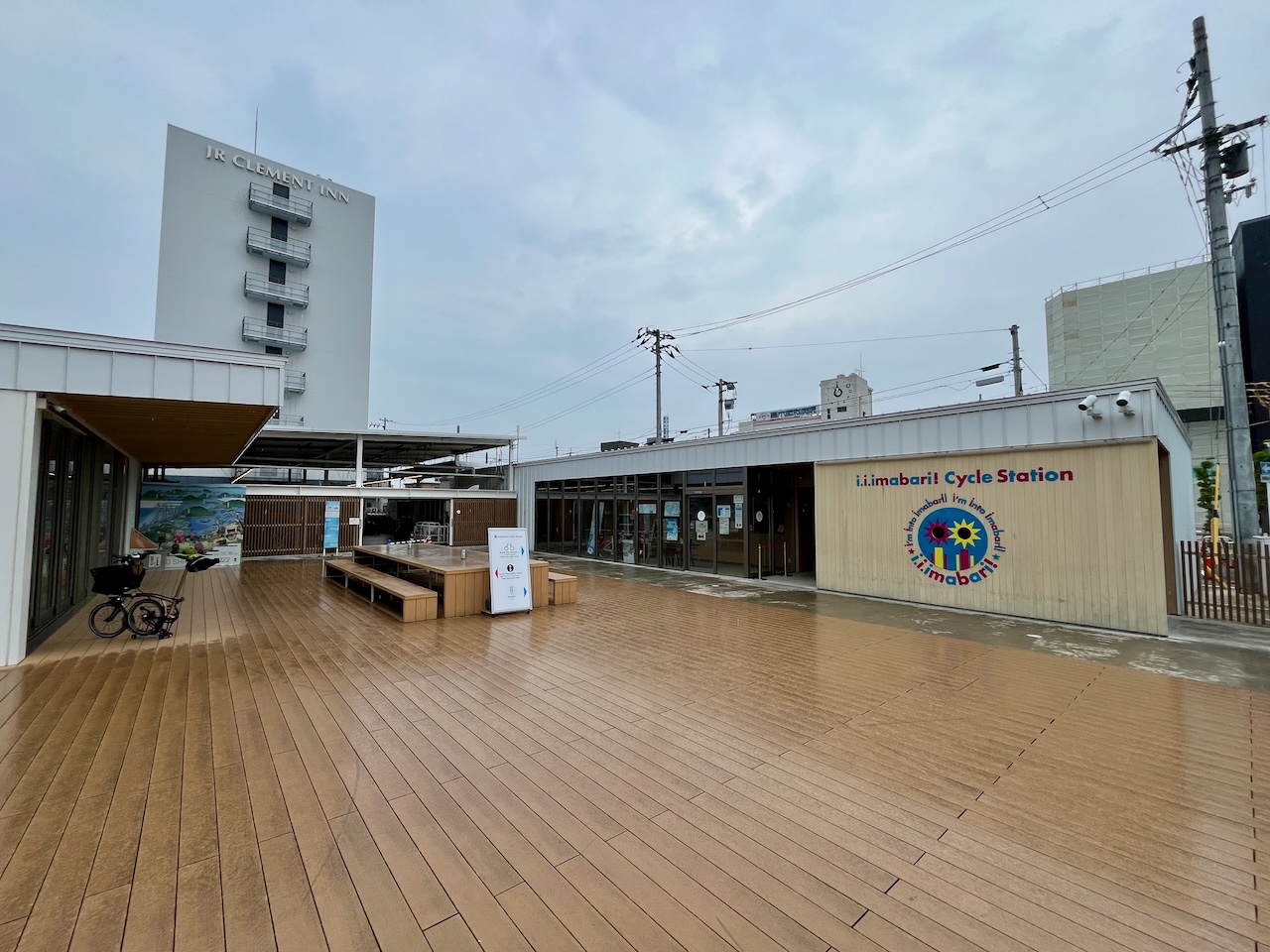
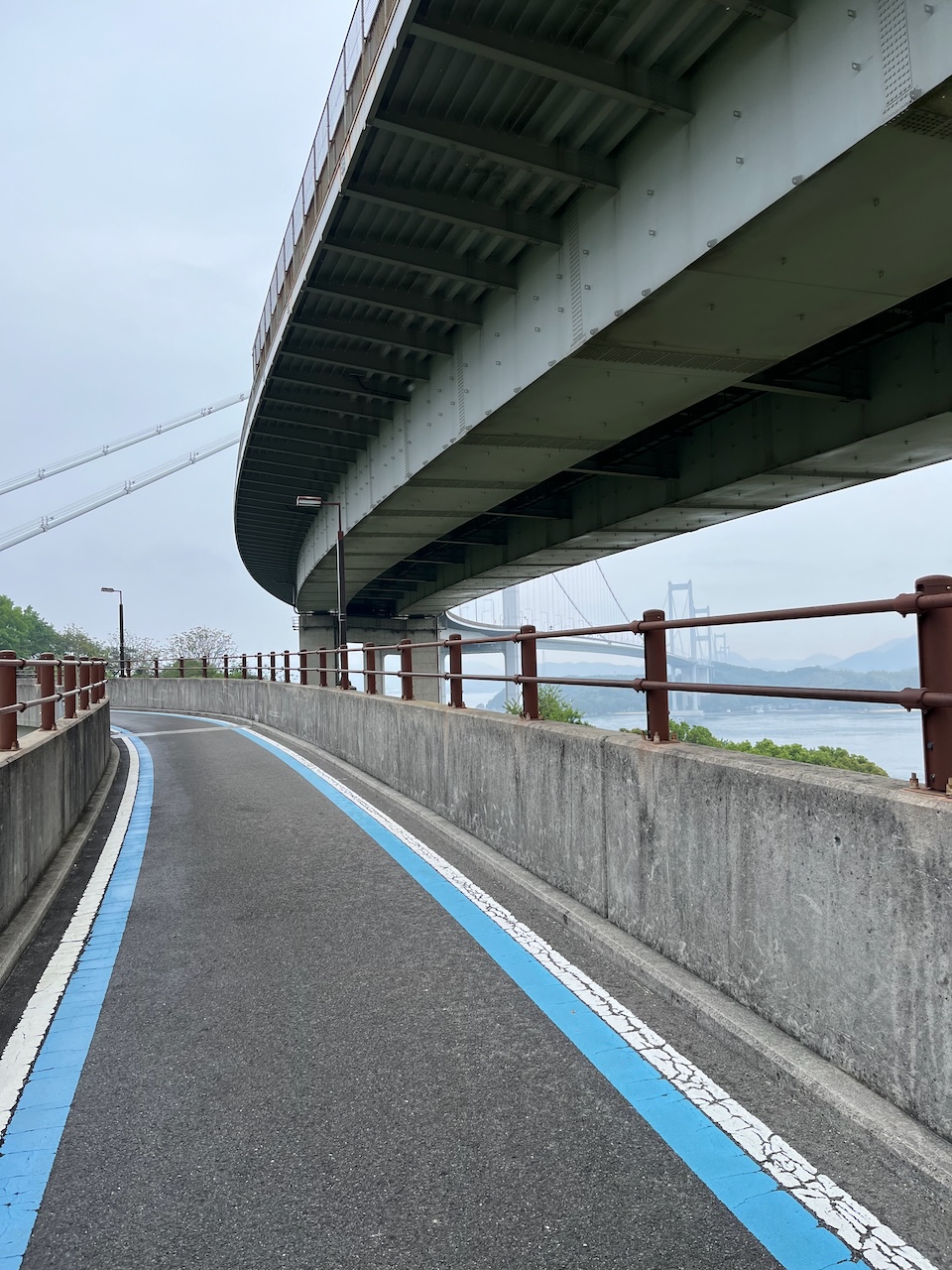
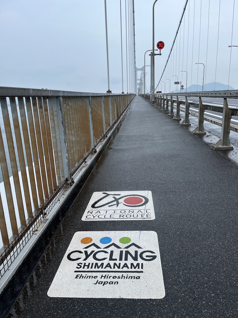
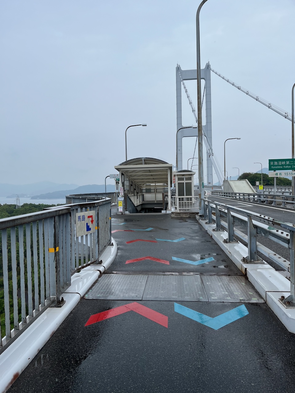
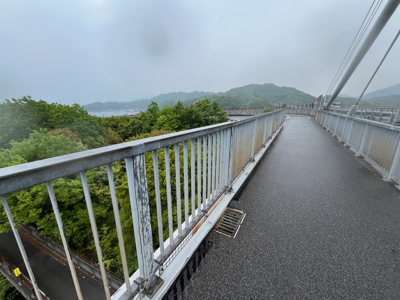
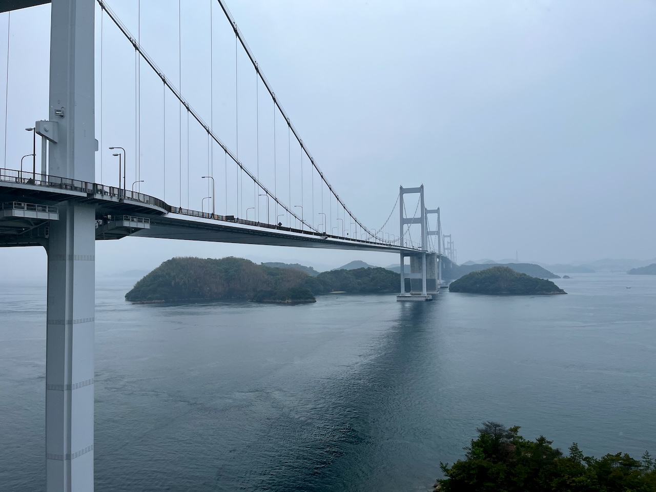
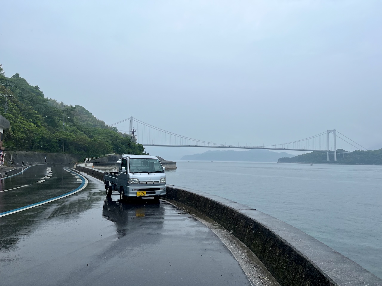
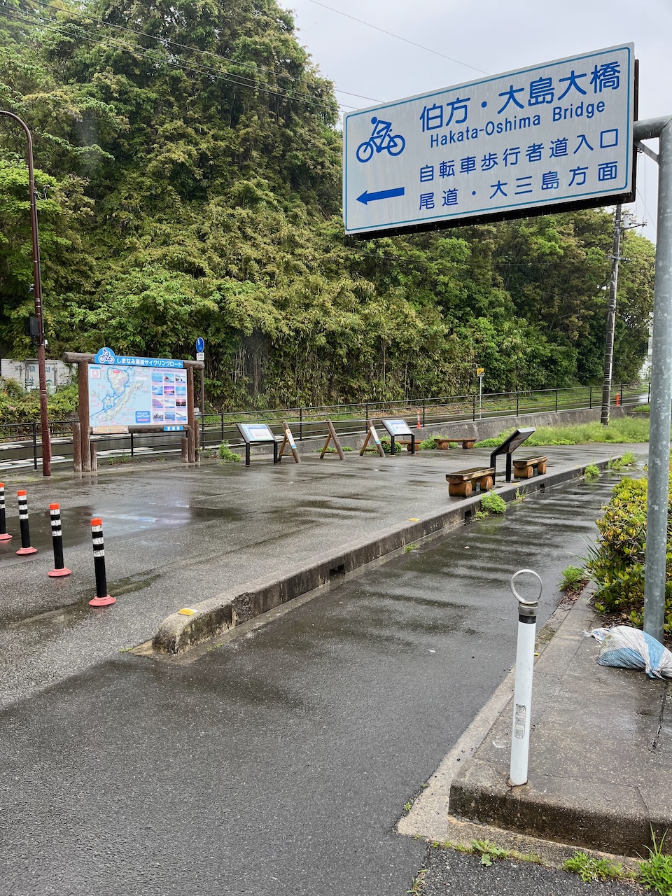
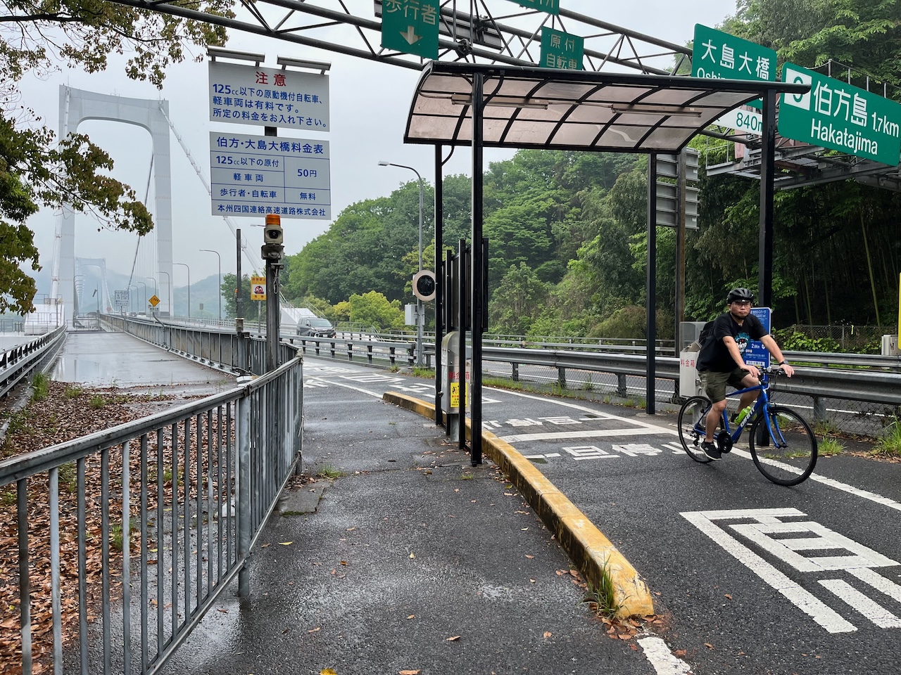
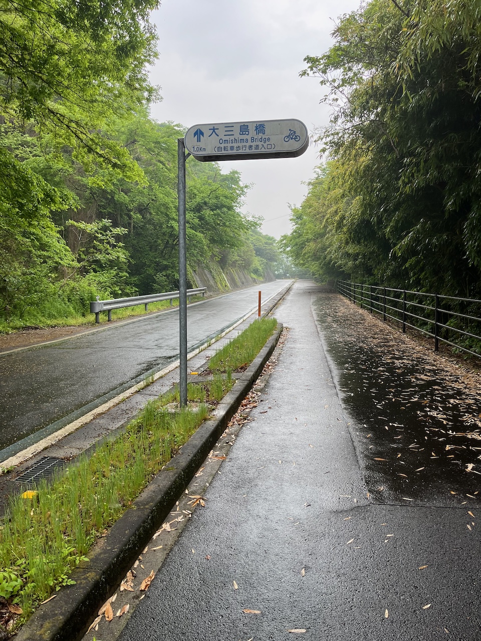
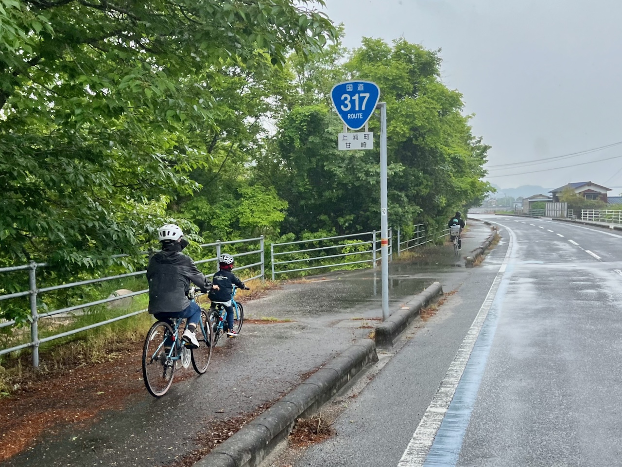
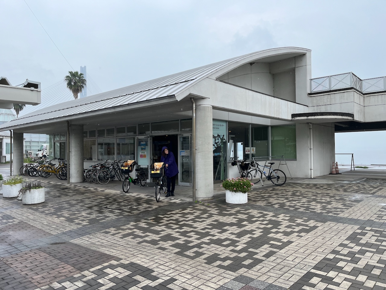
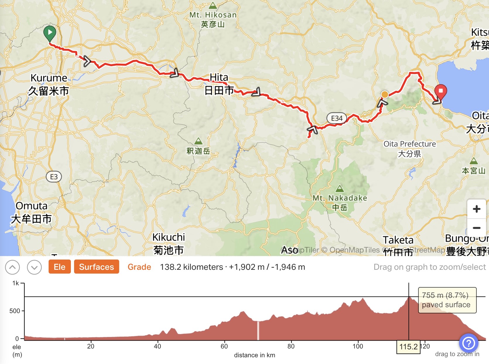
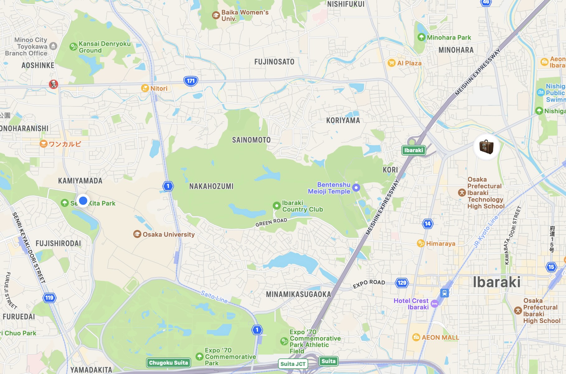
I was told that 180 people have registered for the Brompton Lovers Meeting at the Shimanami Kaido next weekend.
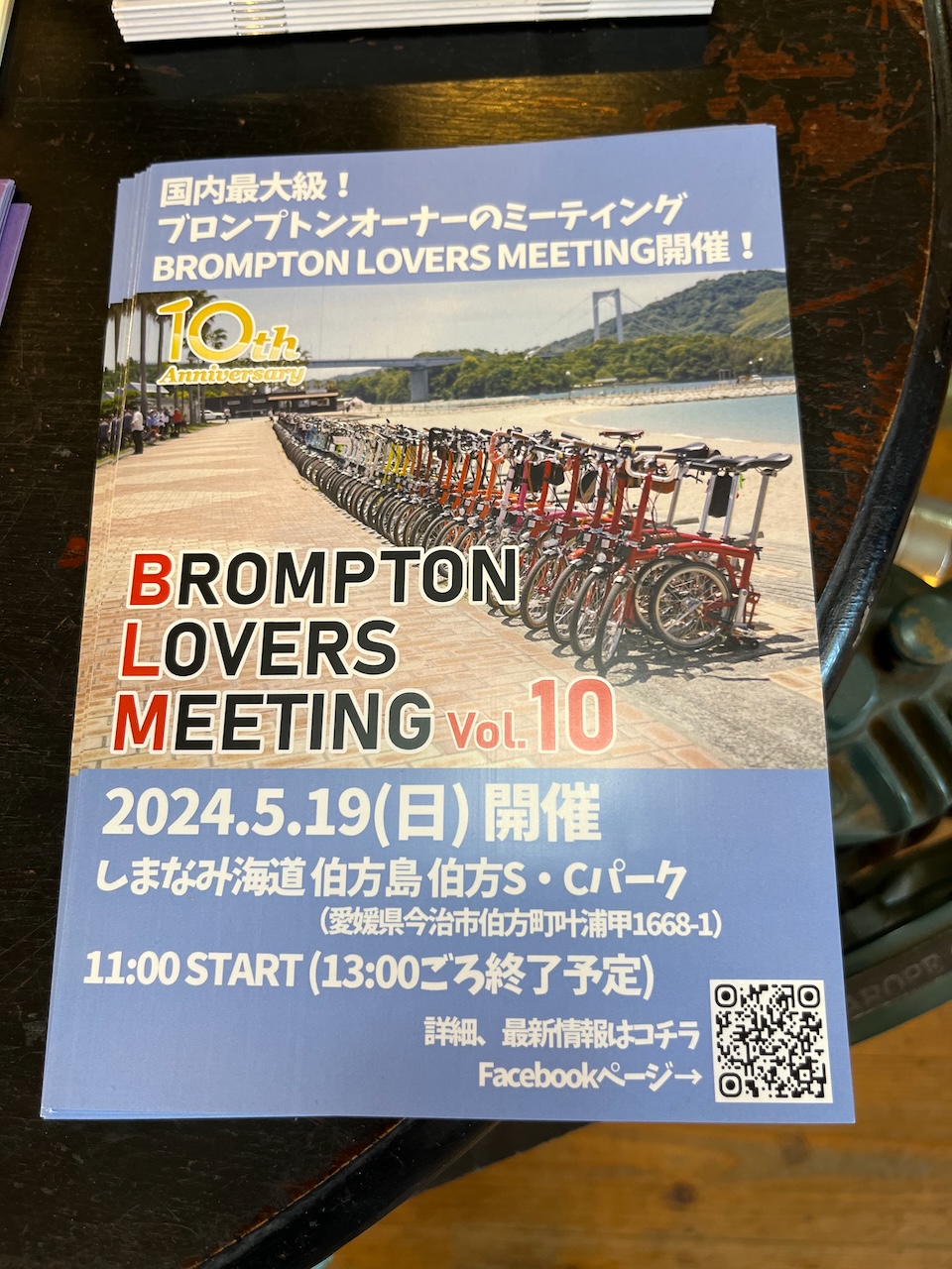
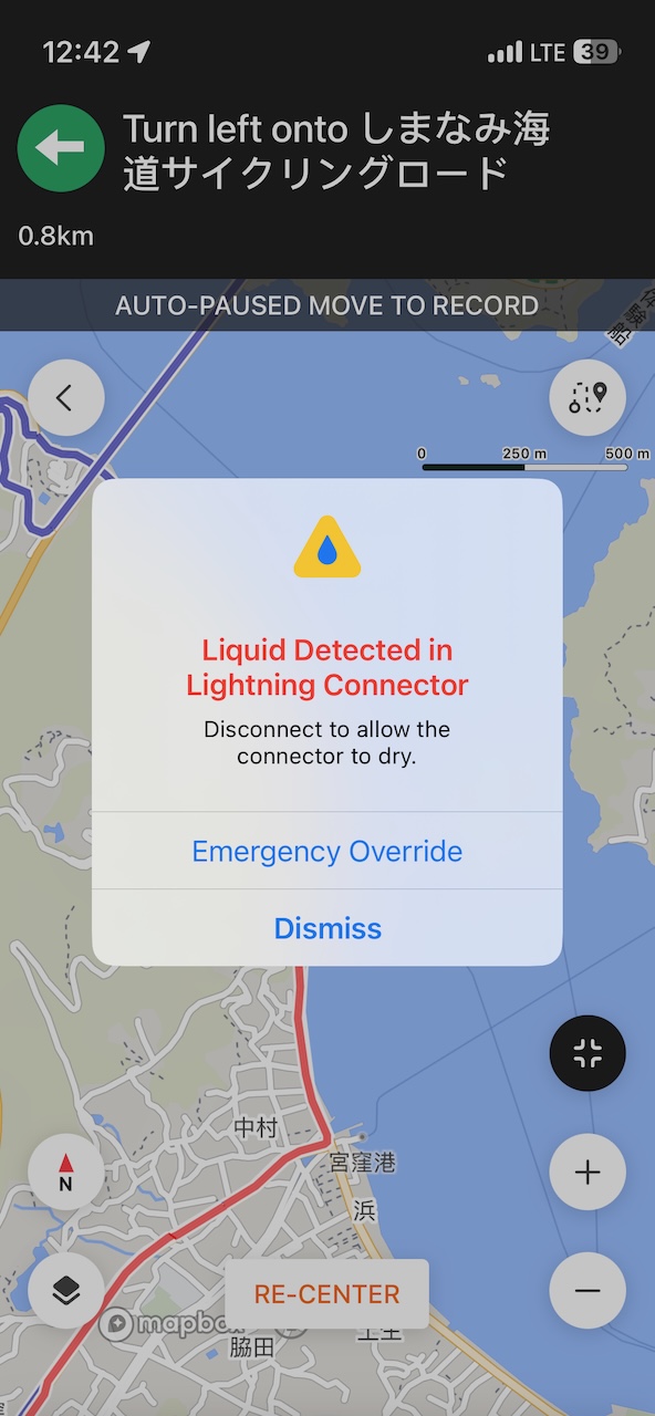
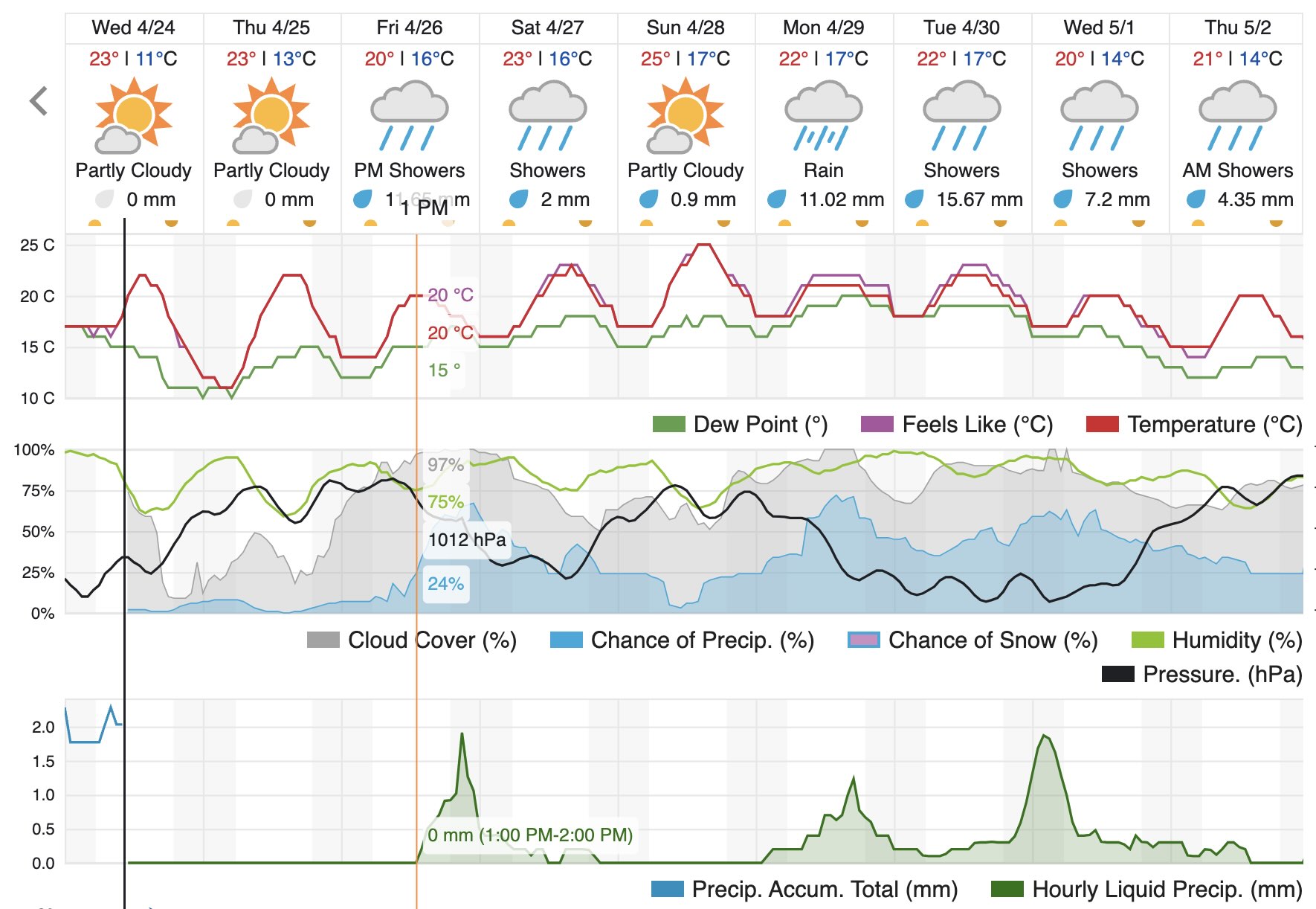
There are people starting from both ends, and there will be a group picture in the middle, somewhere on Hakata Jima. That would be something to see. Wishing them better weather than what I experienced.
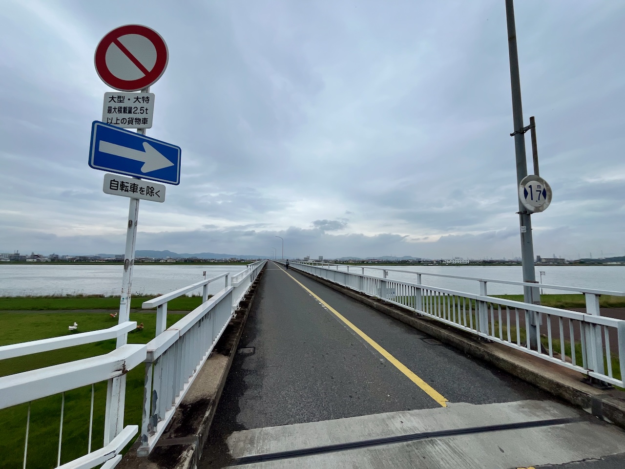
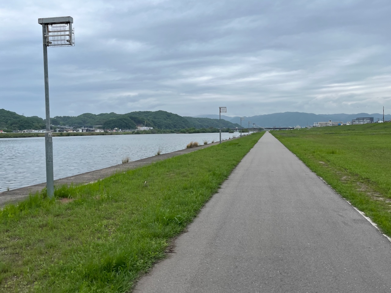
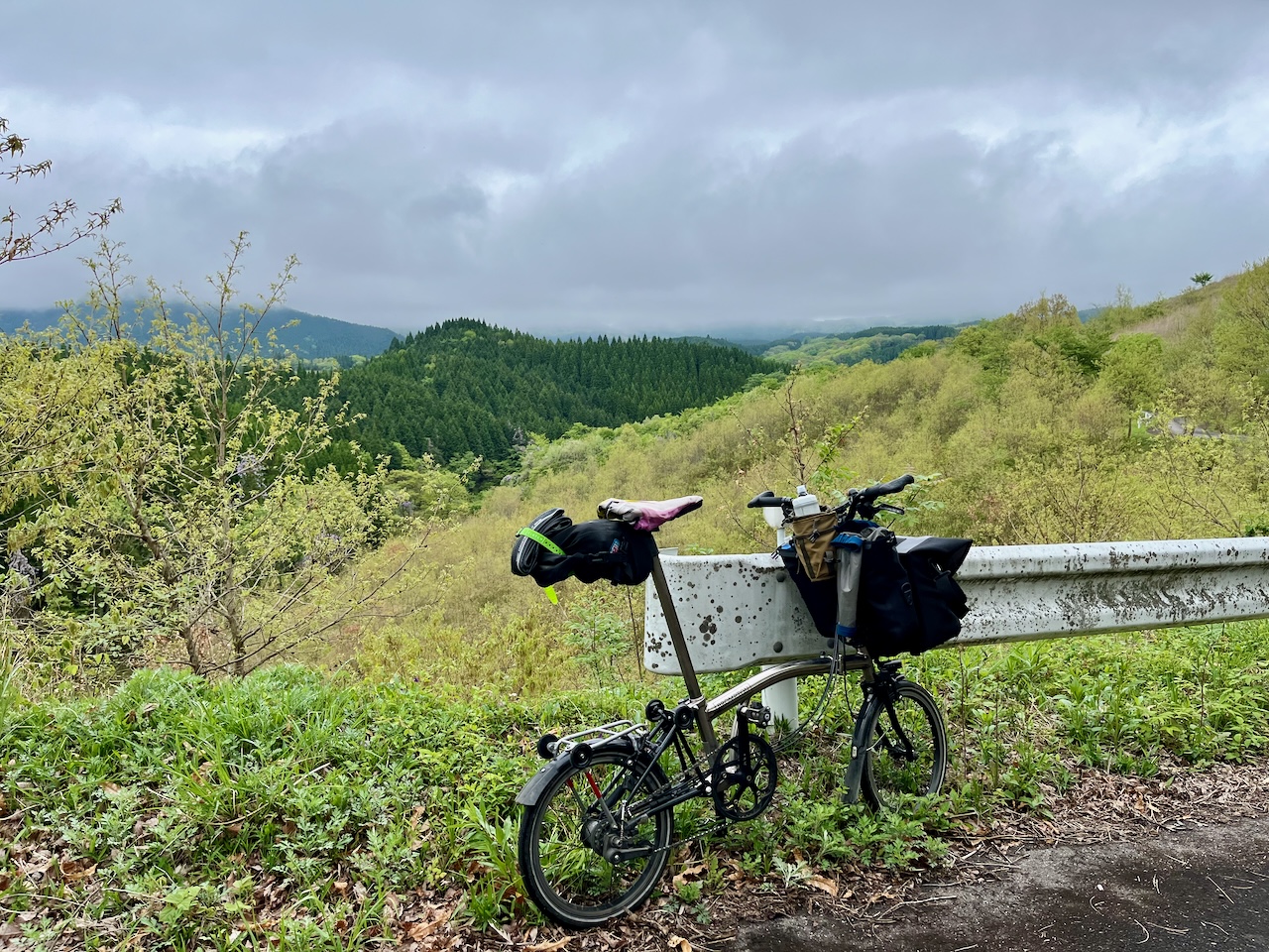
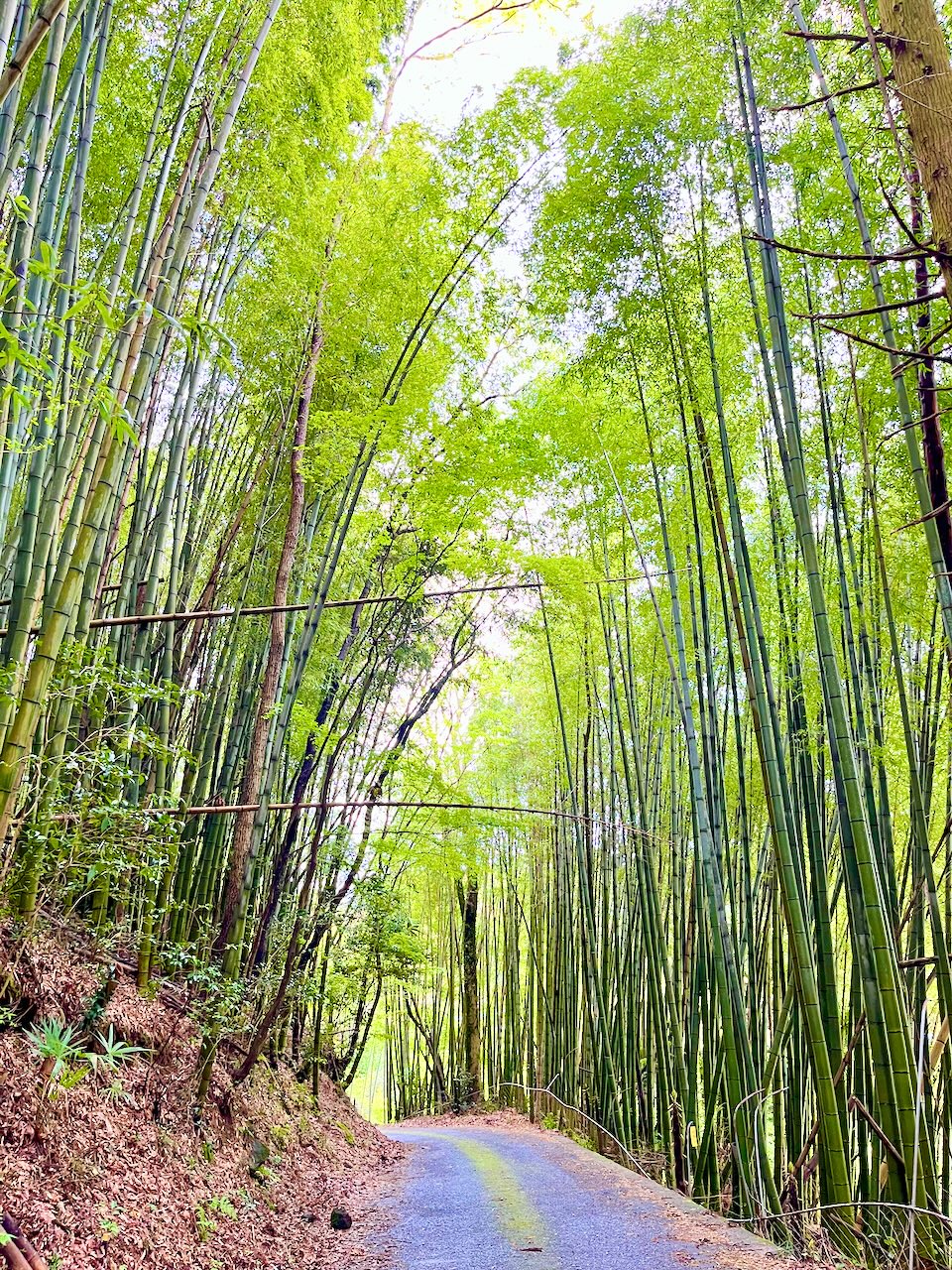
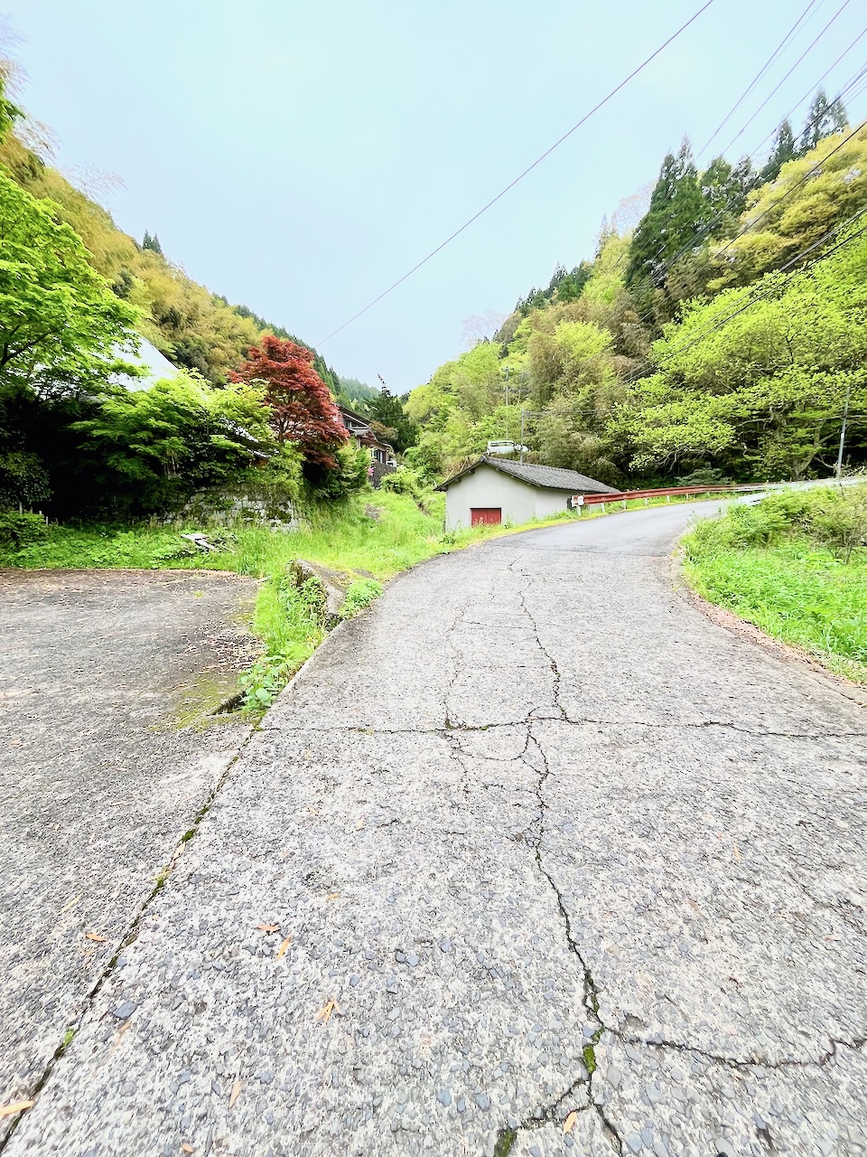
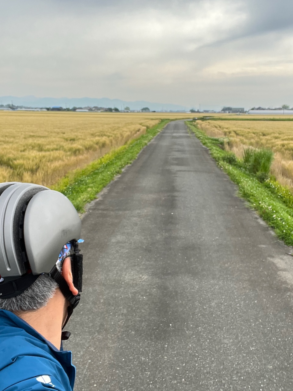
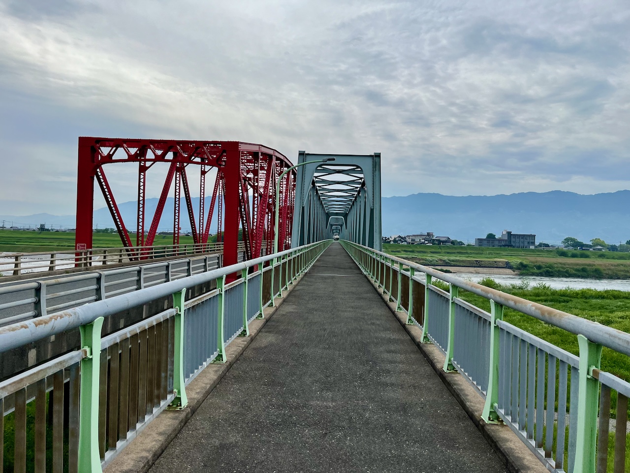
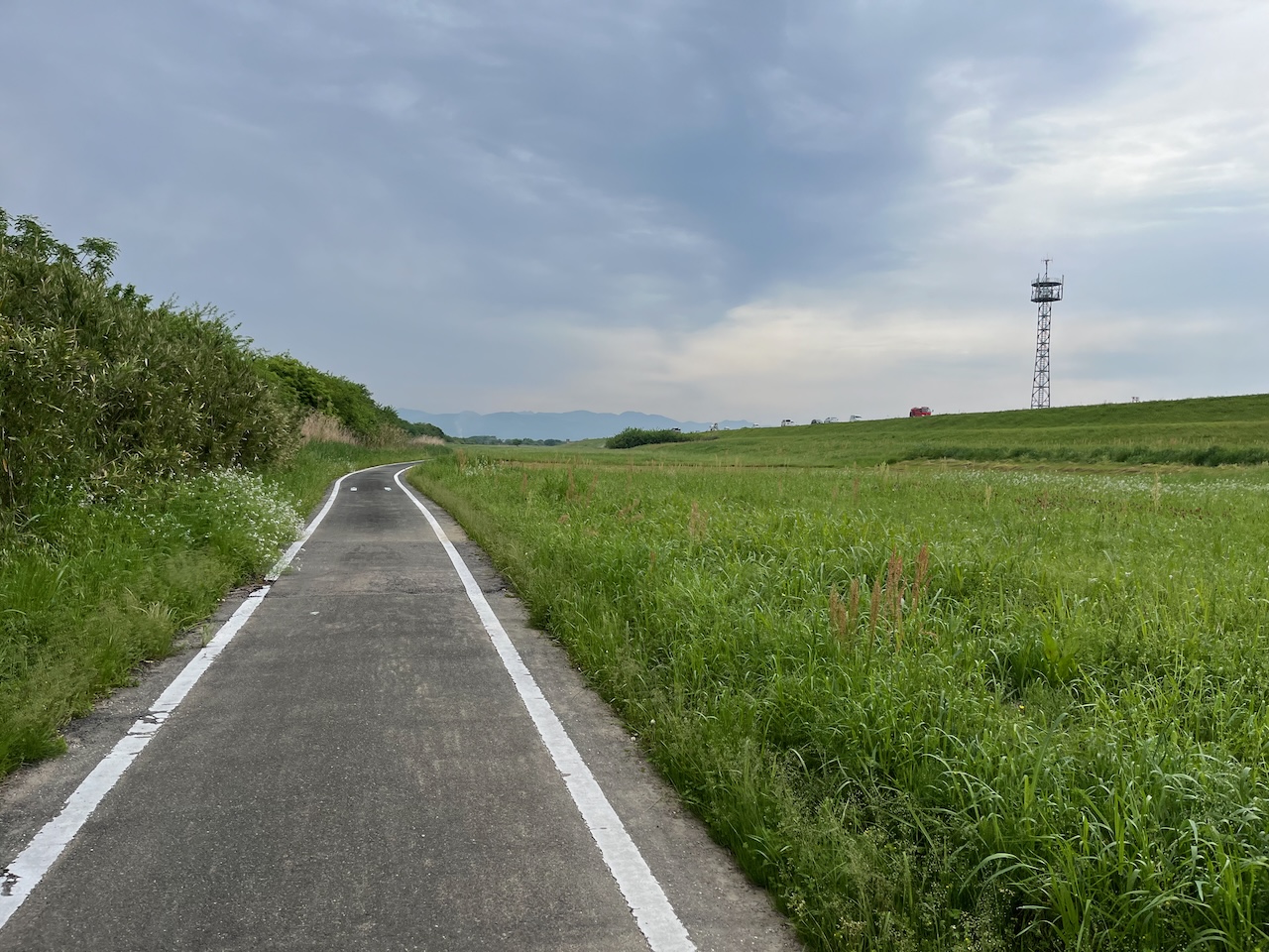
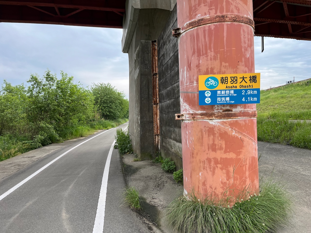
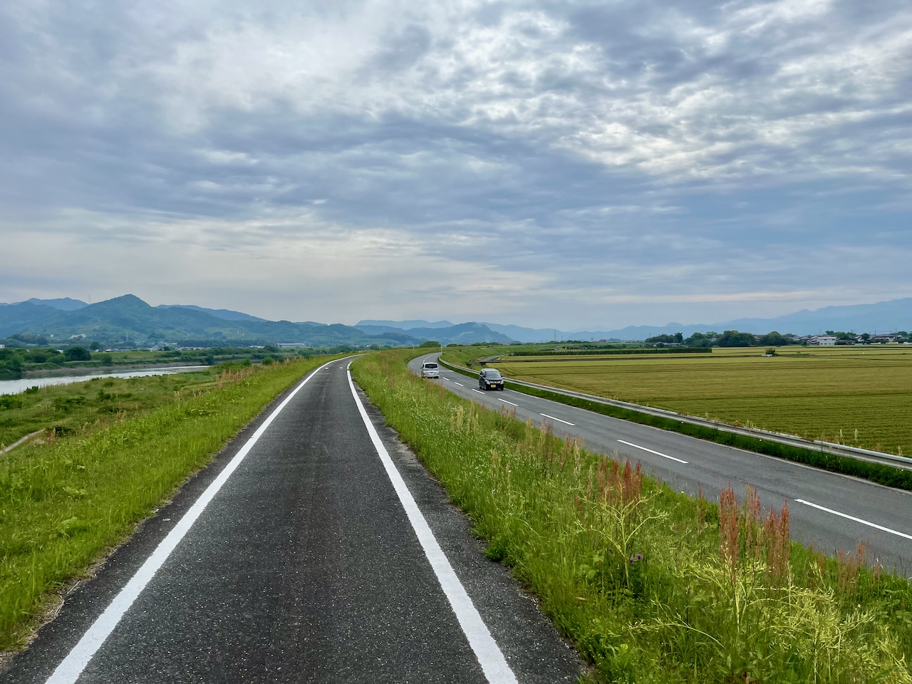
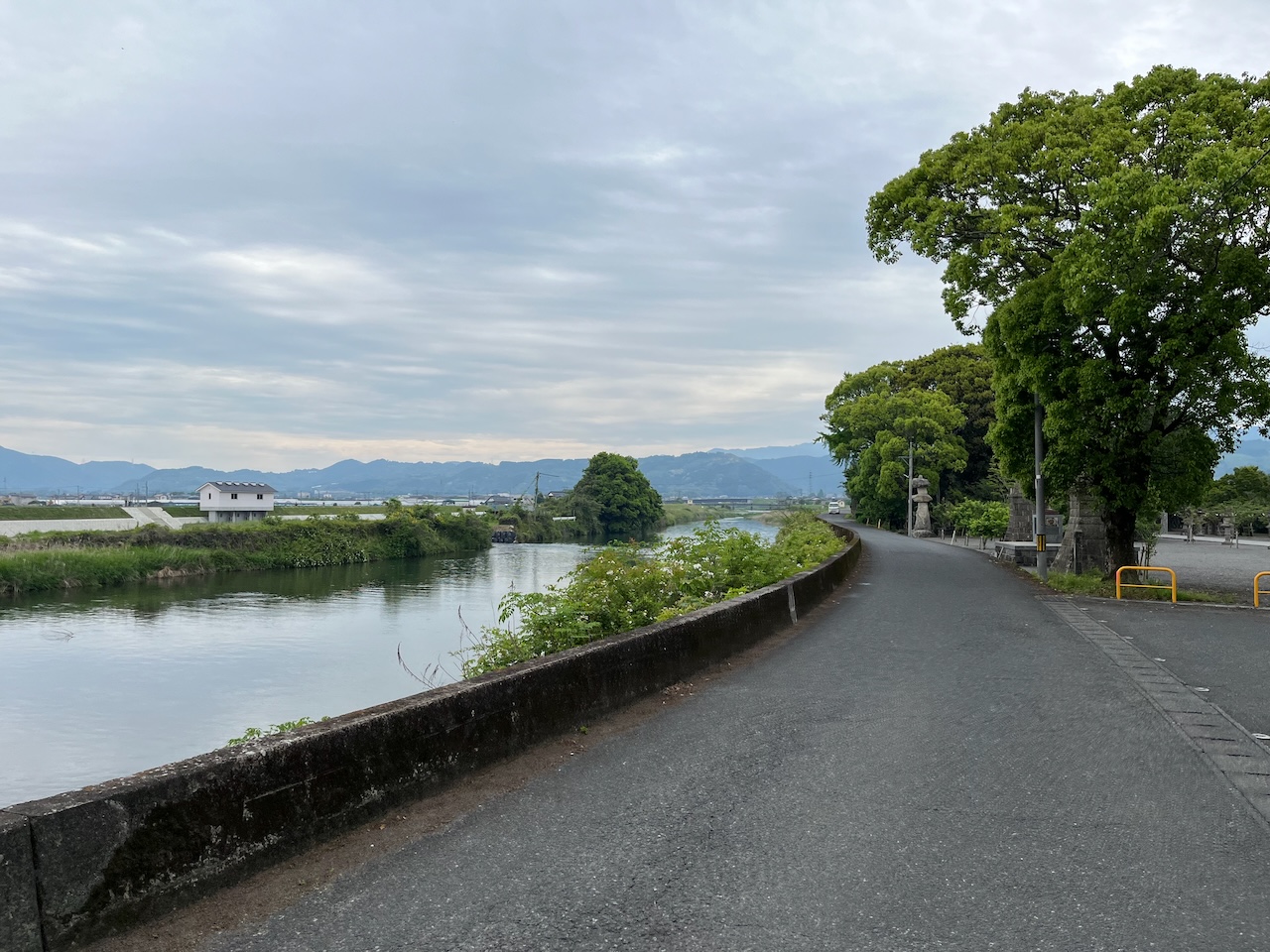
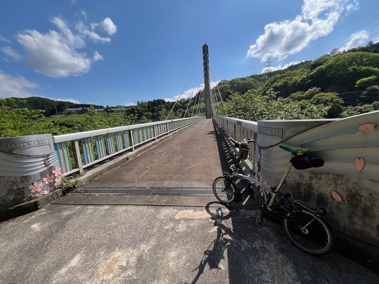
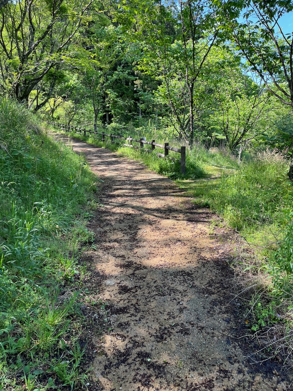
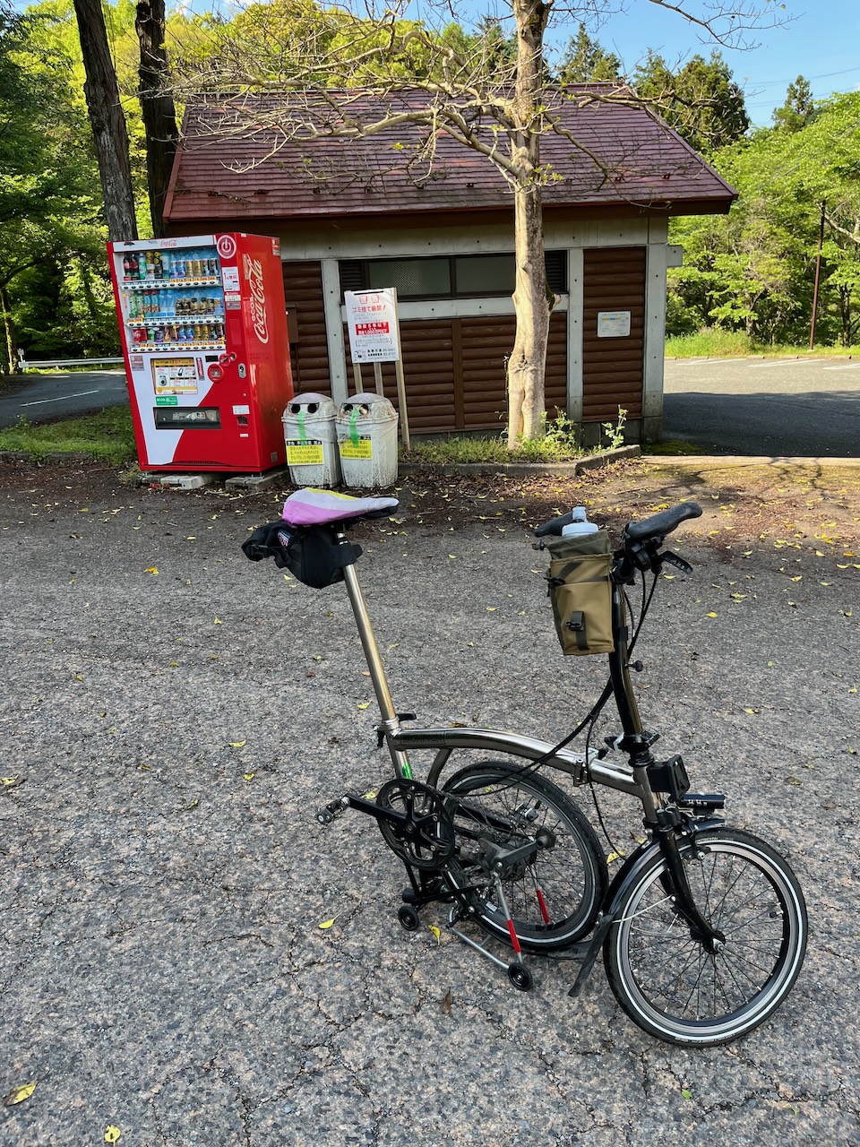
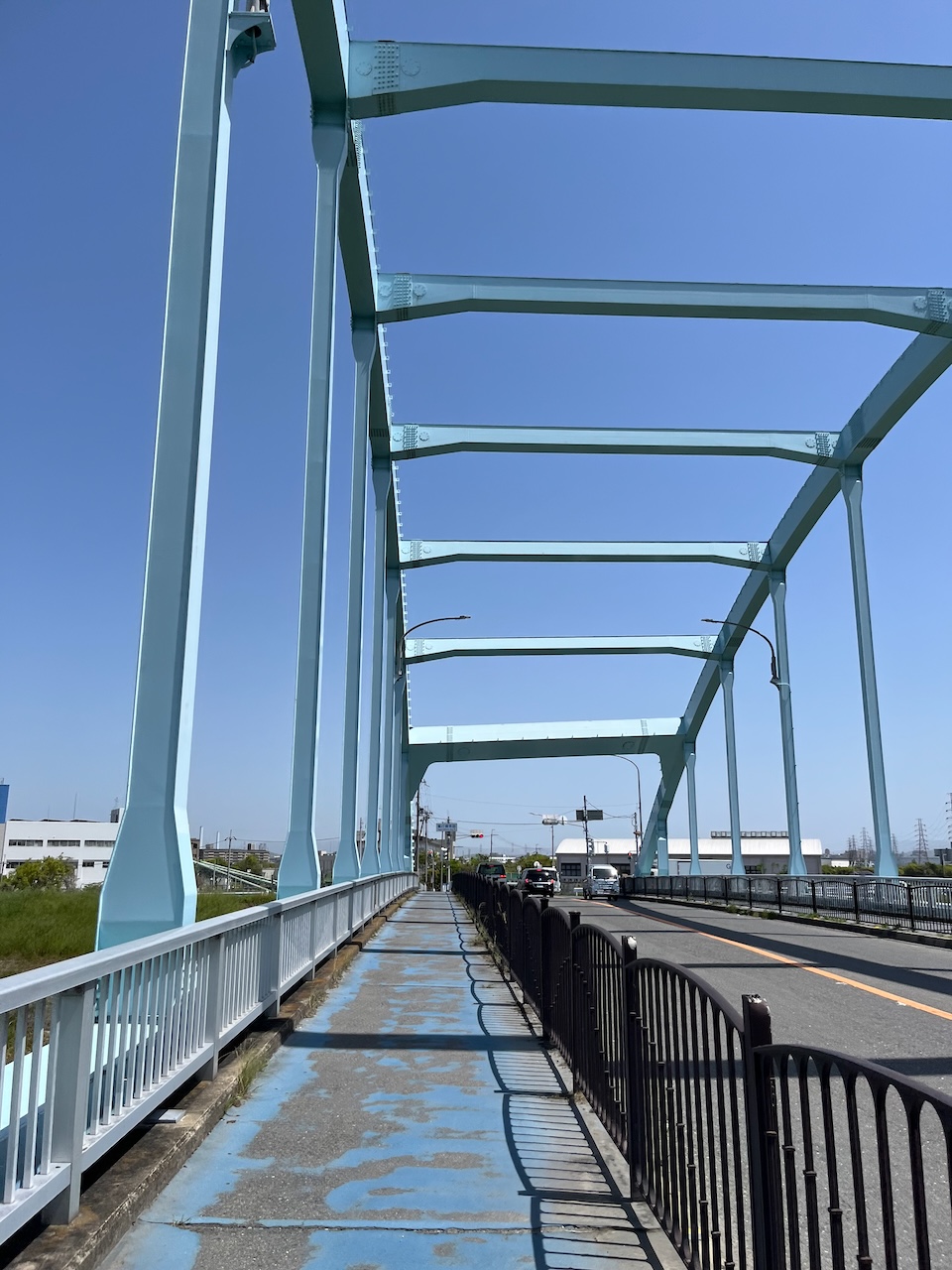
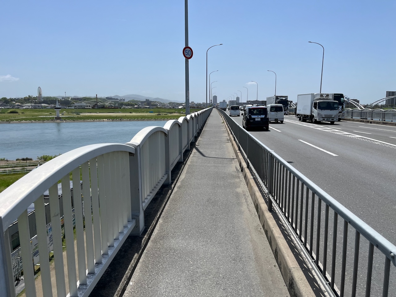
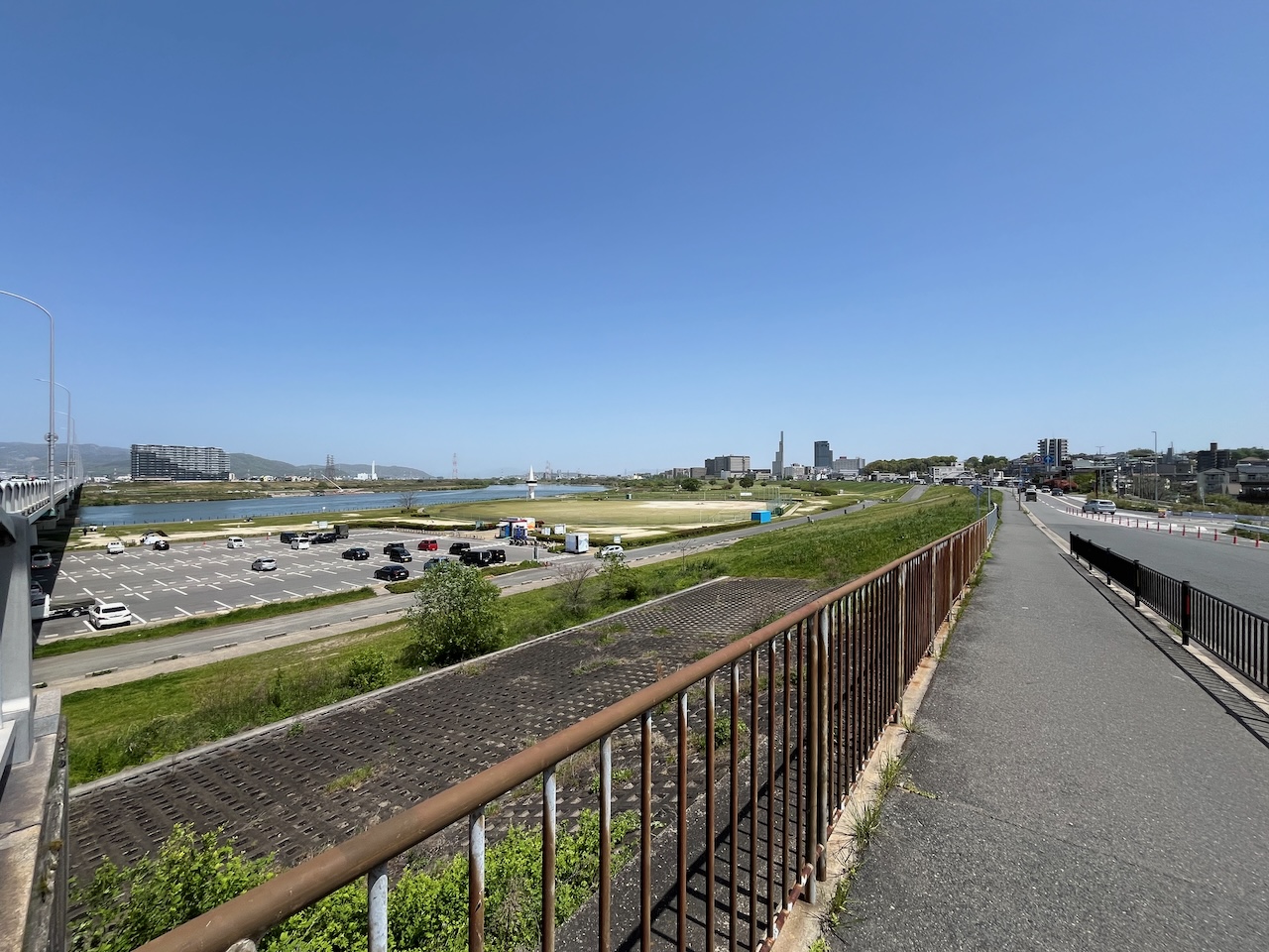
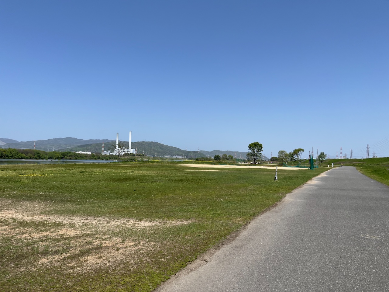
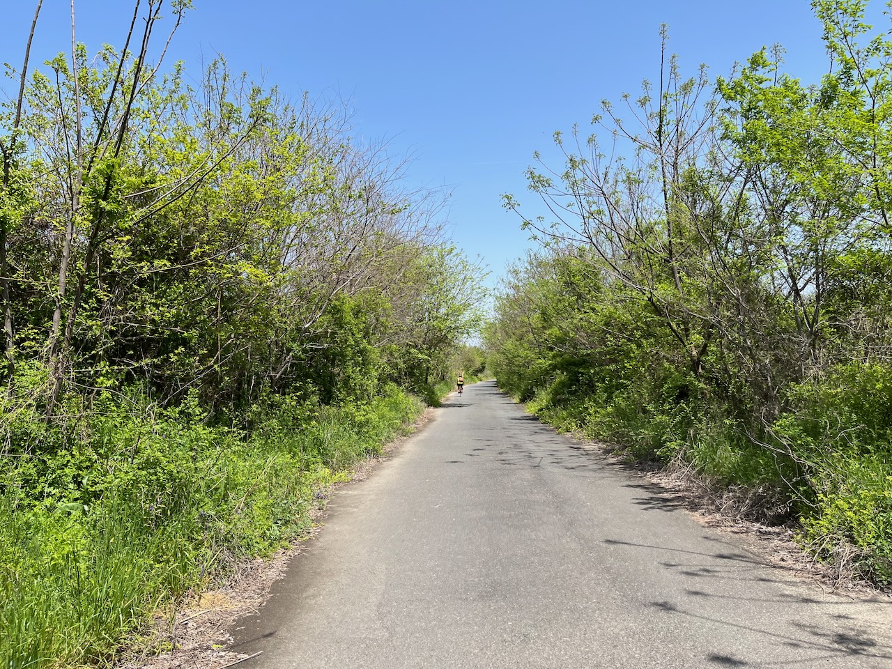
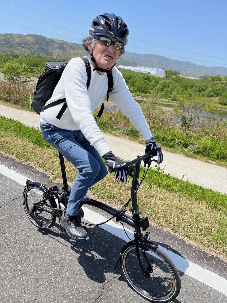
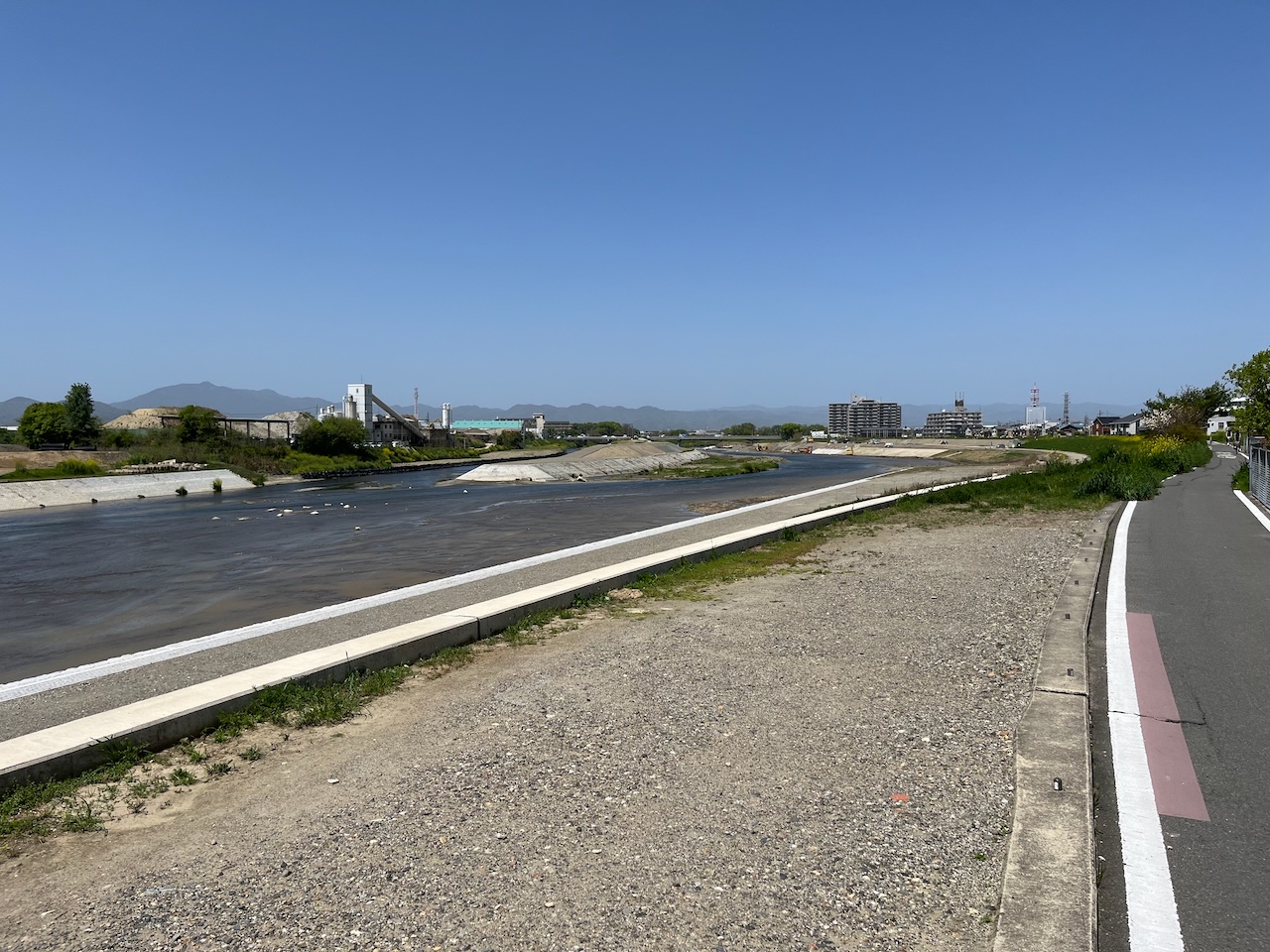
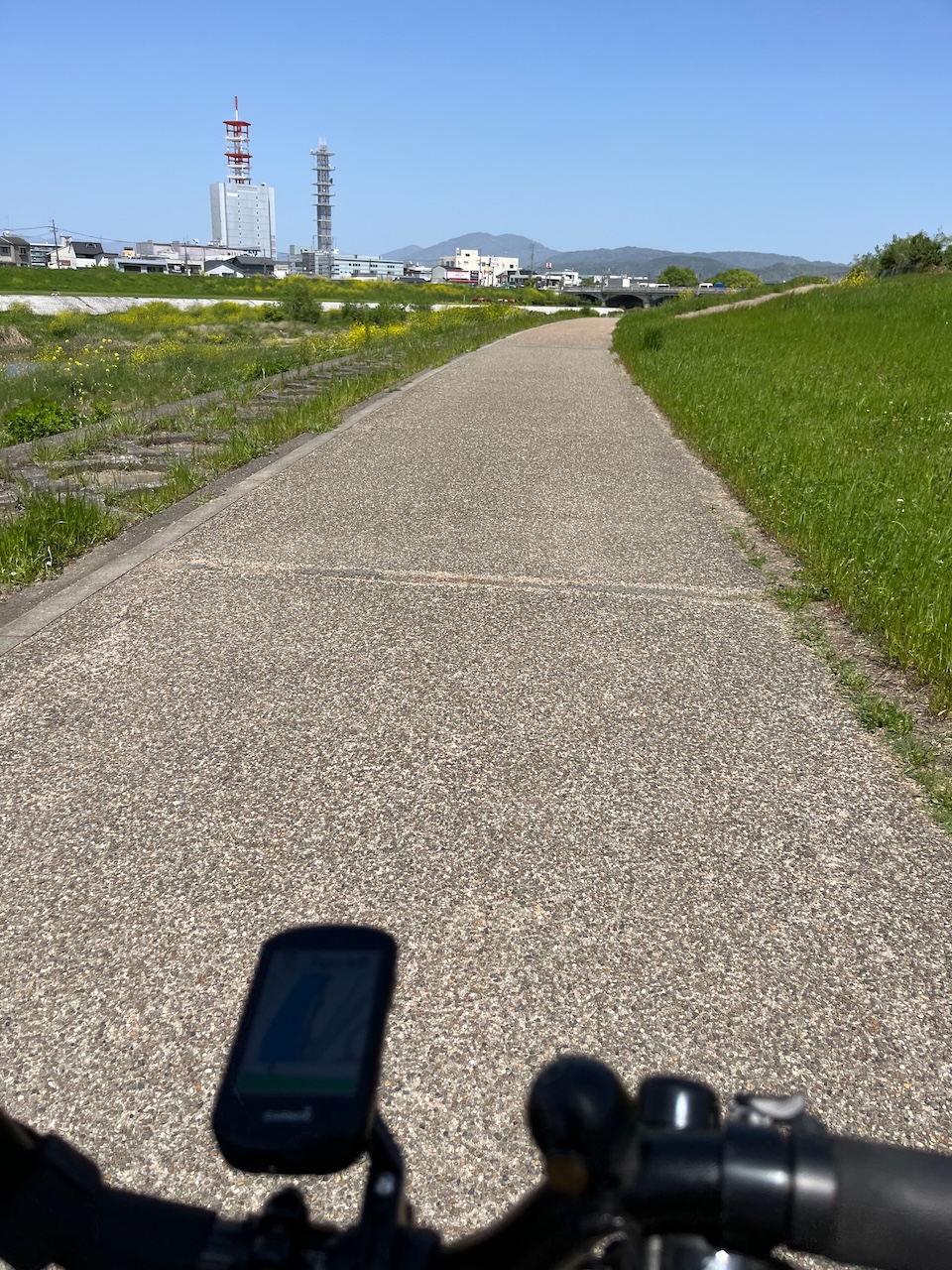
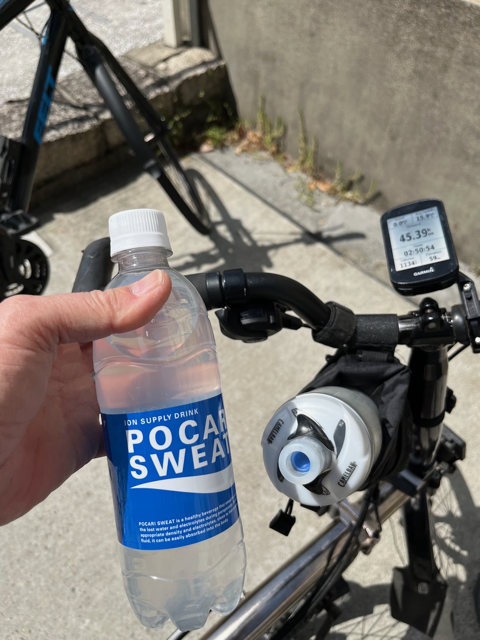
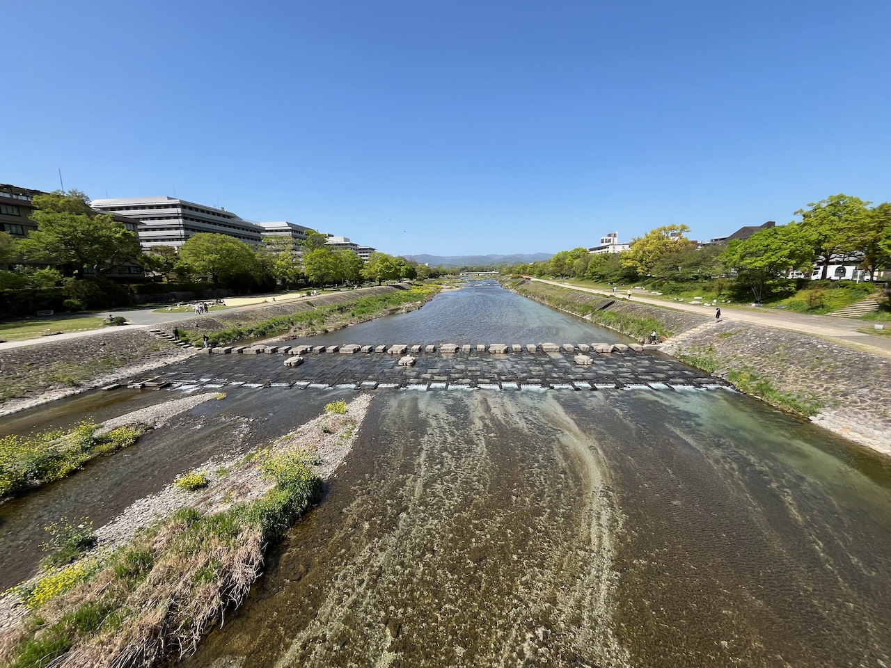
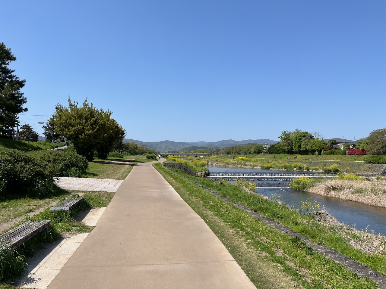
The site was just by the Tama river so I couldn’t resist riding at least a little bit on the way back.


Thanks to the organizers. I had fun chatting with many others, subject to my limited Japanese.
On a side note: I see that Tokyu Hands now sells Bromptons as well. Not sure how I feel about this.

Second note: I saw that Brompton just dropped a “Palace” edition, which is apparently a collaboration with a skateboard company.