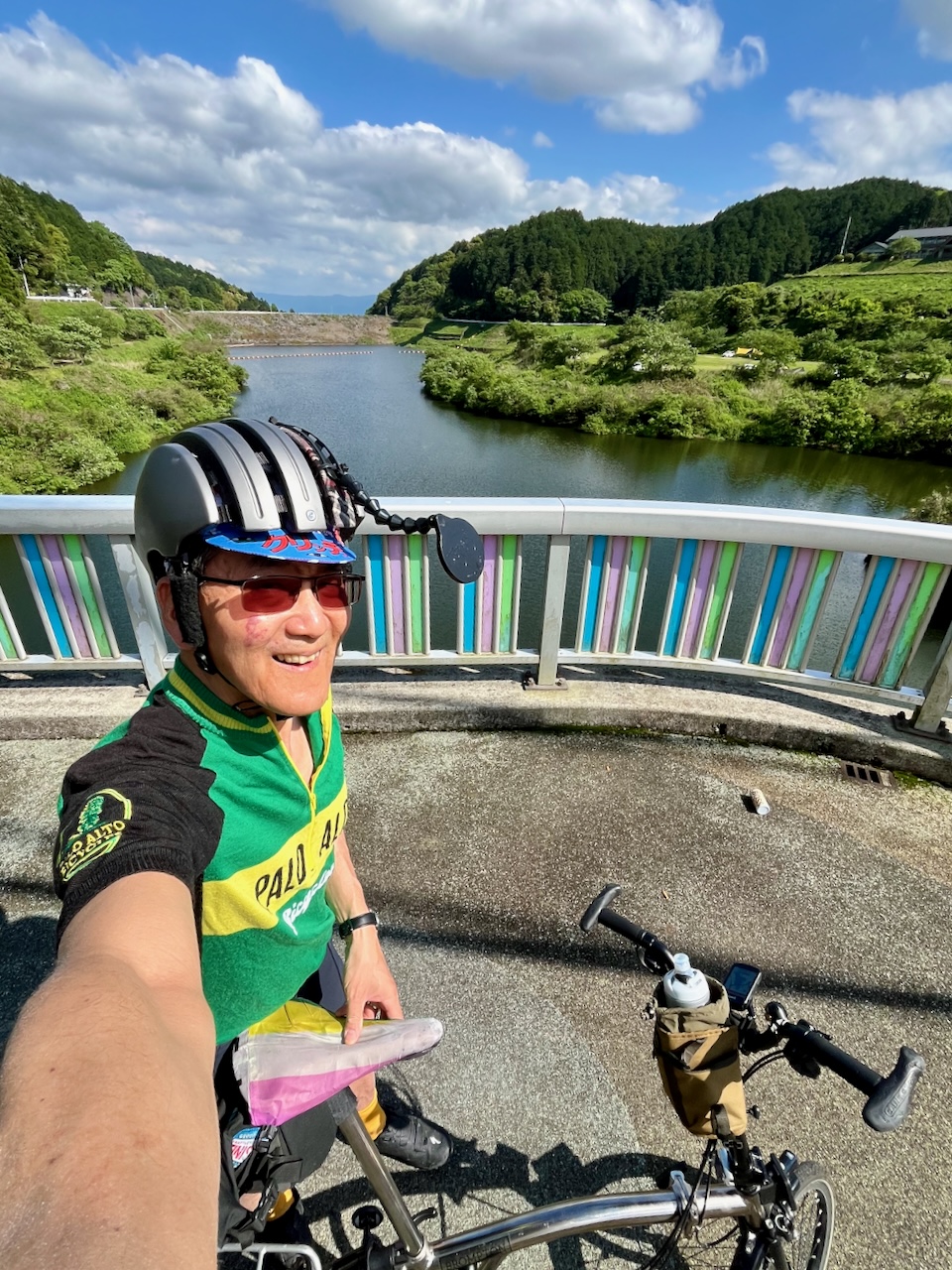
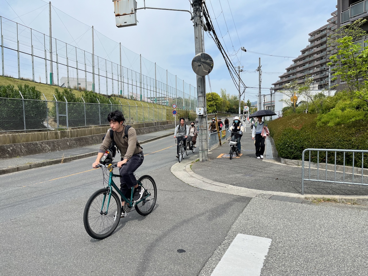
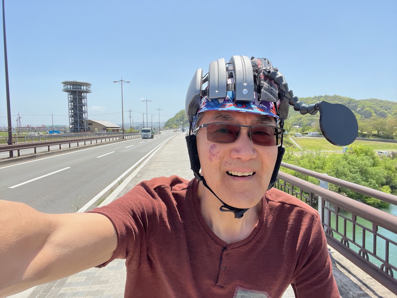
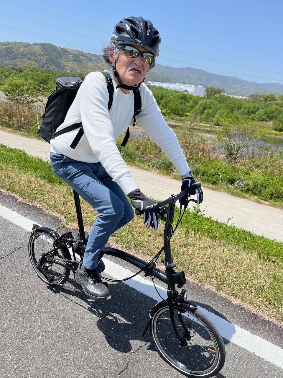
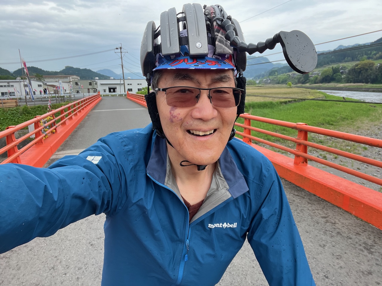
Today was the first of a five day credit card tour. I knew that today’s ride would be the most difficult as it had both the longest distance, and the most climbing. As it was, I’m not ashamed to say that I had to walk the bike up a few hills.
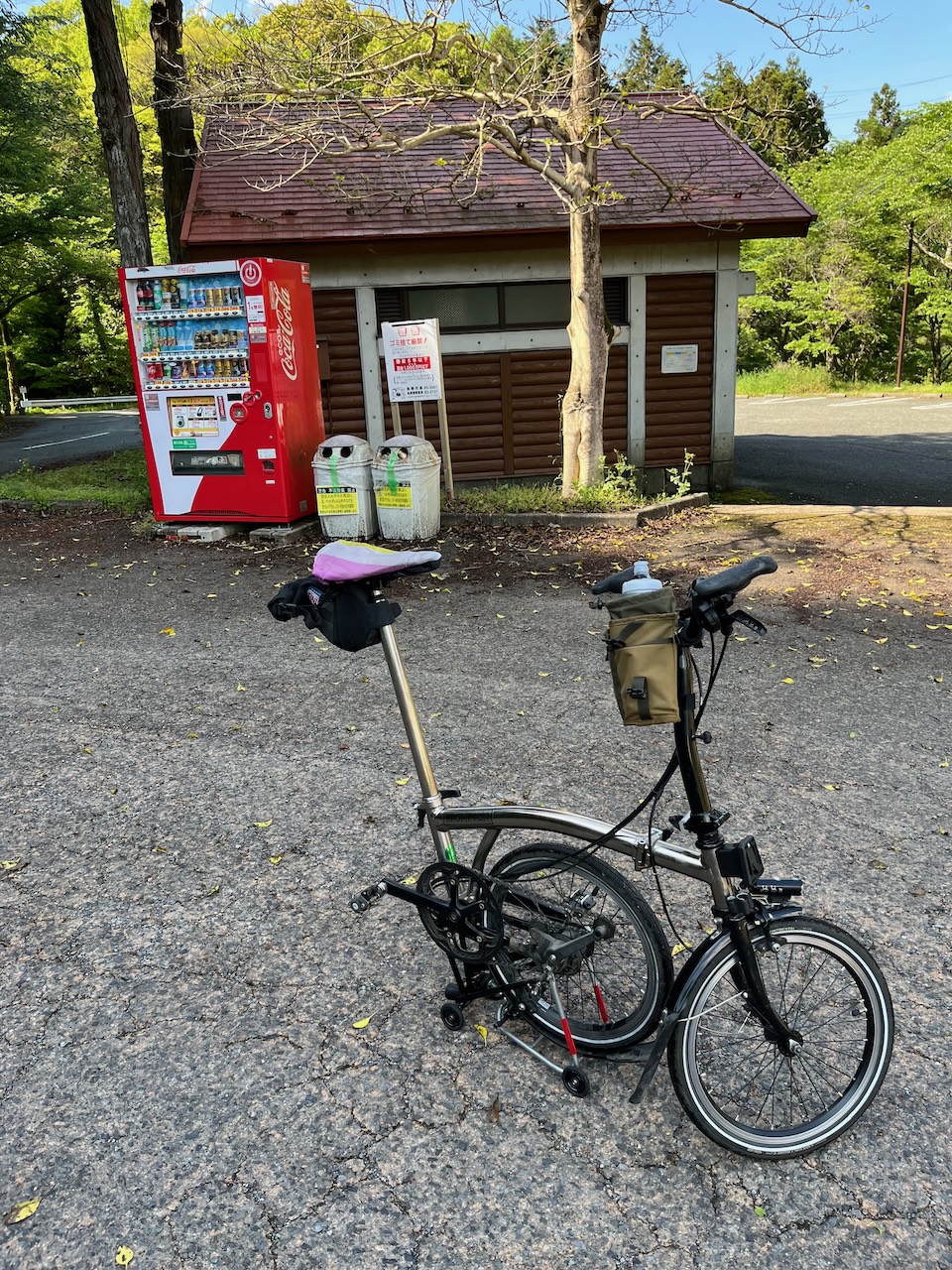
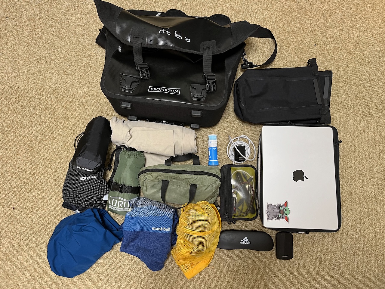
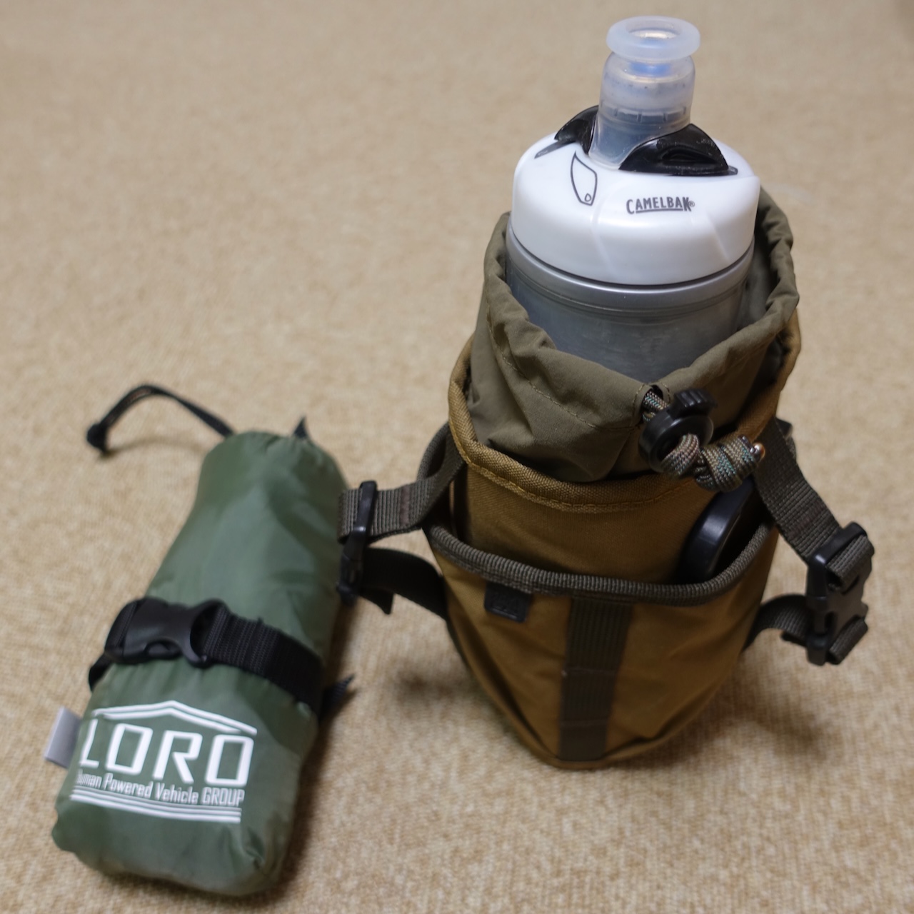
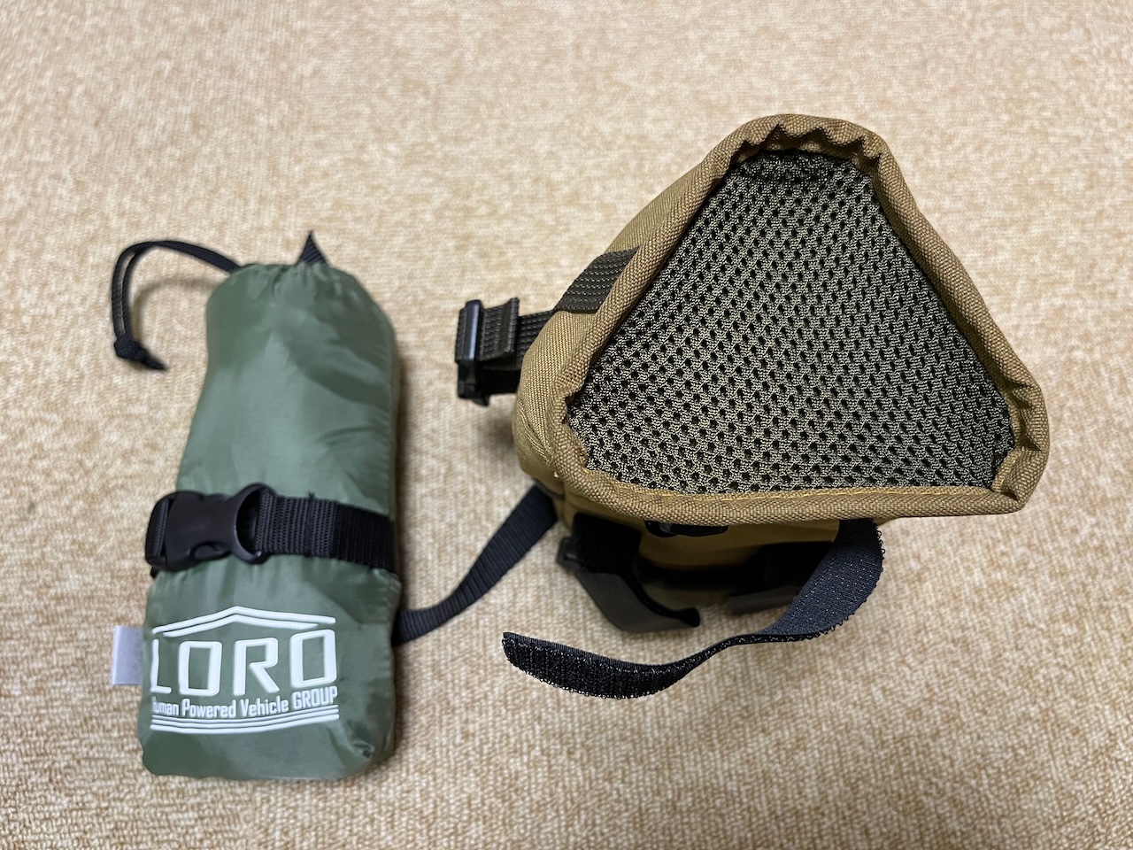
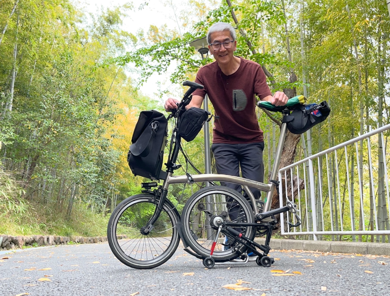
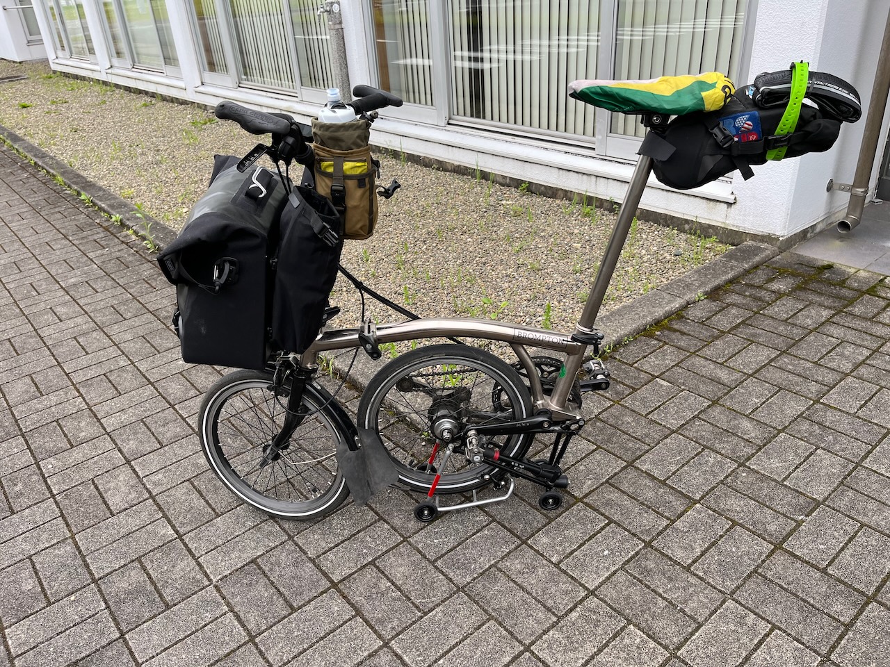
Here is the bike all loaded up, with most of my gear in the O bag, and a pair of sneakers and some tools in the saddle bag.
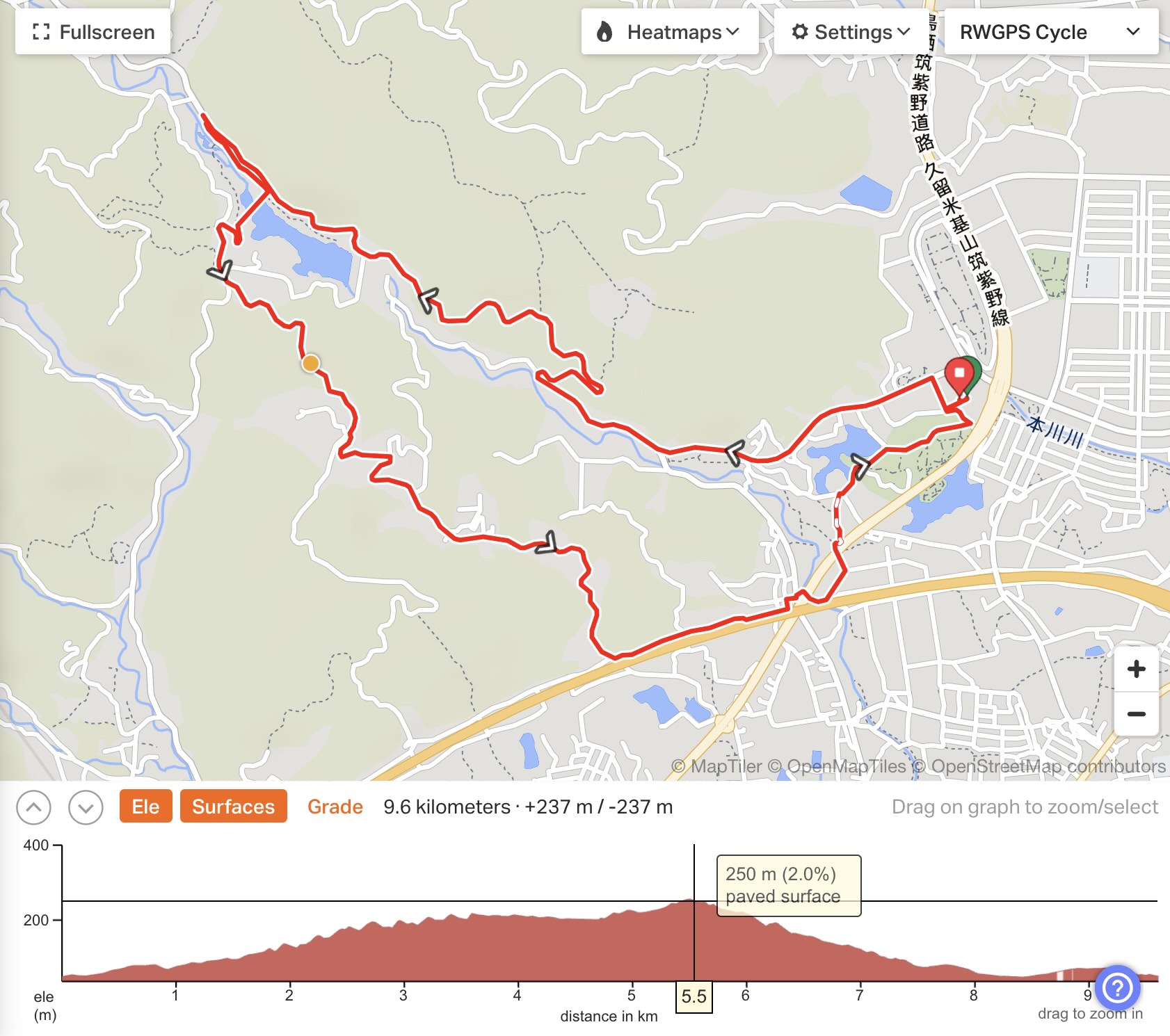
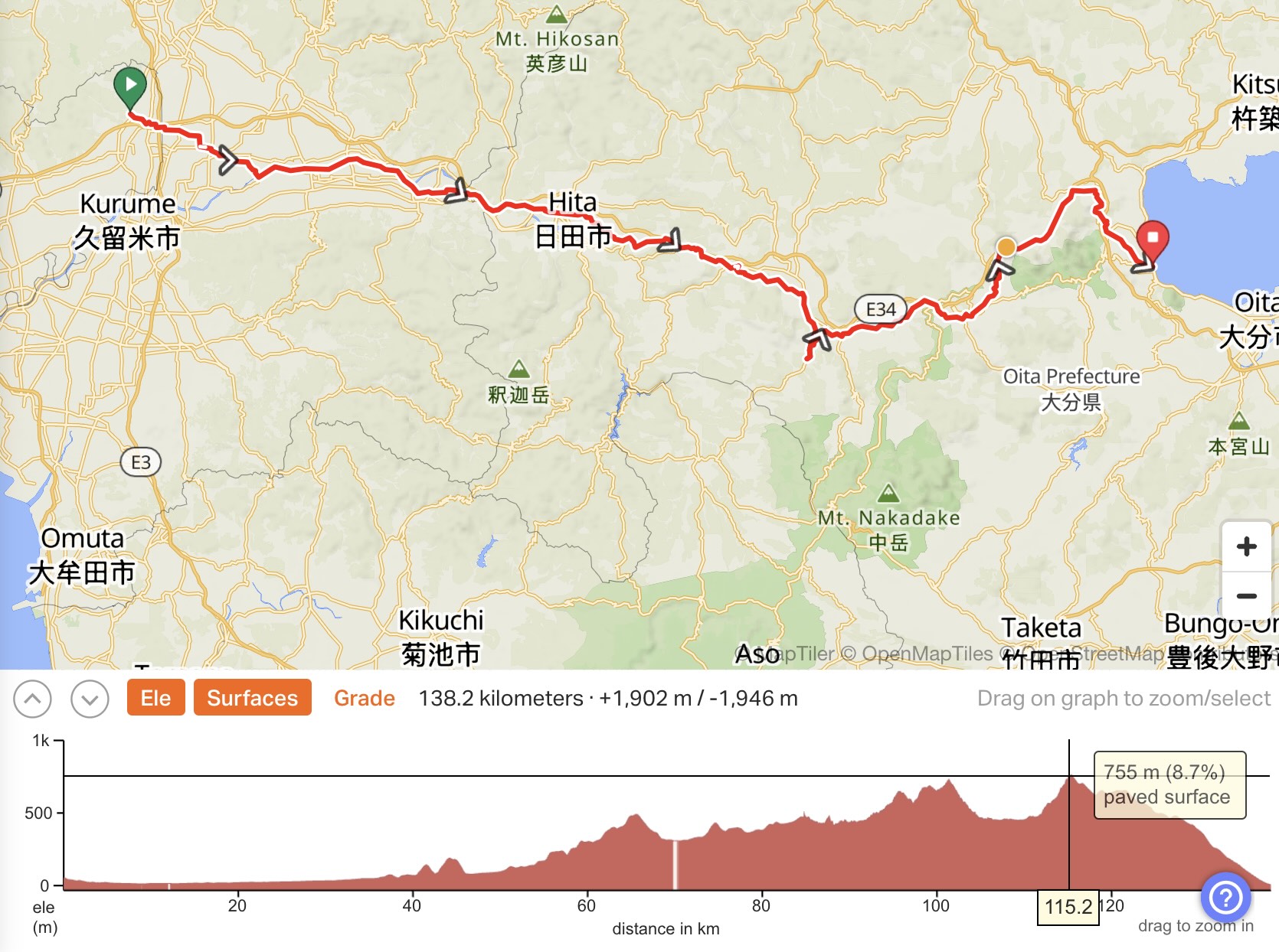
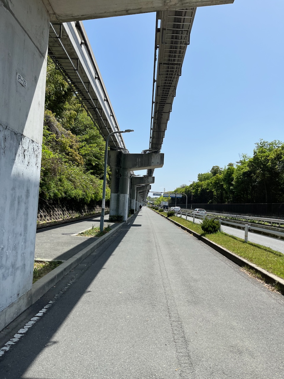
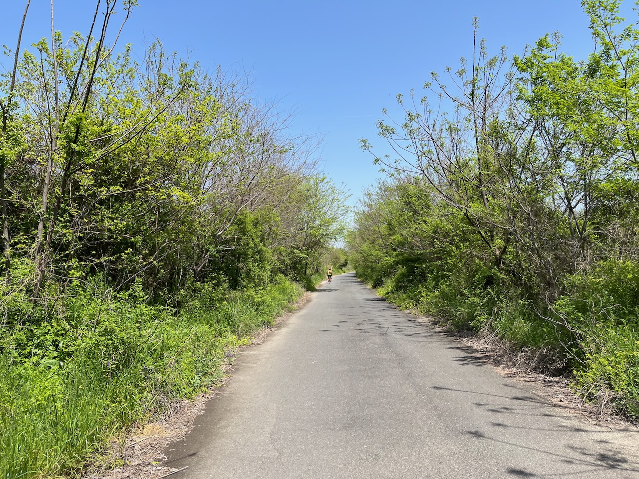
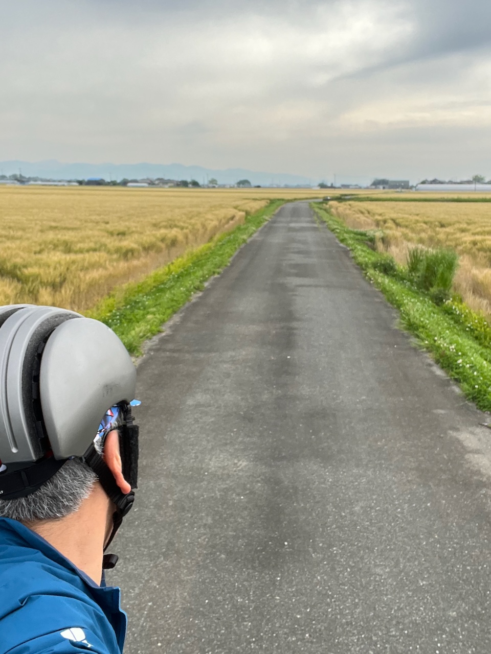
I’ll probably have more to say about routing software at the end of my trip, but the route was laid out by Komoot, and the software seems to go out of its way to avoid busy streets, and often routes me along small paths that criss cross farmers’ fields.
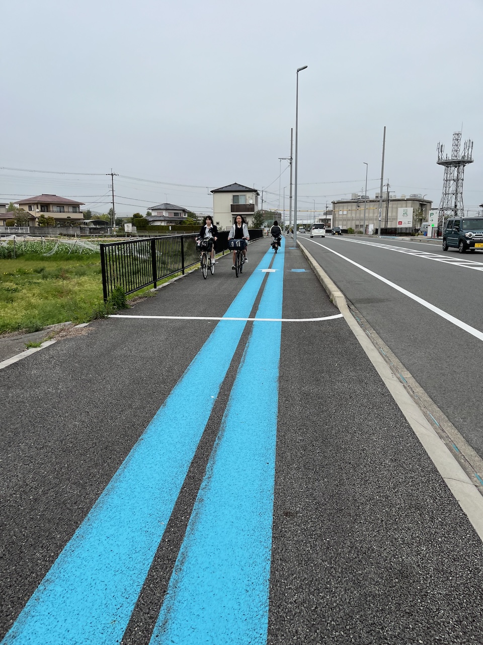
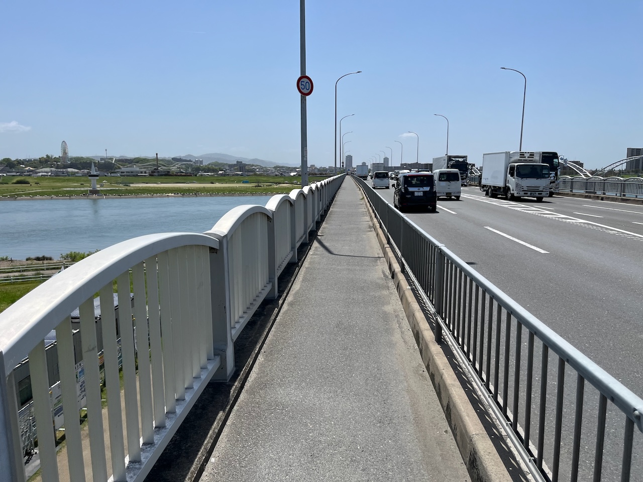
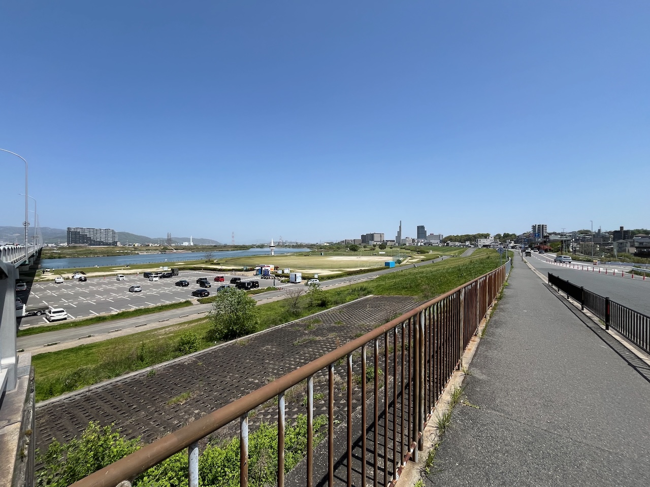
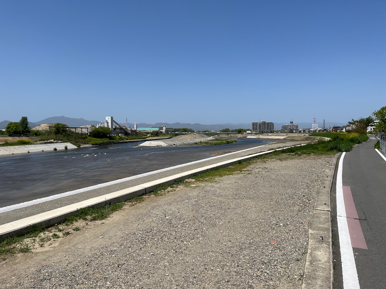
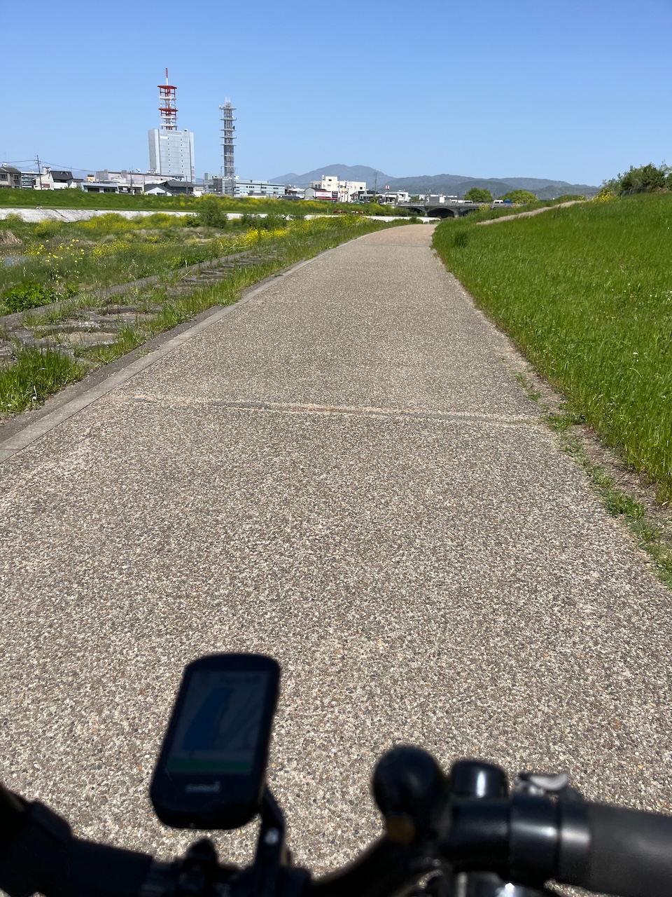
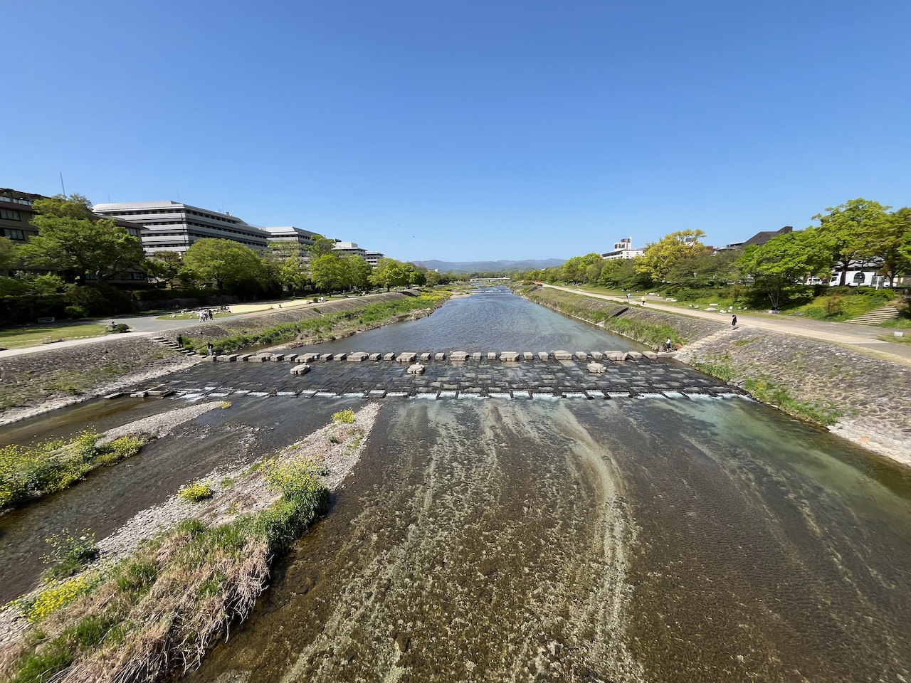
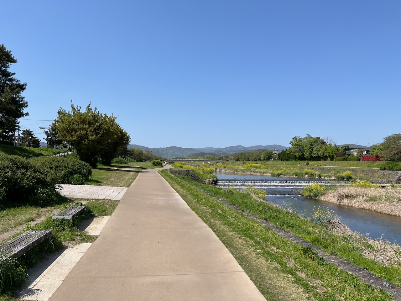
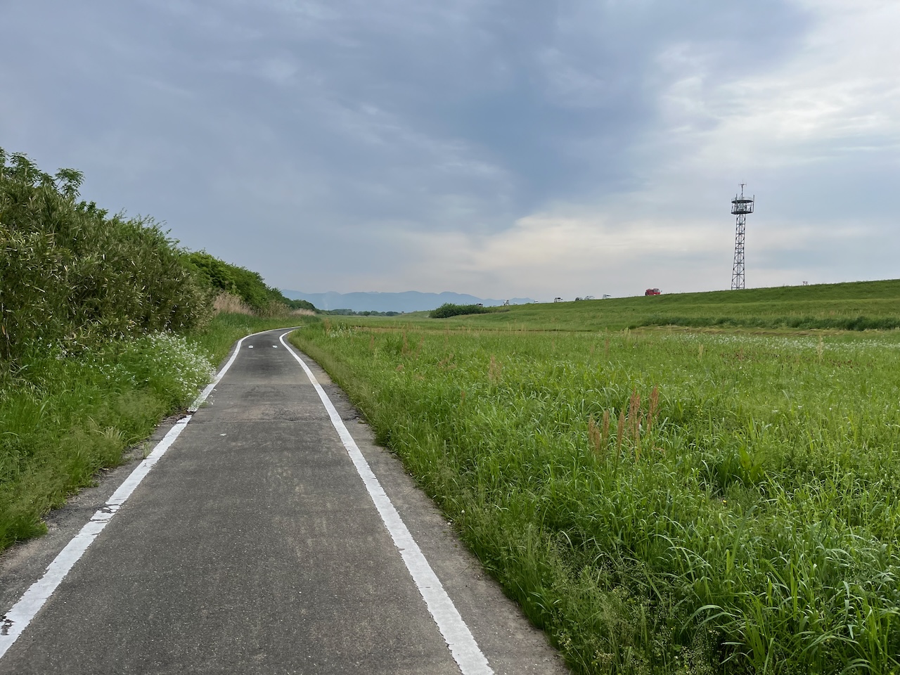
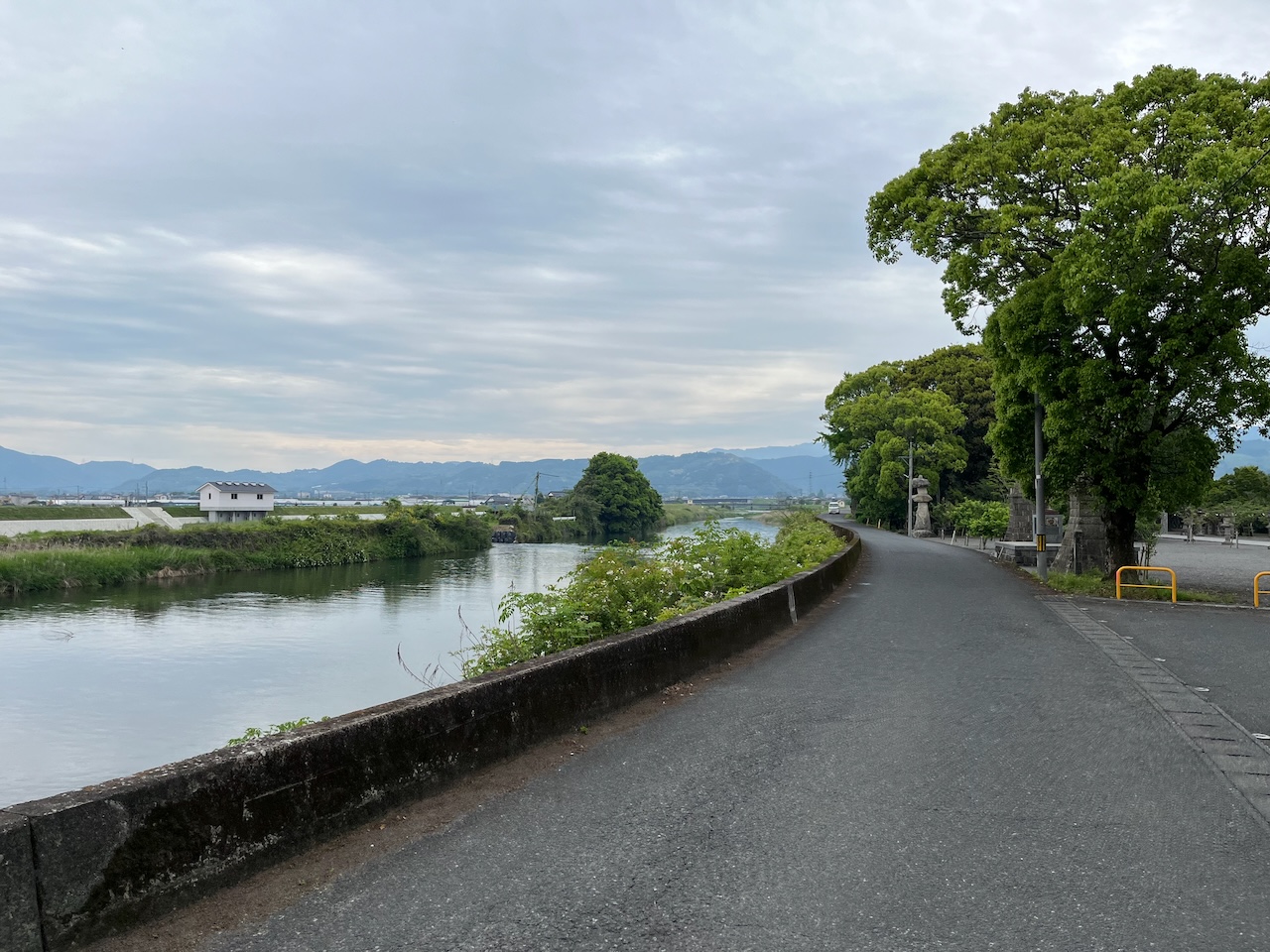
After zigzagging southwest for a while, I reach the Chiguko River, where the route can take advantage of the cycle track by the river bed.
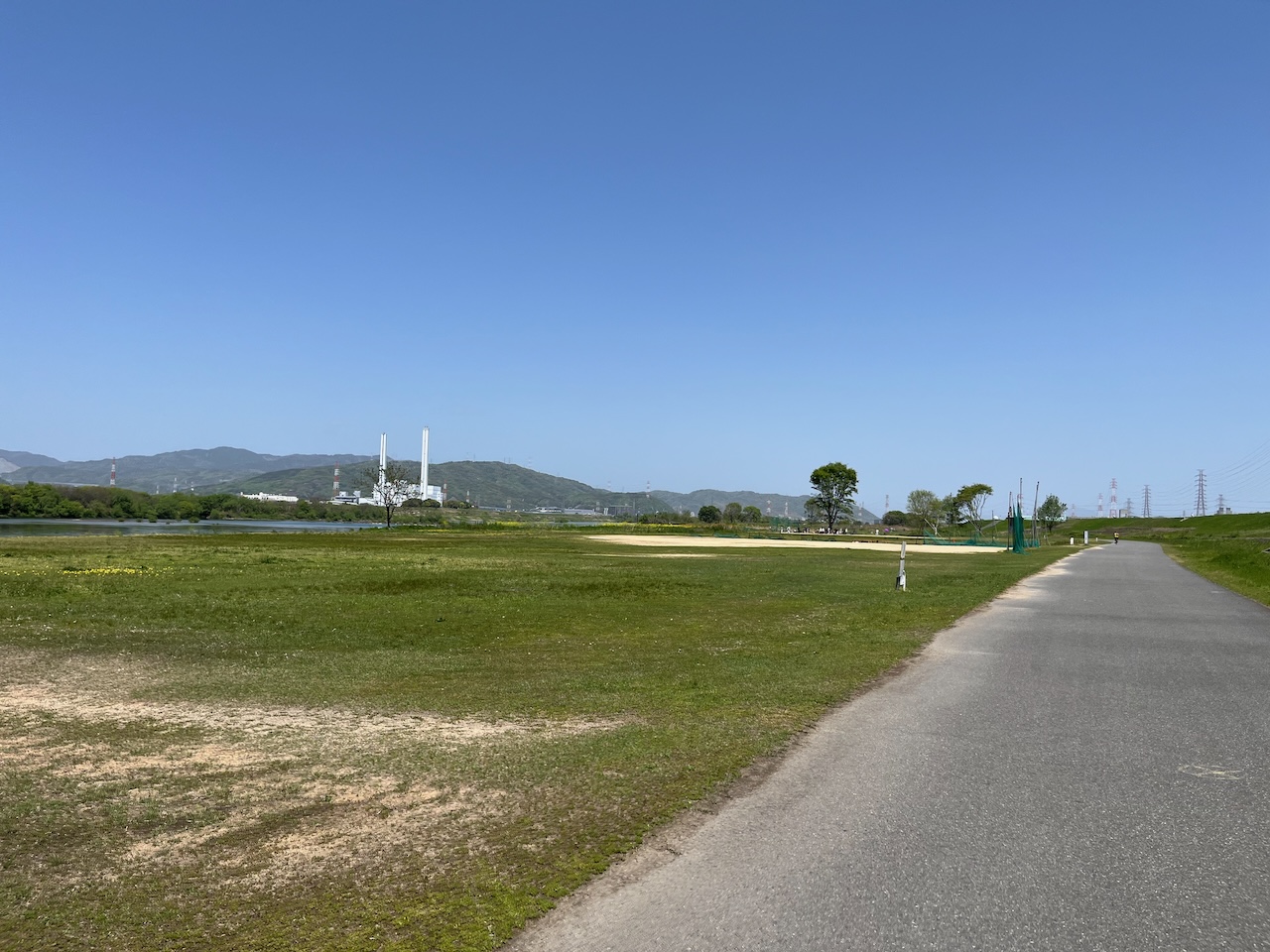
I travelled along the river until about km 33.
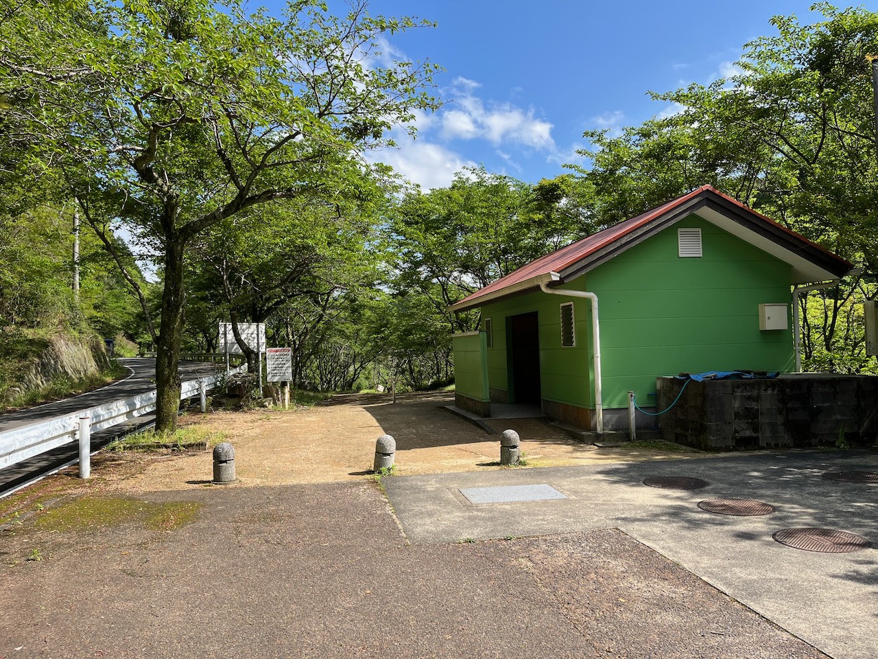
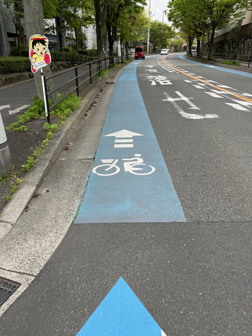
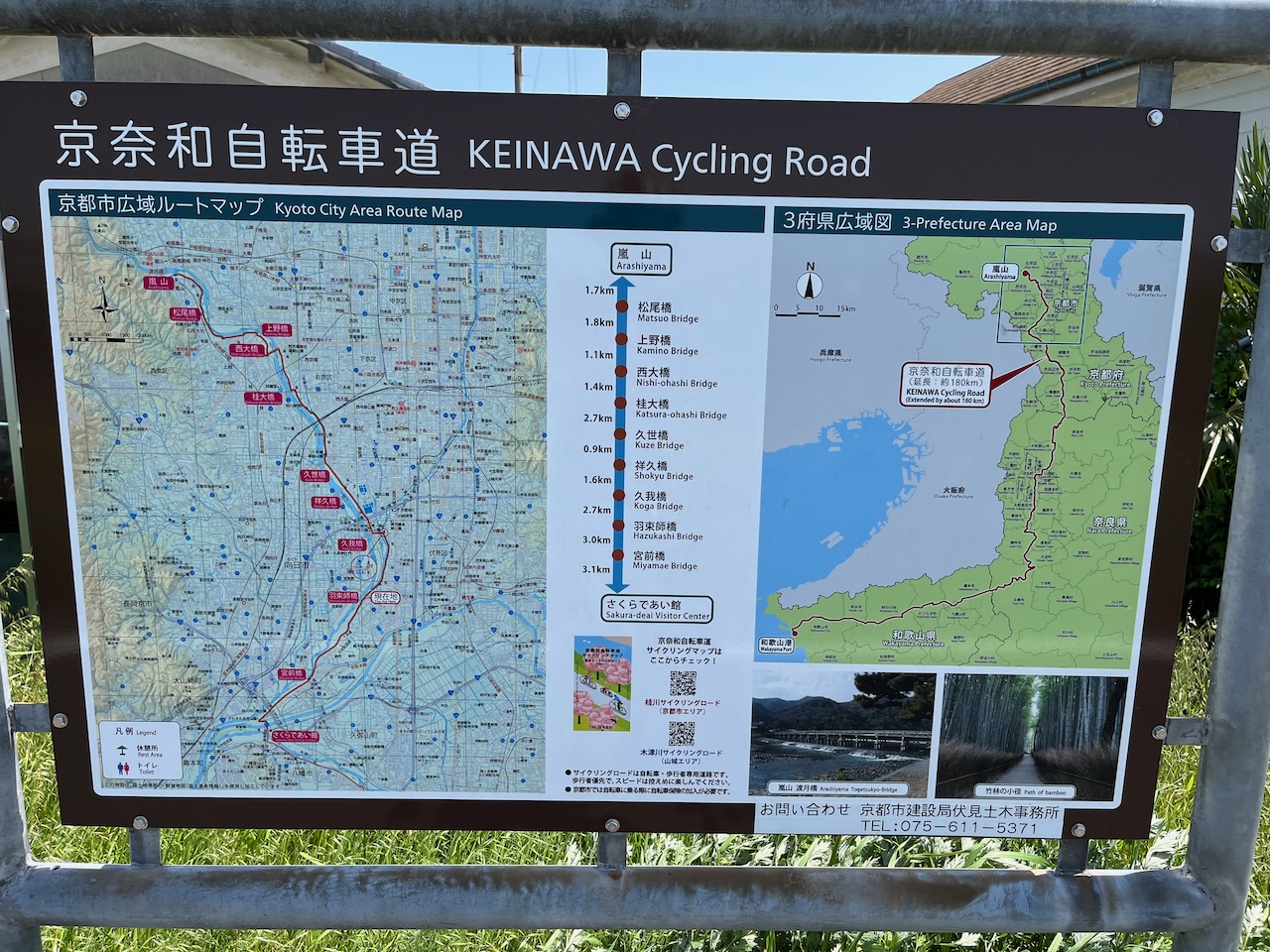
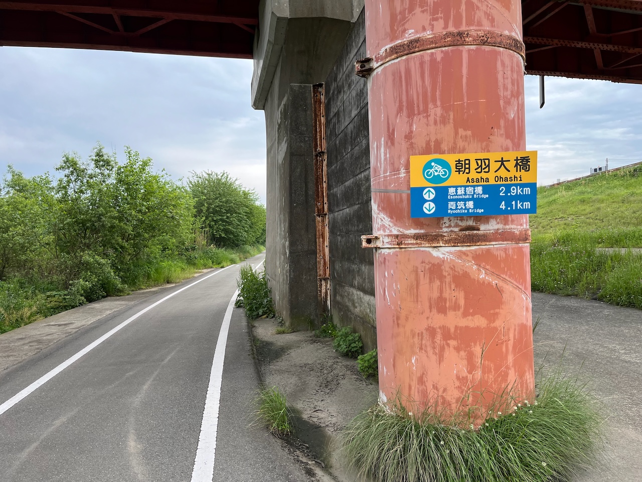
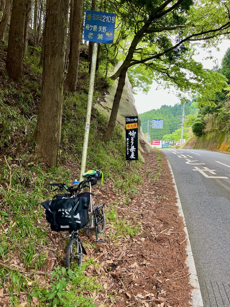
Some wayfinding signs.
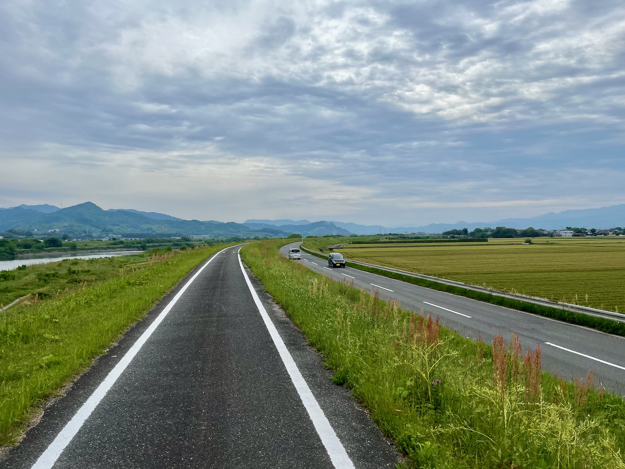
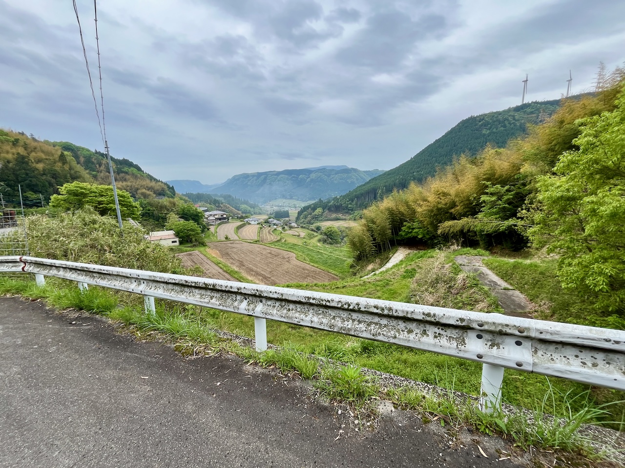
Now on top of the dyke that borders the river. You can start seeing the hills that I’m going to have to cross.
Just past Ukiha, the route turns away from the river and along this tributary.
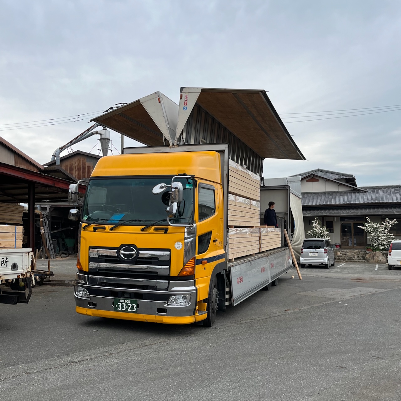
I’m liking the gull wing covers on this transport.
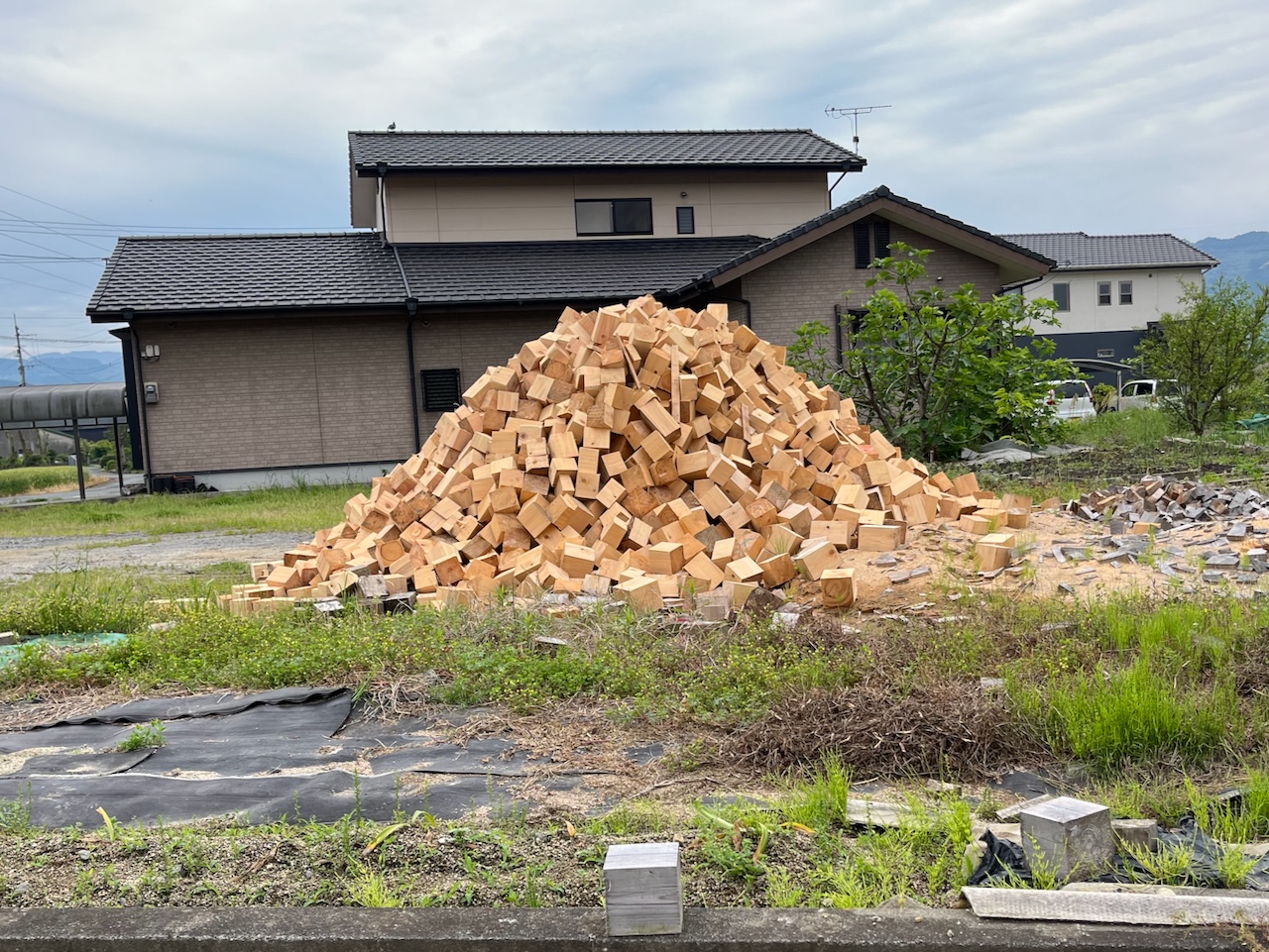
Just past the truck, this pile of freshly cut cedar blocks was very fragrant.
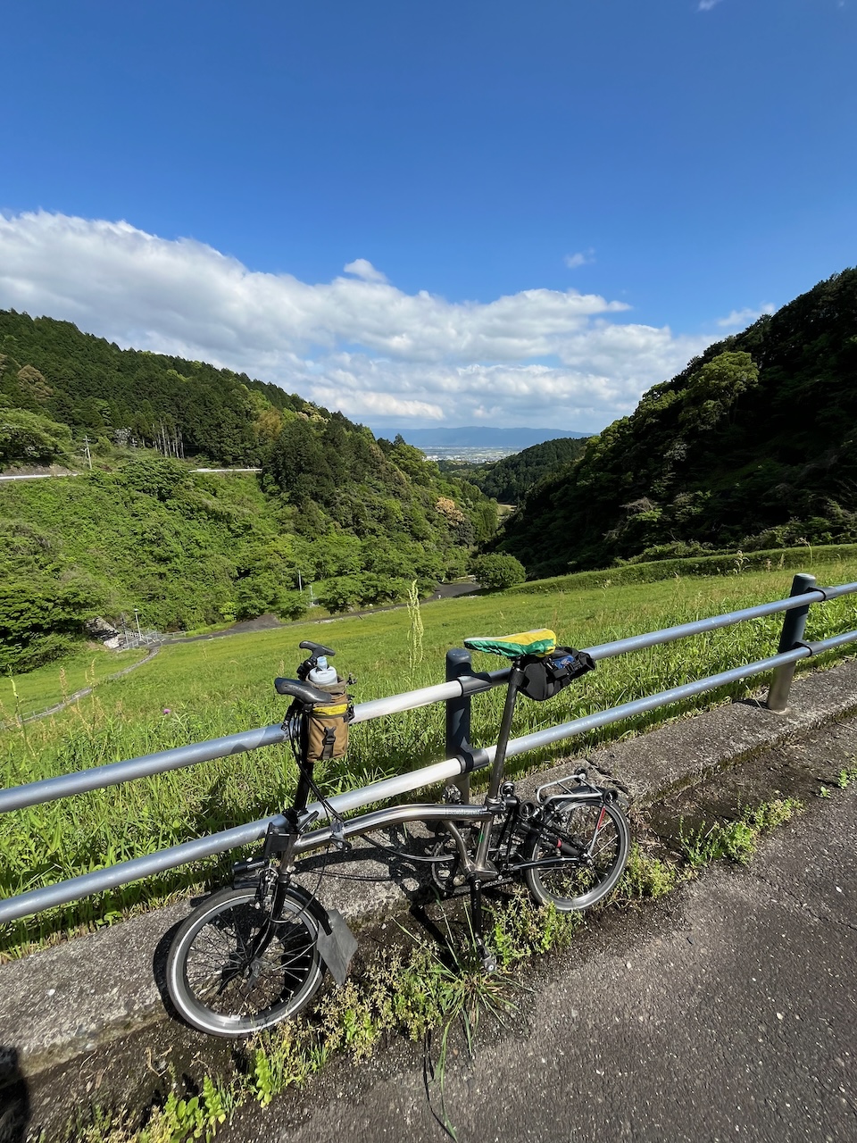
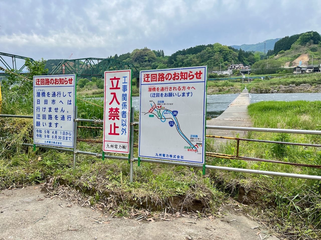
The route had me crossing the river at this dam. The first of several unplanned deviations.
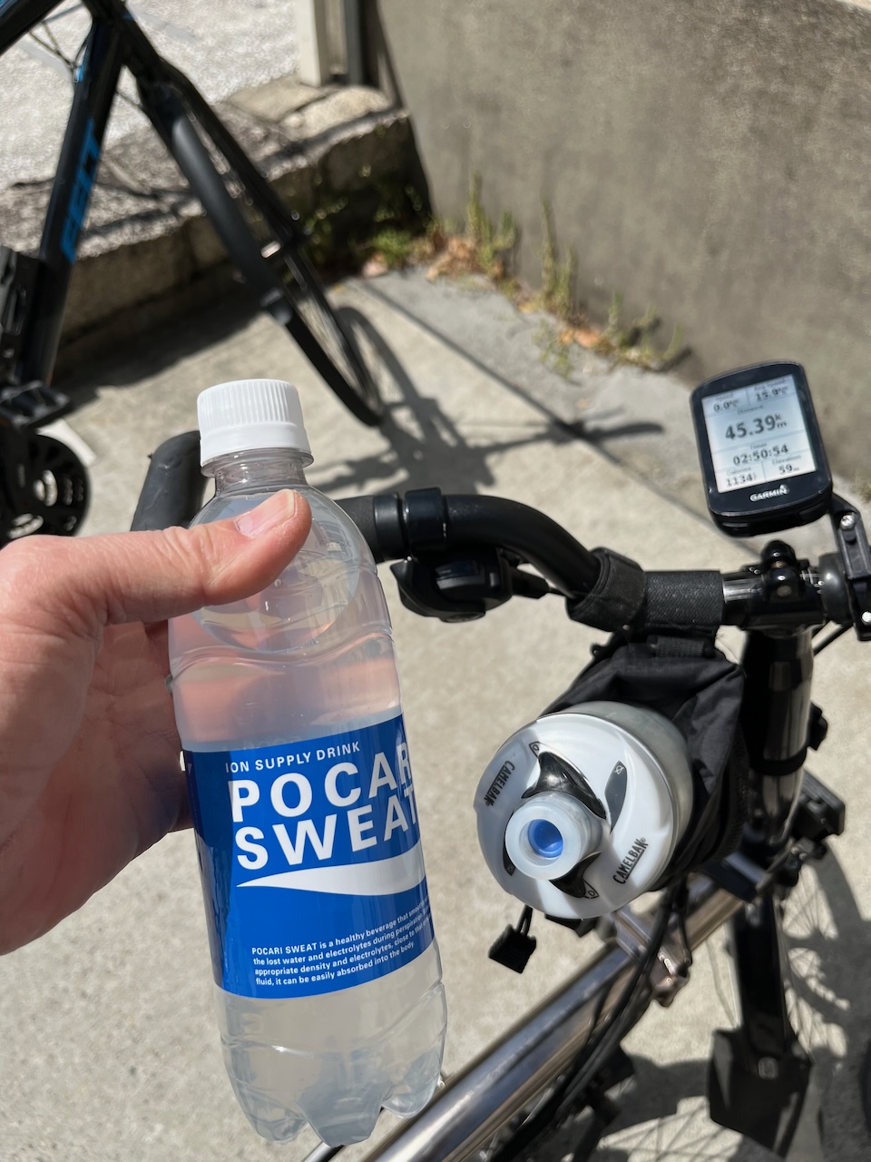
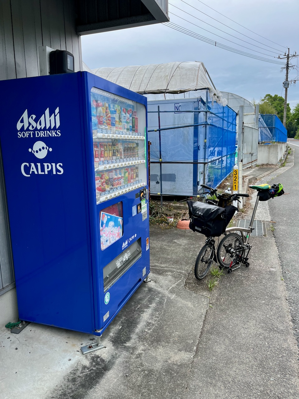
Starting to climb, so it was an opportune time to lose the jacket and to refuel at the vending machine.
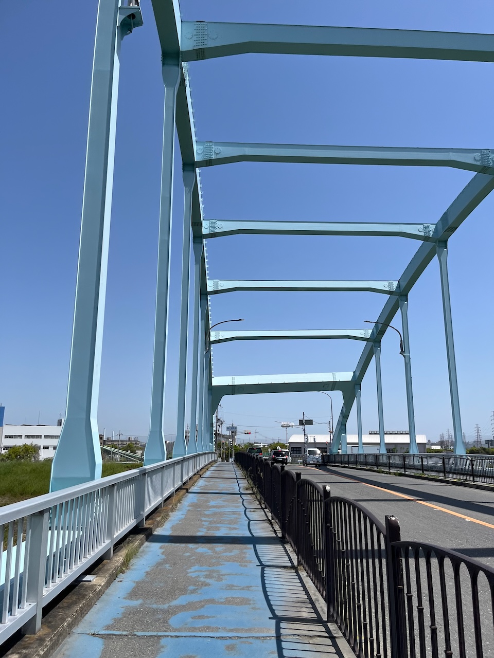
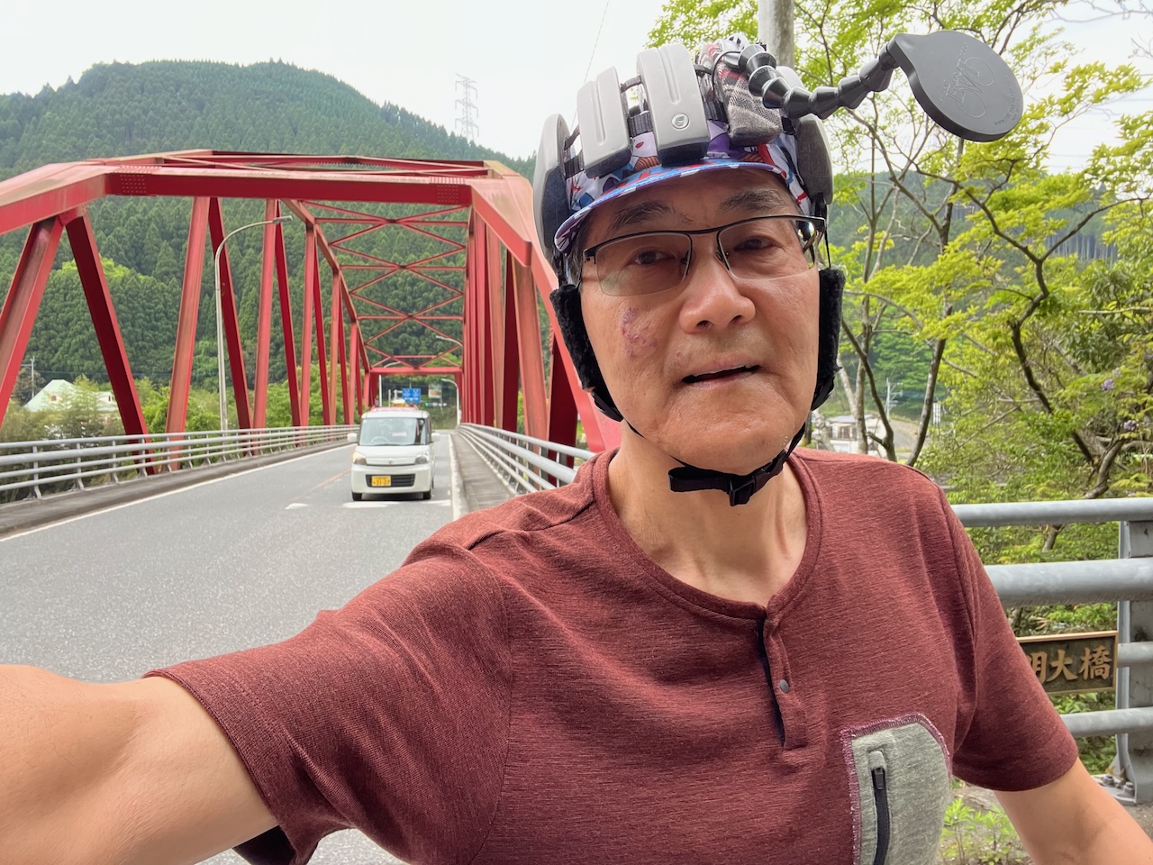
This is the bridge I used to cross the river, a few km past the closed dam.
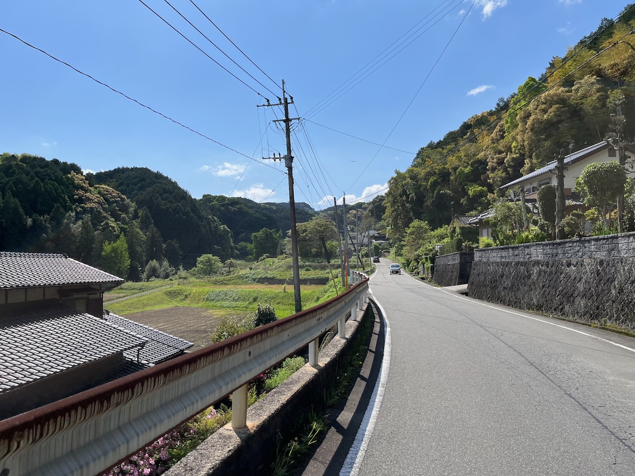
I thought I was being clever by choosing a route by a major highway, but has you can see that was no guarantee of a gradual climb. I was often well below or even above the highway.
Taking a break. The the climb in the picture was a 16% grade, and I had to walk up part of it. My Brompton could have used lower gearing.
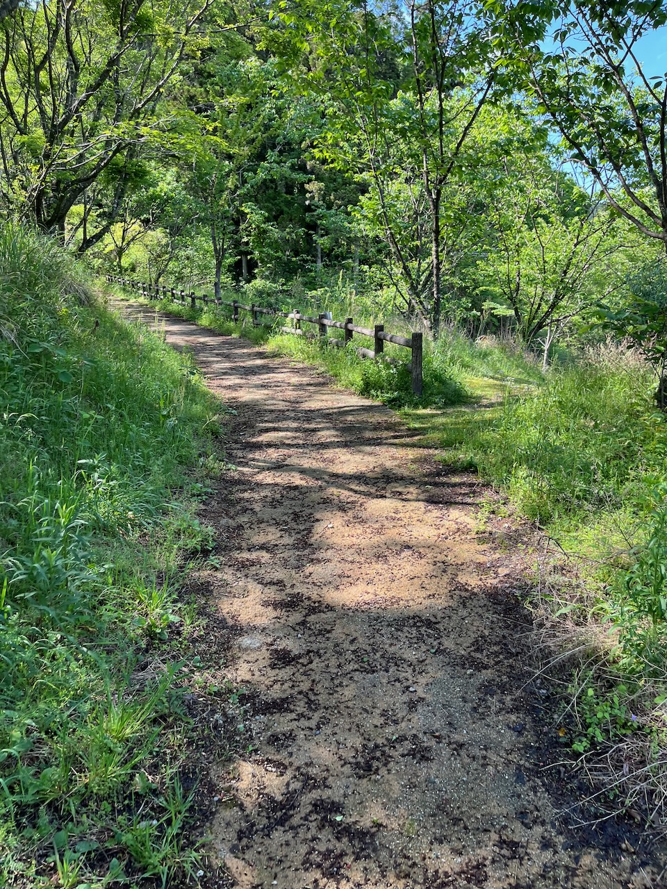
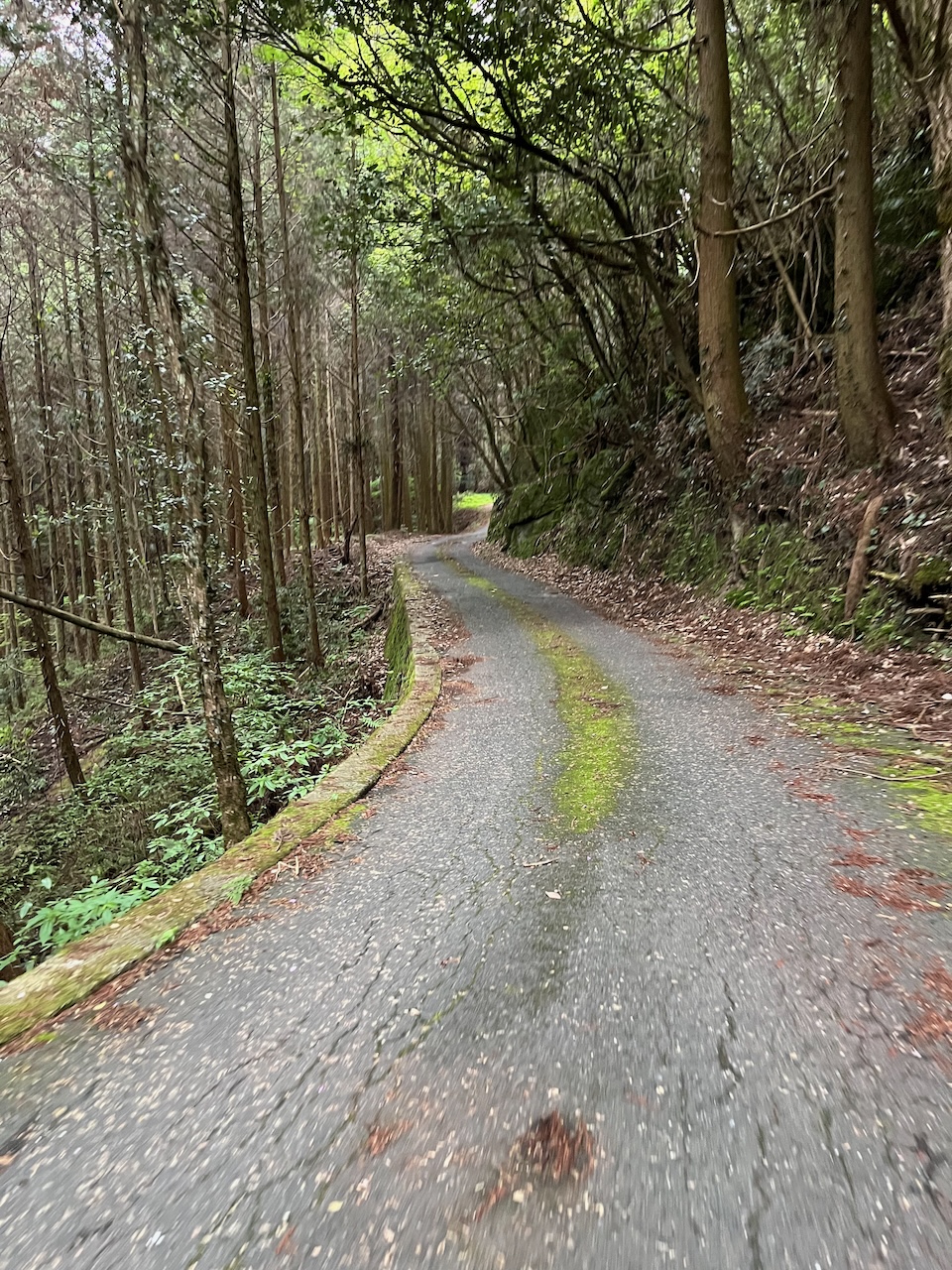
Nice forest road with that middle of nowhere feeling.
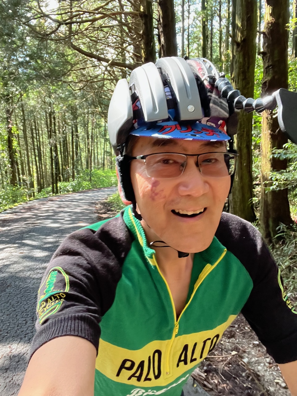
Yes, I’ve done some climbing.
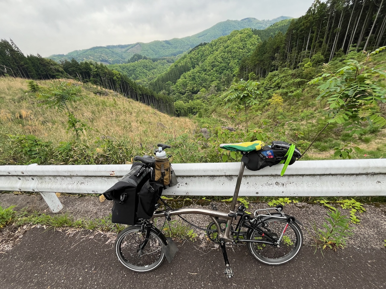
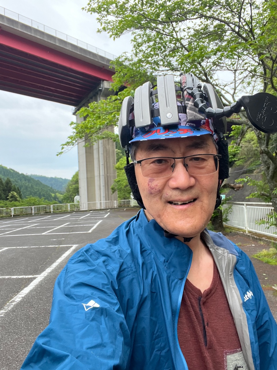
Getting close to the highest point for the day.
The actual highest point, at about 490 meters (I started at about 20 m).
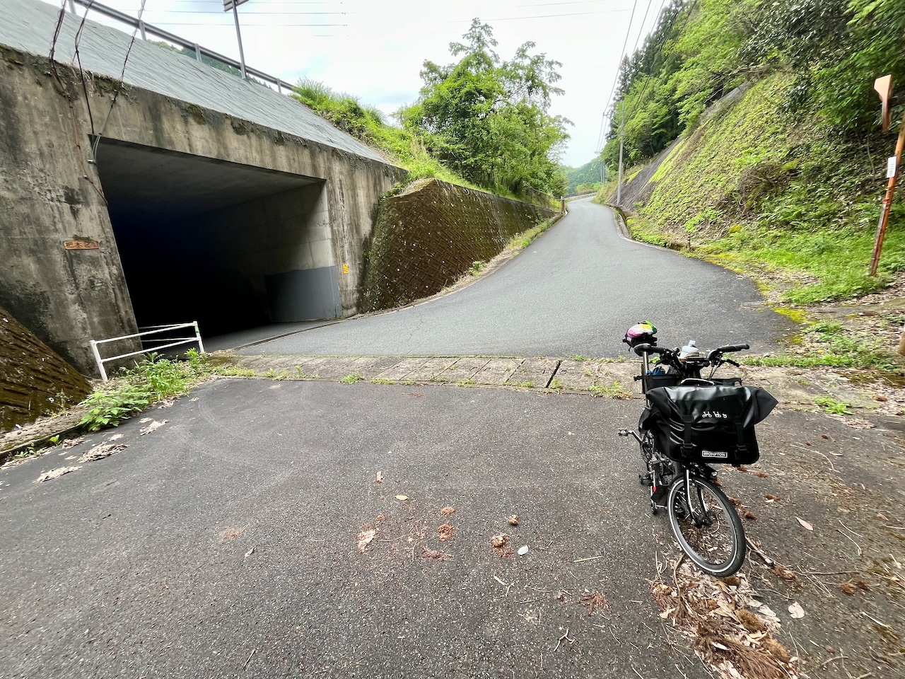
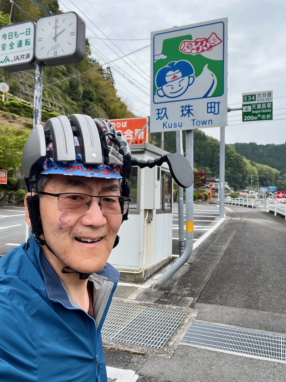
Now descending into Kusu.
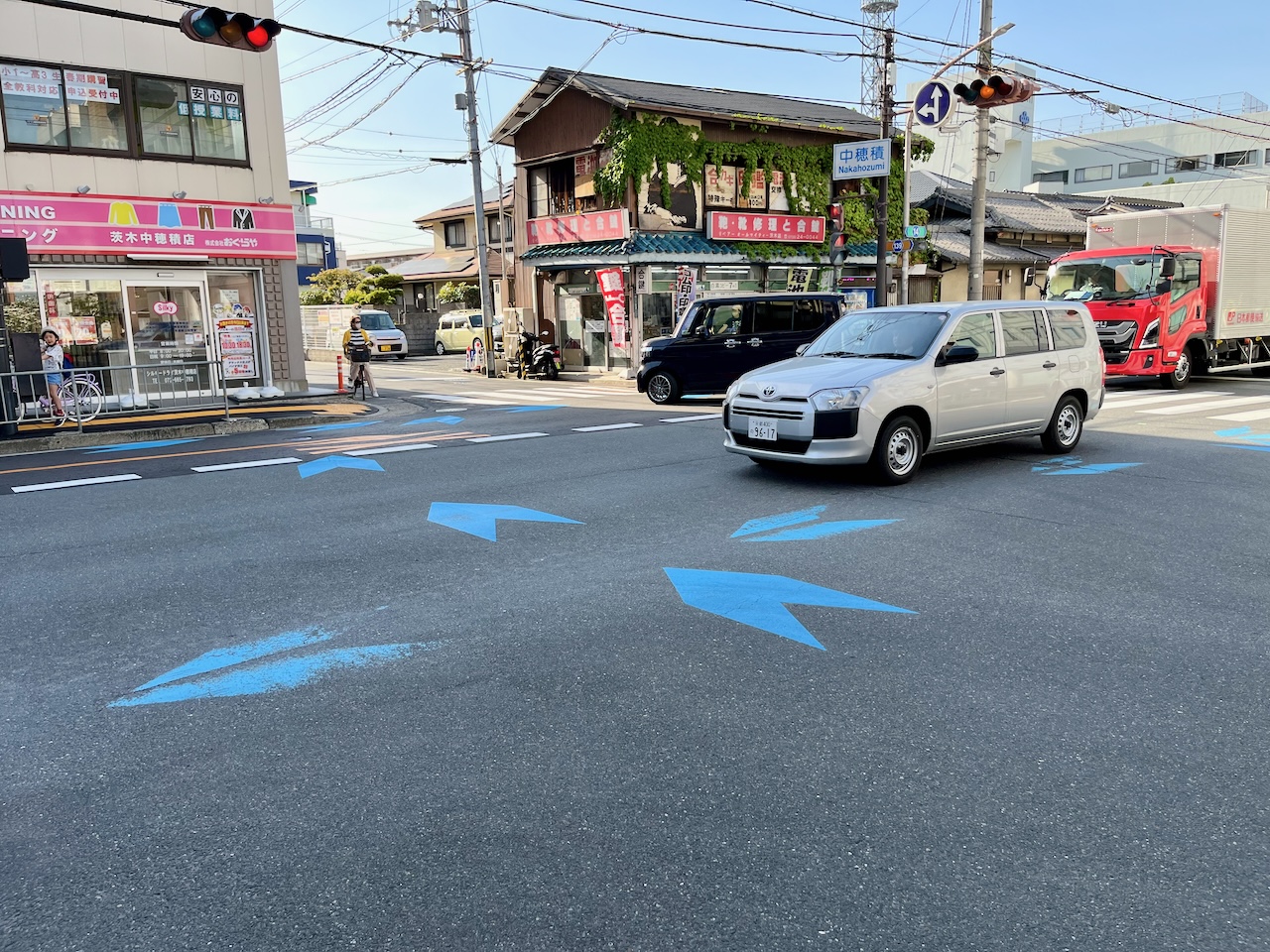
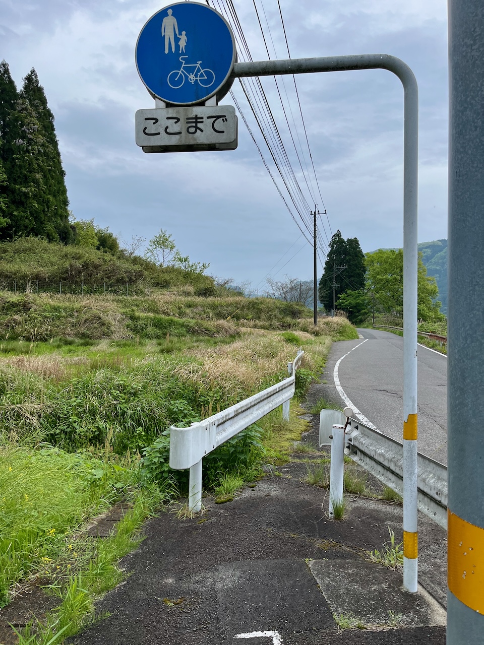
Surprised to see a bike lane pretty far from town.
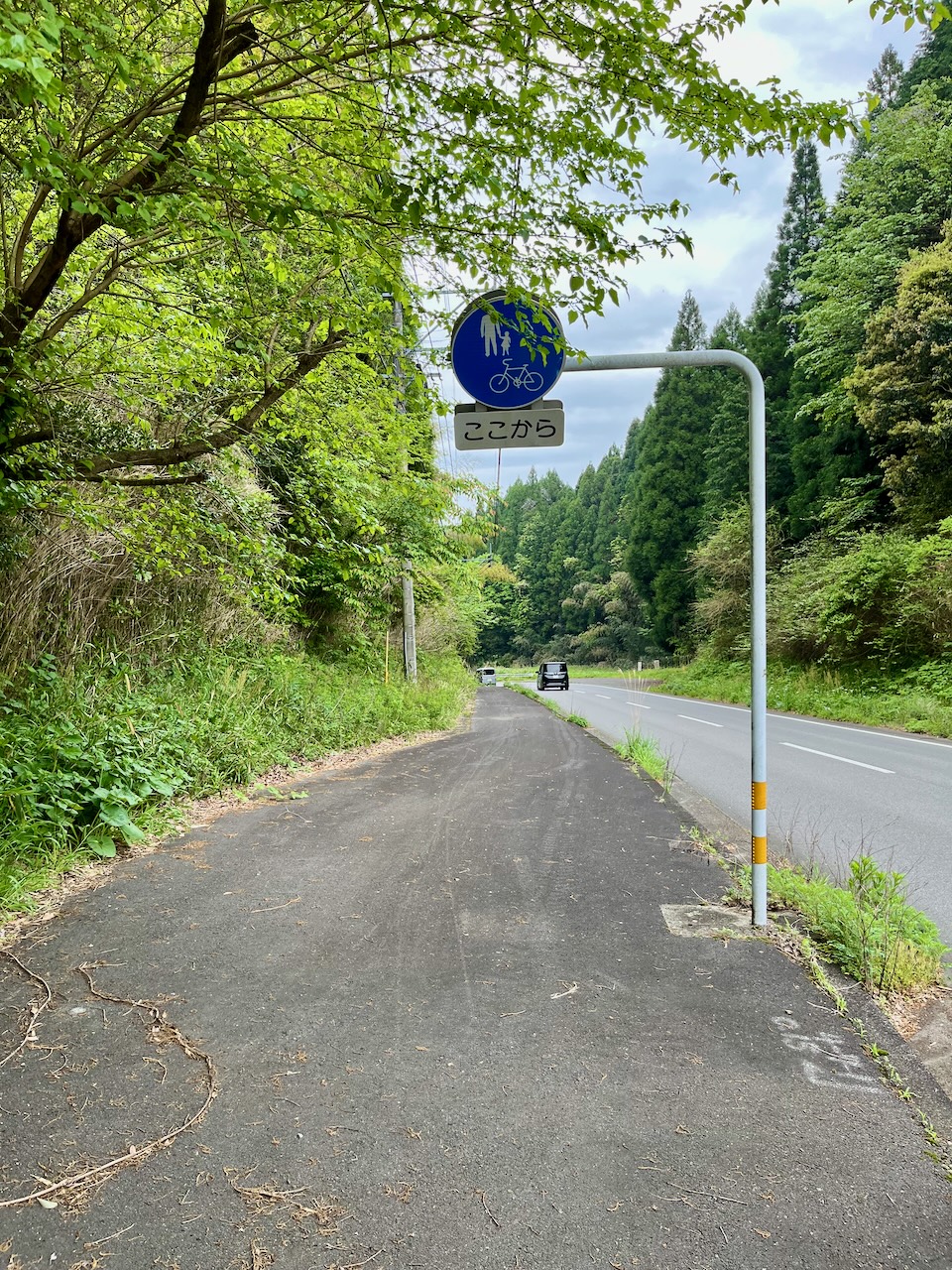
But it ends after a kilometer or two, well short of town.
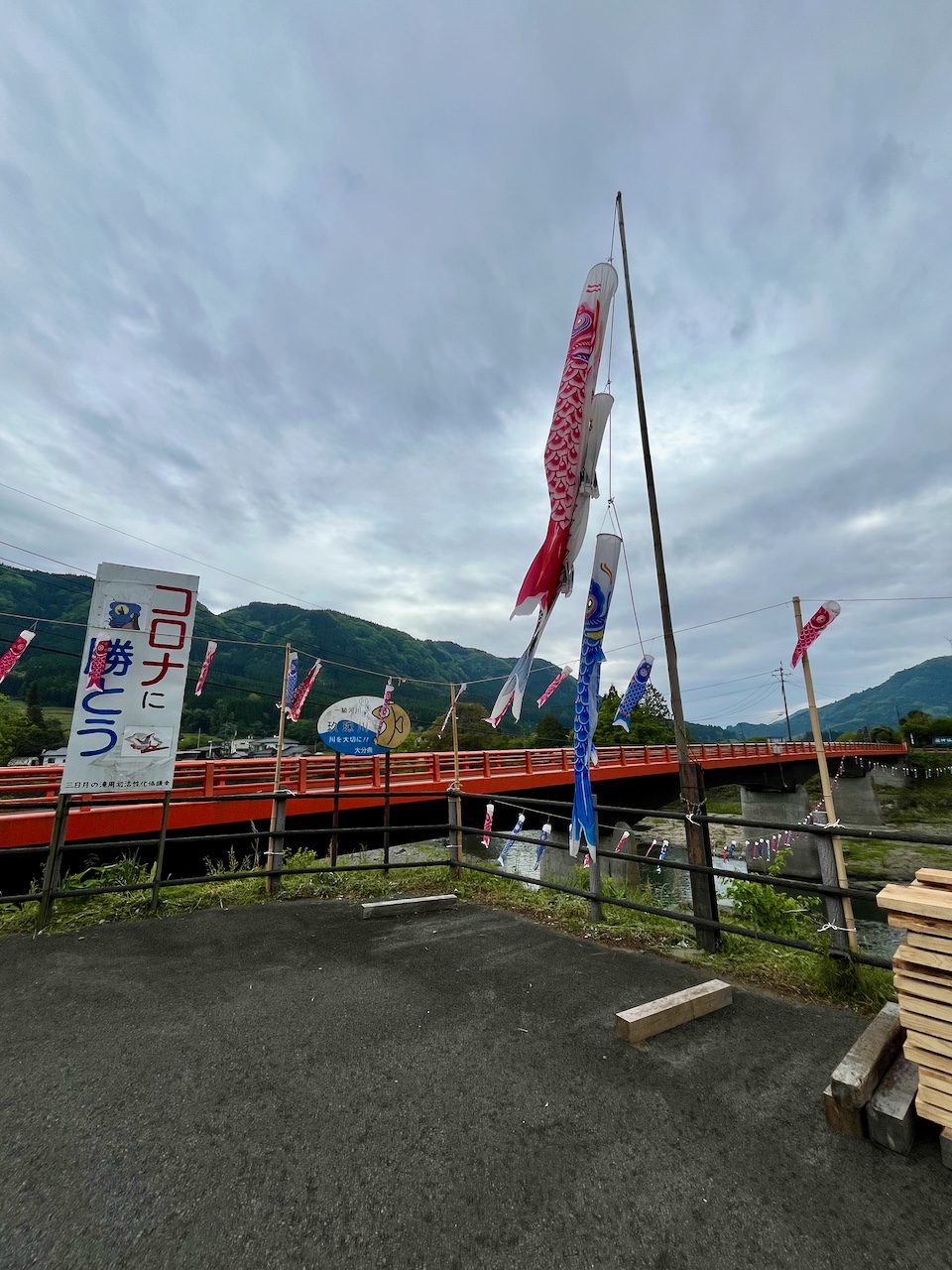
Not sure of the significance of this display of koinobori, but the sign says ‘let’s win against COVID”.
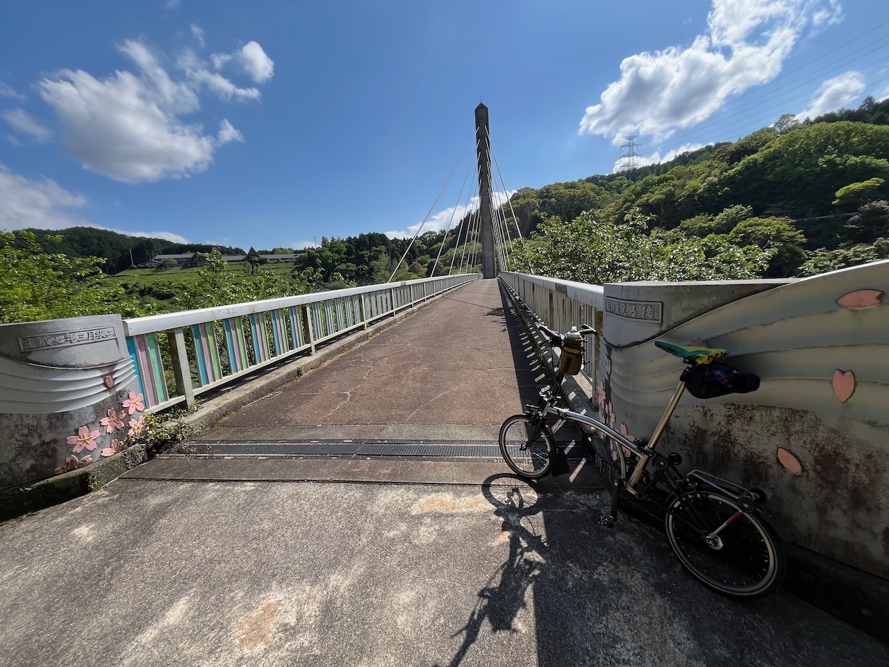
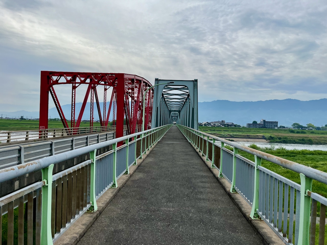
The prettiest bridge for the day.
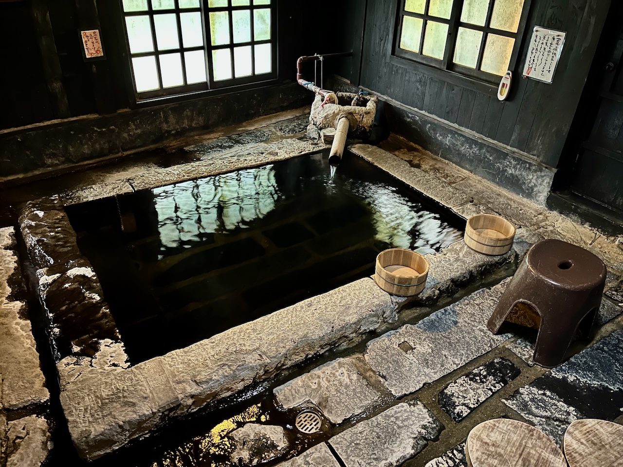
Kusu is a really small town with few places that you can book over the internet. Given the limited choices, I decided to treat myself to a ryokan with a hot spring: Fukumotoya. It entailed an extra climb out of town.
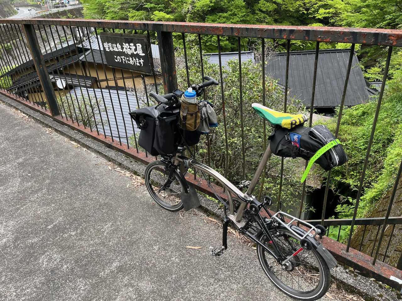
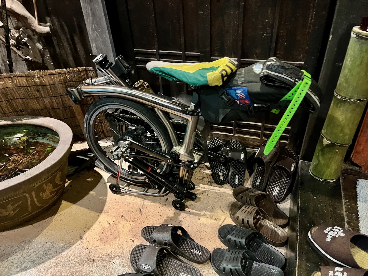
The hosts were kind enough to let me stash the brompton in the foyer.
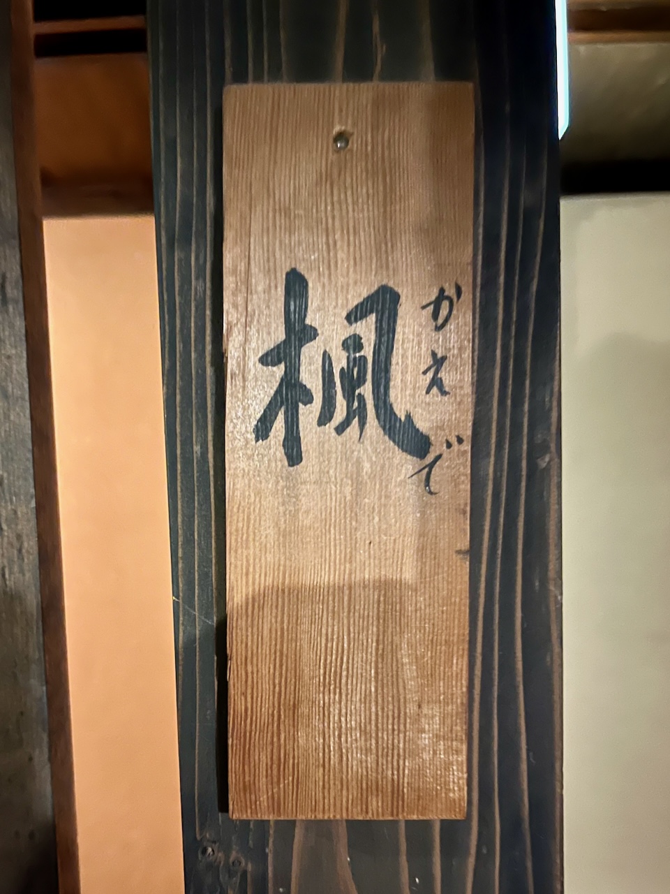
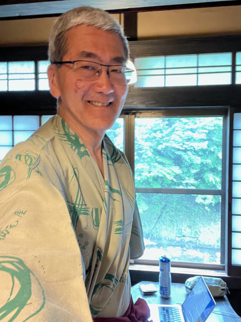
I got the “kaede” room, which means maple. Perfect for a Canadian.

Ready for a hot bath after a long day on the bike.
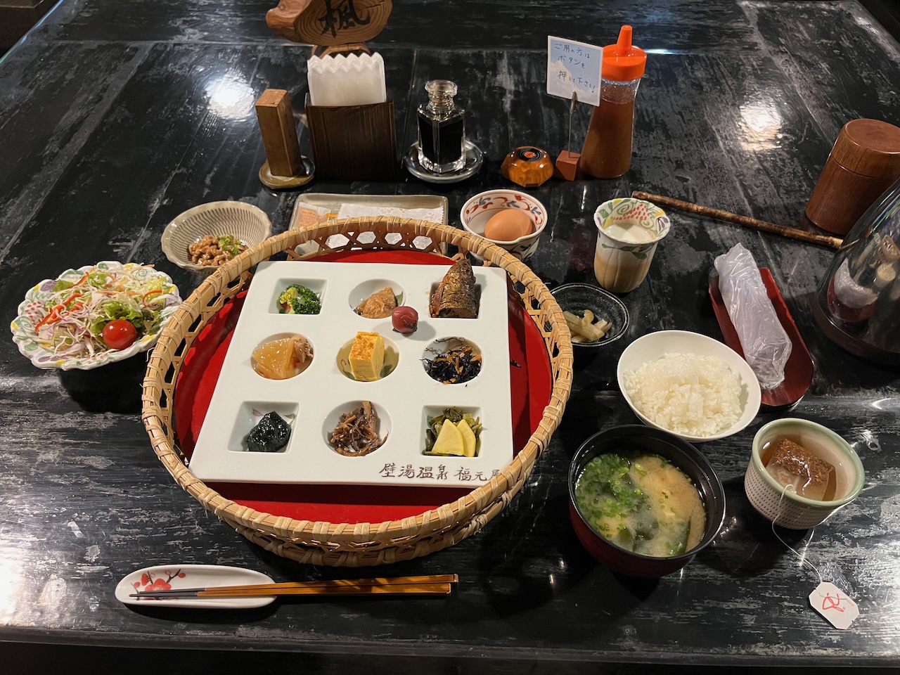
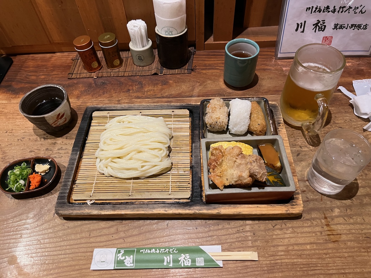
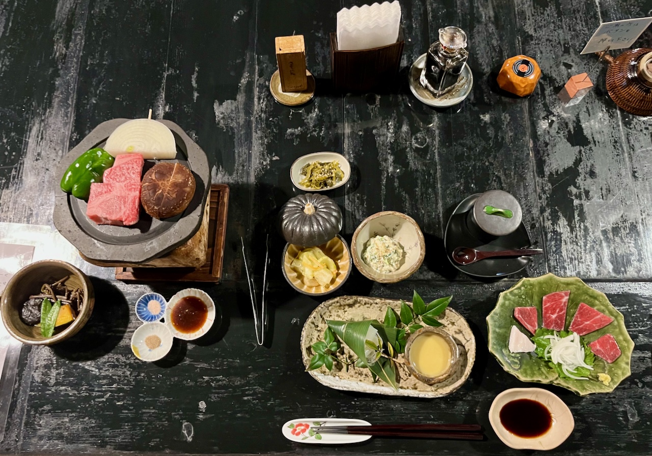
Food was also excellent, with many local ingredients. My Japanese is fragmentary, so I really didn’t know what I was eating for some of the dishes.
Tomorrow, a shorter day with more climbing, and then a long descent into Beppu.
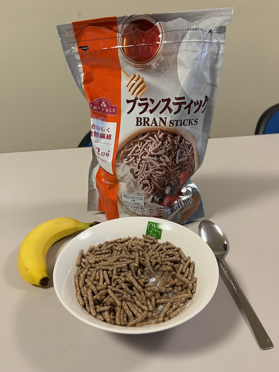
postscript: Breakfast