There is a rail trail from Brantford to Port Dover that I have always wanted to explore. Today I finally bit the bullet and drove down to Brantford. In truth, there is a rail trail from Dundas to Brantford as well, but given the constraints of time and my level of fitness, I thought that the 100 km round trip from Brantford to Port Dover would be perfect.
The question is where in Brantford to start. Using Google Maps, I found a place labeled as a trailhead, and so I decided to park at the Lions Arena which was a few blocks from the alleged trailhead. As it turns out, it was not the ideal starting point, as I will point out later in this post.
Here is the rather non descript trailhead at the end of Graham Avenue.

After a short section of trail that paralleled Veterans Memorial Parkway (basically a sidewalk) I see the first sign that I’m on the right track.

After a section of paved track through the outskirts of town, the trail turned to a well groomed gravel trail.

Once I reach Burtch Rd, I realize that I’ve been on the LE&N trail,

Photo below looking back to the north.

and that at this point it is parallel and in close proximity to the TH&B trail, and so I switch over to the TH&B trail, which is paved. (photo looking south)
At about 15 km, I see that the trail reverts to gravel. This is the point there I’m crossing into Norfolk County.


This section of trail through Norfolk County changes names several times, which reflects the fact that the trail is maintained by local municipalities. This section just south of the county line is called the Waterford Heritage Trail.
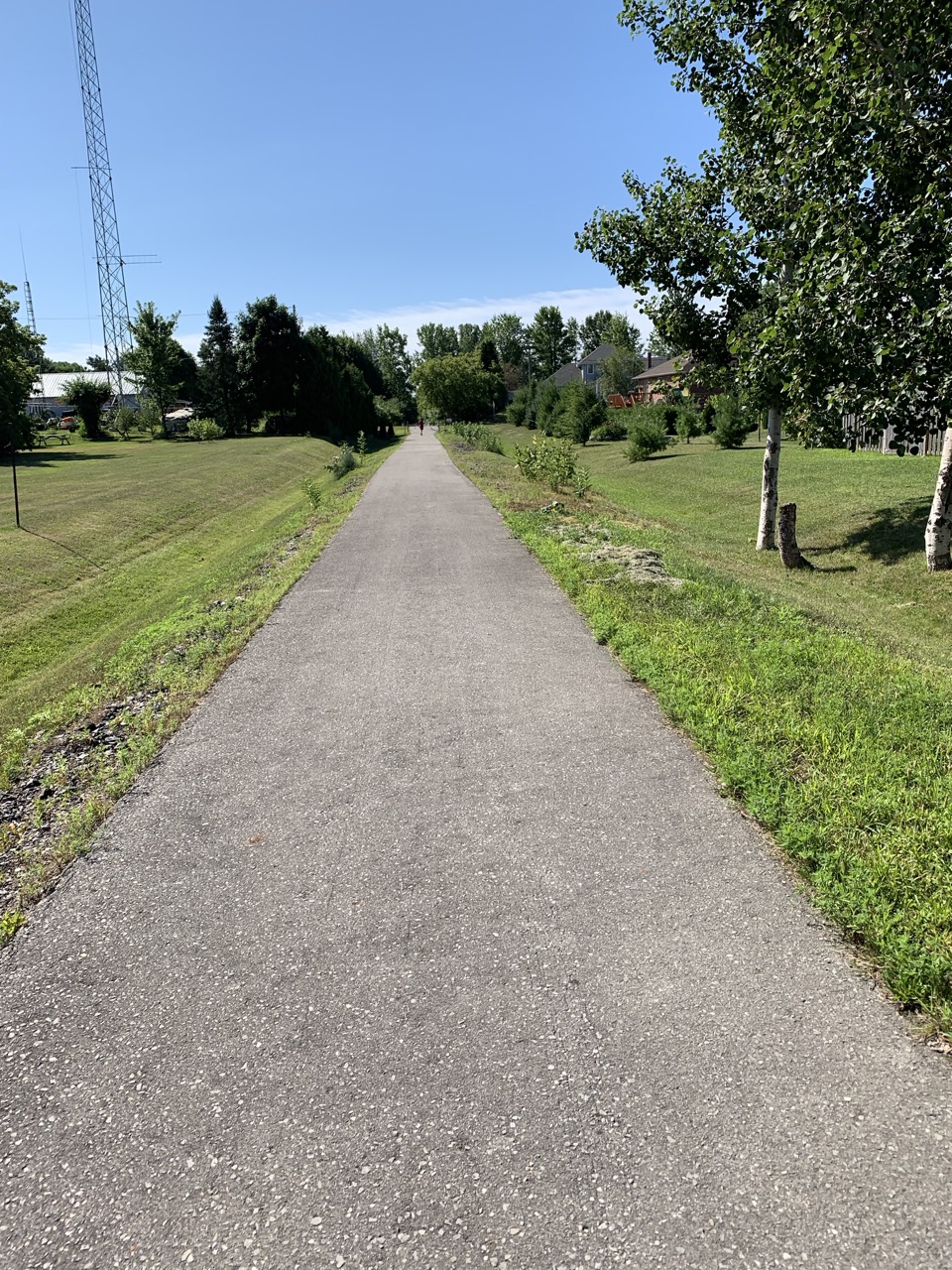
The trail is still very well groomed. This is a typical section of about the worst you will see.

As I approach the town of Waterford, there is a section of asphalt again.
There have been many signs indicating the distance to the Waterford Black Bridge, which marks about the halfway point to Port Dover.

Nice views of the Waterford Ponds from the bridge.

South of Waterford, the name of the trail becomes the Norfolk Sunrise trail.

The trail becomes paved again as you approach the town of Simcoe. There is a bit of a trick crossing Queensway East. You take the trail down to the right where there is an underpass. There is a Tim’s near this intersection if you are in need of refreshment.

Once past the underpass, you take the trail up to the left.

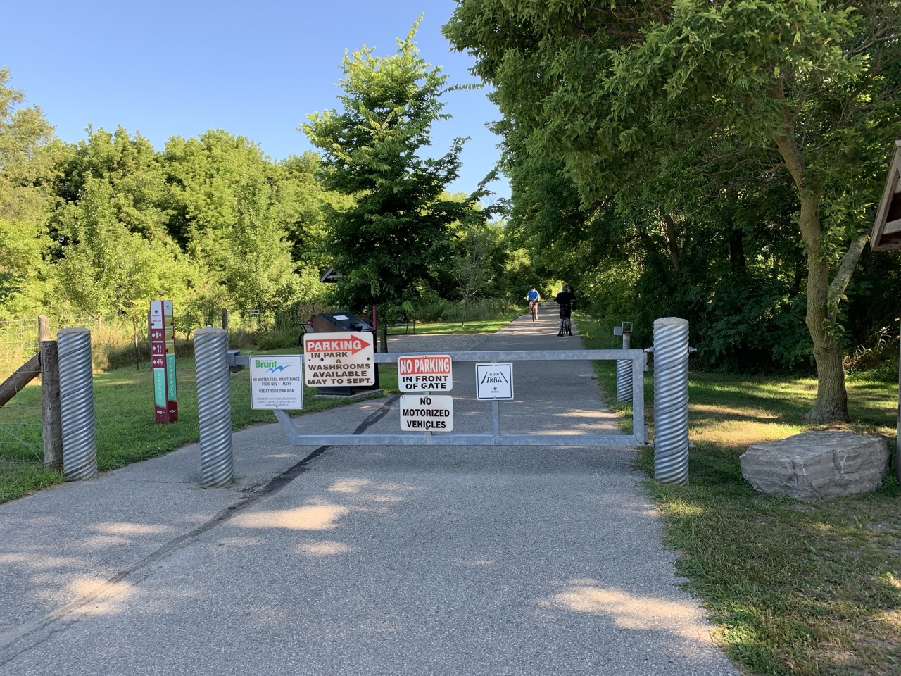
South of Simcoe, you come upon this intersection where you are directed to the left to go to Port Dover.


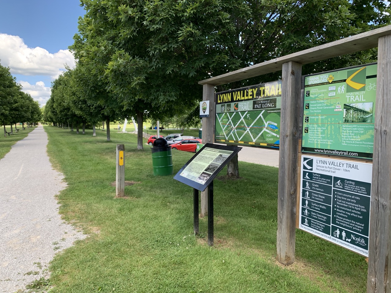
When you cross this road, the trail now becomes the Lynn Valley Trail.

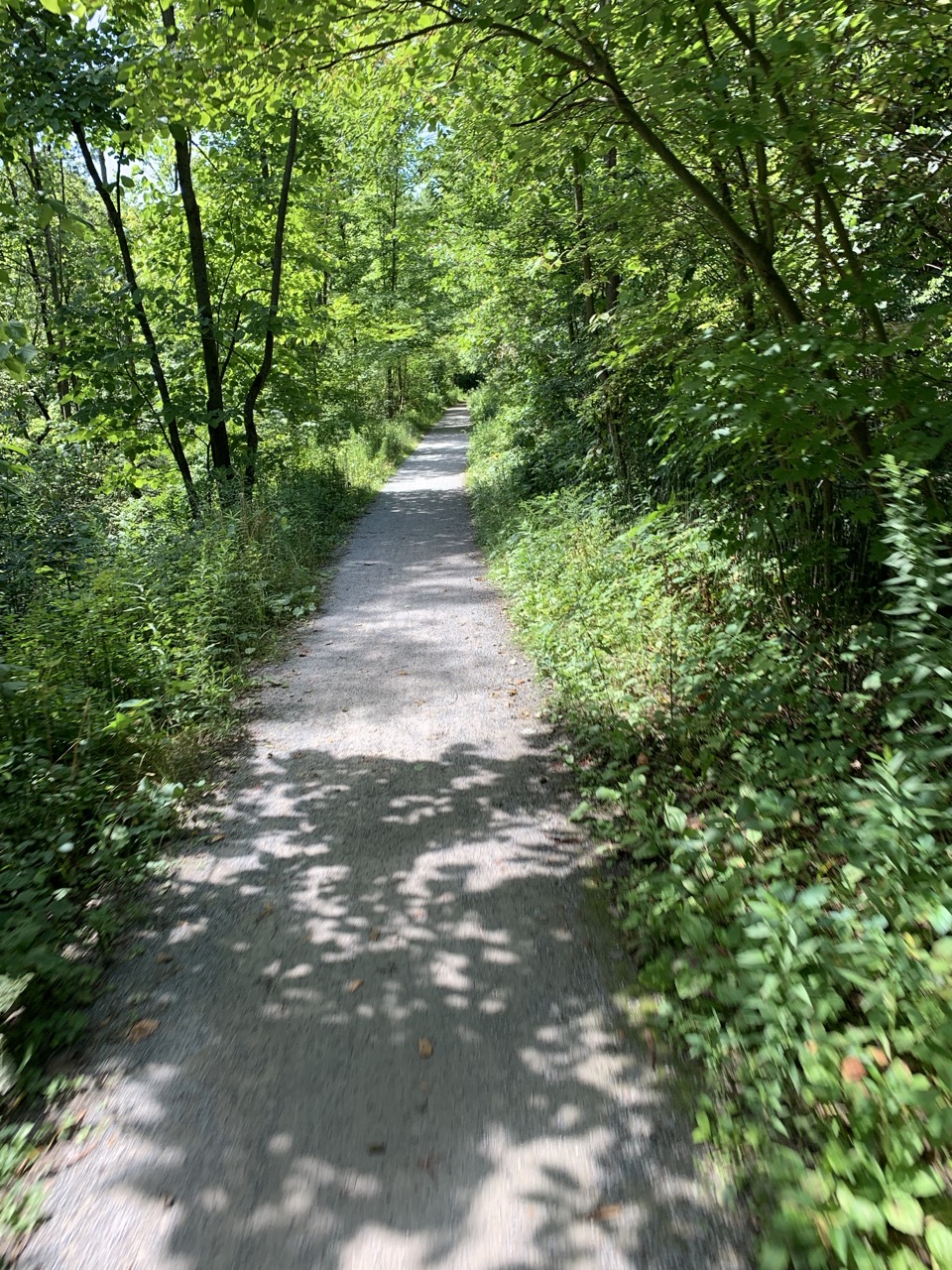
The Lynn Valley Trail was especially well groomed gravel.
Several wooden rail bridges along the way.

At this point you have to go along a short section of Lynn Valley Rd.

After 0.4 km, you can rejoin the trail off to the right.

This port a john at Blueline Rd. provides a bit of relief just short of Port Dover. (or is that too much information).

Here is where the Lynn Valley trail ends in Port Dover. No apparent services at this end.
Nominal picture of Lake Erie. Exactly 50 km logged so far.

There is a large Tim’s in town, but feel it is always better to support the local businesses. I was happy with the ice cream at Willie’s although I don’t appear to happy in this photo.

I’ve been advised to try the perch at the Erie Beach Hotel the next time.
Heading back, here is another shot of the Waterford Bridge (meaning that I’m about 75% done).

Crossing into Brant county, we have blessed asphalt again.

Mt Pleasant would have made a nice alternative starting point. It is only a few kilometres south of Brantford, and this community park was only about 100m from the trail, and it had a washroom and parking.

At this point I elected to continue north on the TH&B trail, rather than the way I came.
This map explains the difference between the two routes into town.

The red arrow shows where I started and I followed the green solid and dotted lines to the south, which was the LE&N trail. On the way back, I took the TH&B trail. Annoyingly, Google Maps does not show it as a continuous line out of town, but it actually continues south beyond the yellow arrow, and merges with the LE&N trail at Burtch Rd. I used the TH&B trail into town. It ends at Colbrone St W.

Next time I’m going to park in the shopping centre with the Sobey’s which is just across the street from the end of the paved trail. This makes much more sense than how I started this morning.
A few more observations about the trail:
- Over 90% of the trail is shaded from both the sun and wind. This means you don’t get a lot of views, but what you do see is mostly farmland.
- I was impressed with the condition of the trail. It is totally doable on a road bike, although bikes with really skinny tires would not be ideal. There are only a few patches of loose gravel, and all of these were associated with where the trail crosses roads.
- Once again, I would suggest parking at the shopping centre at the intersection of Veteran’s Memorial Parkway and Colborne St. which is near the northern end of the TH&B trail. It is paved all the way to the Norfolk County line, unlike the LN&E trail.
- The entire trail is basically dead flat.
Update: I have some notes on the rail trail between Ancaster and Brantford here.
Read Full Post »


