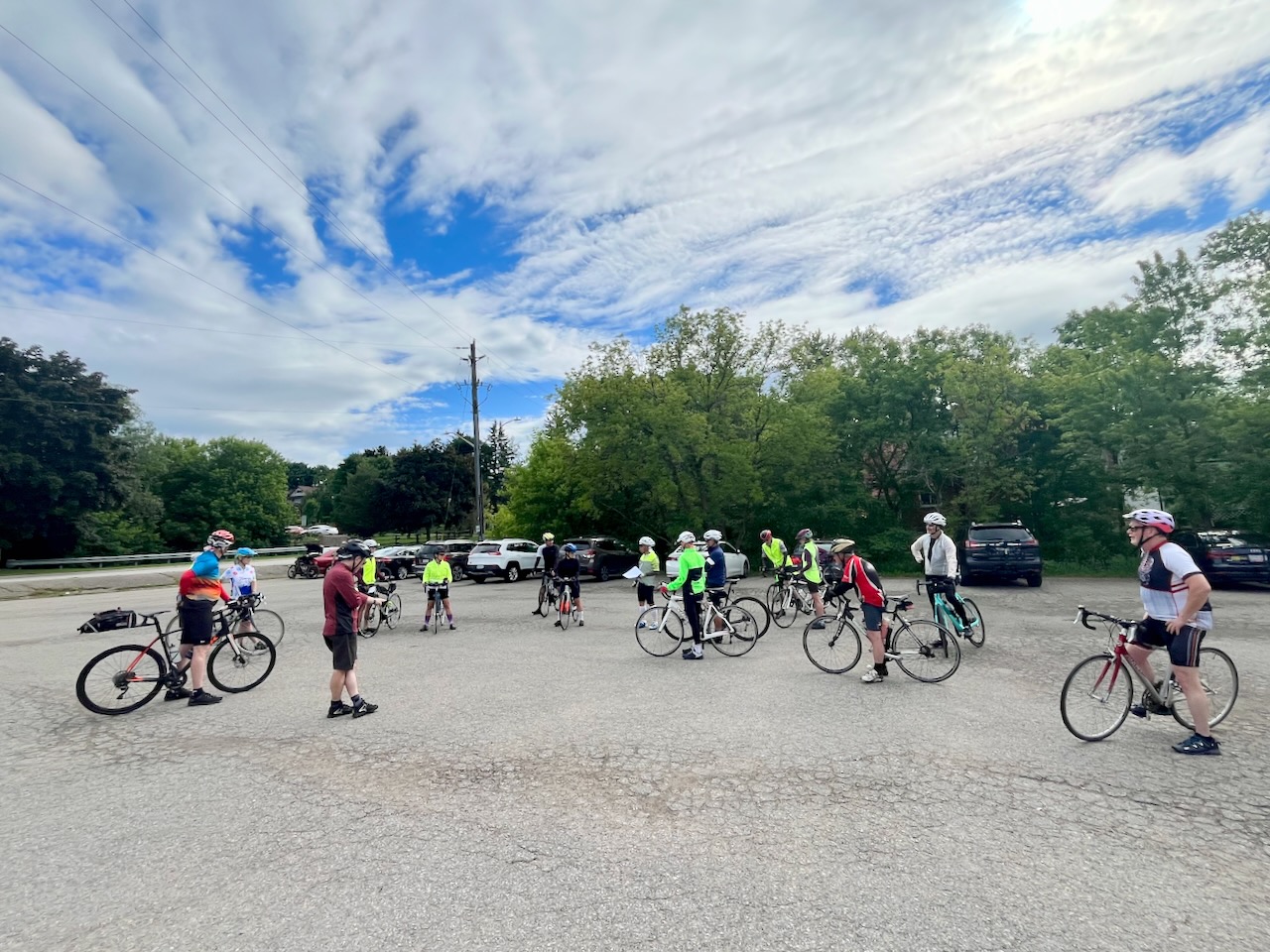
I’ve not done very many TBN rides so far this year, but today was a Country Cruise ride that included a section of the Caledon Rail Trail, so I had to join. Here we are at the starting point in Schomberg.
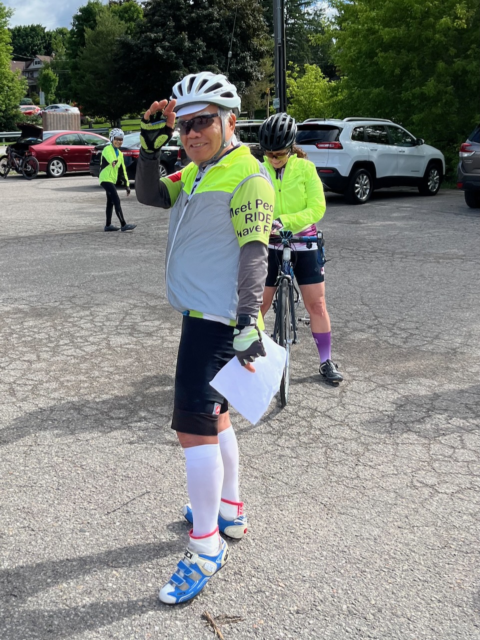
Ride leader Jimmy tells us how he got ticketed in High Park. If you get pulled over on your bike, you are not legally obliged to provide ID, just your name and address. However, the officer put quite a bit of pressure on Jimmy when ID was not provided.
Just another case of the waste of police presence going after cyclists in High Park when they could be doing something more useful like more enforcement of traffic laws for motorists. Stricter enforcement might also get motor vehicle traffic to flow more smoothly in the city. Drivers that block intersections really need to get ticketed.
There was a bit of confusion at the start since there were four routes on offer. I chose the 71 km version since it had the longest portion of the trail rail, from just west of Palgrave all the way north to Tottenham.
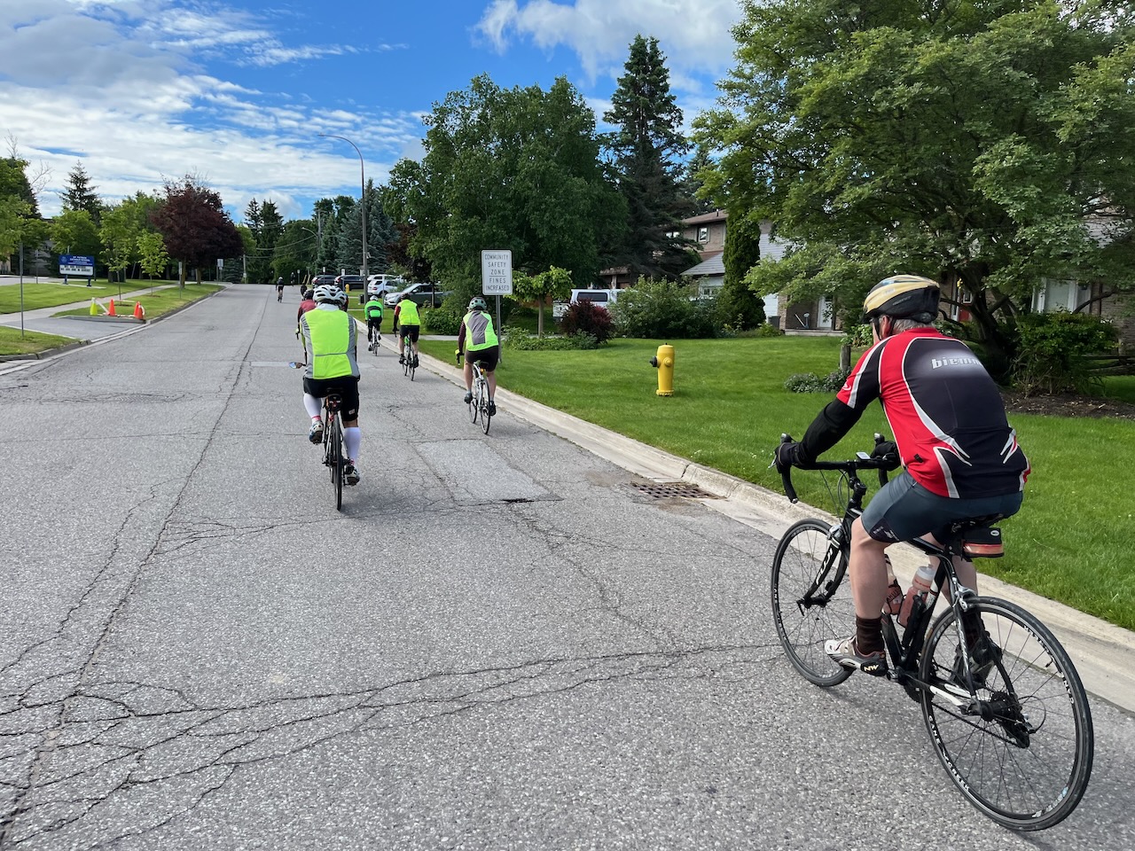
Off we go.
On this ride, I was using a new cycling computer for the first time, a Wahoo Elemnt Bolt, and I didn’t have it set up properly with the route file. However, while riding, I logged into the TBN website with my phone, grabbed the RidewithGPS file, and then sent it to the computer. This would not have been possible with my Garmin. I also noted that the map display with turn prompts was much more clear on the Bolt compared to my Garmin, including a row of flashing LED’s across the top indicating the direction to turn. I’ll have a few more notes on the gadget at the end of this post.

Although I went off with the faster riders, all of them were doing a slightly longer route without any trail, so I found myself alone after 30 km. I saw several packs of roadies out today, including these folks from the Caledon Cycling Club.

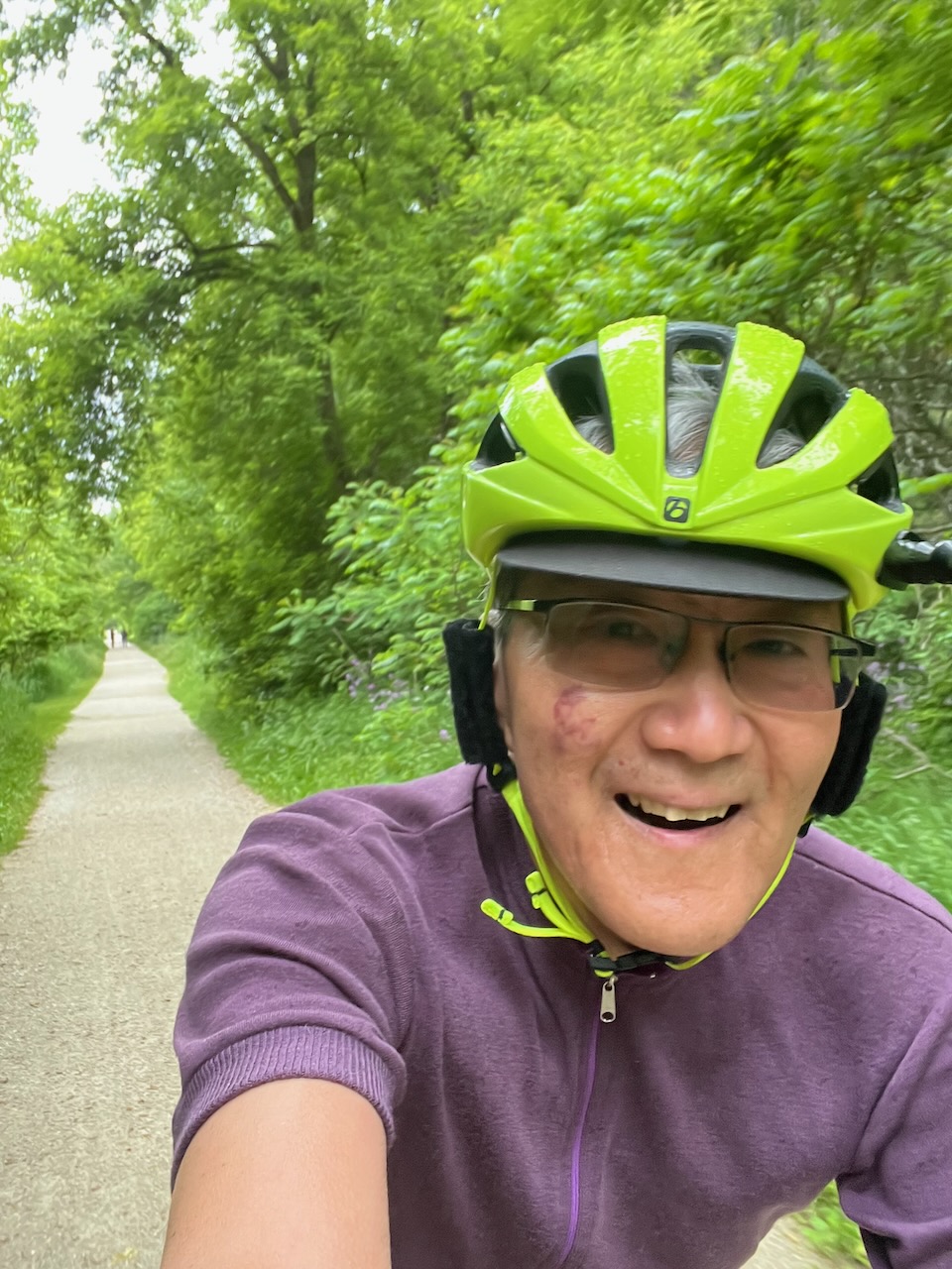
On the rail trail, my happy place. A good day for my vintage wool jersey (back when Swobo actually made stuff in San Francisco).
I don’t remember these monster houses the last time I was up here.
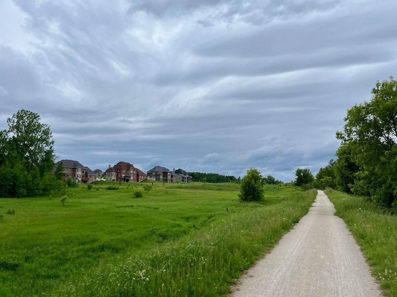
HWY 9 is where the Caledon Trailway joins onto the New Tecumseh Trail.

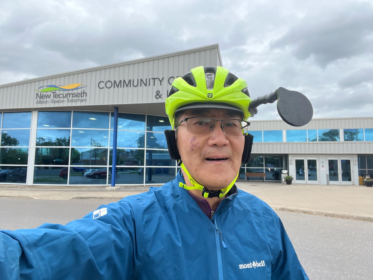
At the turnaround point in Tottenham. I often wonder how the tax base works in order to fund such nice facilities in areas of low population density. Also at this point it started drizzling, so I put on my rain jacket.
I saw a few of the faster TBN group in town, looking for a place for lunch. There also seemed to be some confusion among them about which way to ride out of town. AFAIK, all the routes went west out of town.
At any rate, I got back to the start just before 1 pm, and shortly afterwards it started raining in earnest. I hope that the others didn’t get too wet.
Thanks to Jimmy and Carol for organizing today’s ride.
Just a few gear notes:
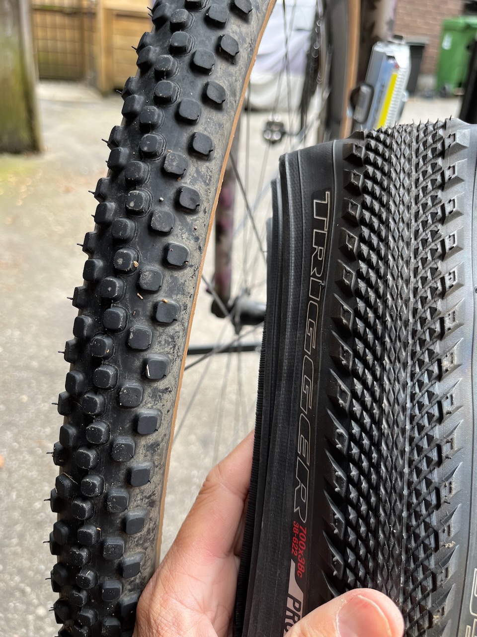
First, given my bad experience with flats during the Ride for Brain Health, I decided to swap out my tires from the knobby Compass tires to a Specialized gravel model that is supposed to be more flat resistant. The new tires were a pain to mount, and so I really hope not to get any flats.
All the routes had that climb going east on 6th line.

Here’s how the climb is previewed on the Bolt.

This display is available during the climb. The climb is shown as a linear ramp, even if that is not true. I will note that the Garmin tried to show a more accurate rendering of the changes in slope during a climb, but that was one of the few things that it did better than what I saw today with the Bolt.

I’m already a big fan of the top face buttons. Much easier to use than the side buttons on my Garmin Edge 530.
Here is a size comparison. The Bolt is a little thicker, with a slightly smaller display.


Leave a comment