Cycle 55+ is a group that runs a few bike rides each year. Today, they organized a ride from the Brickworks down to the mouth of the Don River, where we would be treated to a tour by Ken Dion of Waterfront Toronto.

Here is the group at the start, with our fearless leader Holly off to the right.

Off we go.

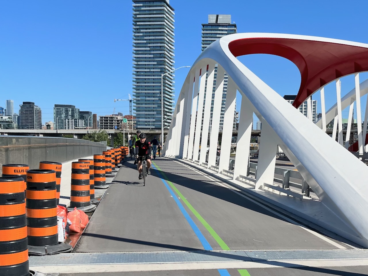
Down Bayview and skirting Corktown Commons to Cherry St, and then south on the new Cherry St.

We are provided with a safe place for our bikes to be locked up, right by the former site of the lookout tower (which is in the process of being moved to a new site).

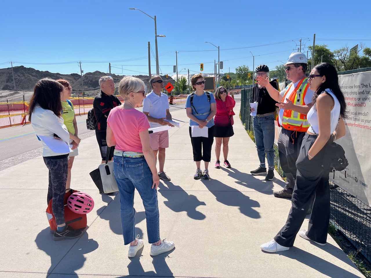
Ken Dion gives us an introduction, outlining some of the history of the area, as well as the project. He has been involved since 2002, first with TRCA, and then with Waterfront Toronto. The genesis of the project was a report called “Bring back the Don”, published in 1991 by a citizen led task force. It was recognized that something needed to be done in order to improve flood protection, as well as to unlock the potential of the area.
He mentioned that the prior redevelopment of the Corktown area was also done in order to improve flood protection, making it easier for water to flow down to the lake. If it had not been done, it would have been possible after a severe storm of the magnitude of Hurricane Hazel for water to flood the area as far away as the CN Tower.
The Keating Channel is not an ideal outlet for the Don since flood waters would have to make a hard right turn. The new configuration provides three outlets for floods: the Keating Channel, the new meandering riverbed that defines the southern border of Villier’s Island, and a wetland (D) that goes into the existing Ship Channel. The Keating Channel was retained since it is quite deep and can handle a large volume of water.

Although the scope of the project is immediately clear, what is not visible is the significant amount of remediation that needed to be done. The land was built up with fill that came from various excavations over many decades. Furthermore, for a long period of time, the portlands had a large number of oil storage tanks. As a result, the soil was contaminated. A perimeter concrete wall was built, and then soil was removed to a depth of 9 m and cleaned before it could be used again. Before new and cleaned fill was put in, layers of a diffusion barrier, as well as activated charcoal was laid down to slow down further contamination from the underlying layers.
We are now standing over the west plug which is in the process of being removed.

The west plug will be removed first, and the northern plug will not be removed for a while. This will allow the planted vegetation to be established before it is exposed to the dirtier water that would flow from the the Don.
When heavy trucks went by, you could feel the bridge vibrate. We were told that vibration dampers will be installed to cut this down to make it feel safer although the bridge itself is structurally sound.
The bridges were fabricated in Dartmouth, and were barged in, but apparently at one point they had to be sent to Holland where the steel arches were made. Apparently there were no vendors in North America that had the machinery to bend the steel in two directions to make the required shape.

Apparently this one remaining Atlas crane has Heritage status and will remain. Note that the white steel plates were added at the feet to make it more difficult for people to climb the structure.

We then moved to the orange bridges along Commissioners St.

From this viewpoint we can see the north plug.

The Lakeshore Bridge is new, and it is higher than the bridge that it replaced. There was an issue during construction where there was a hazard associated with the demolition of the Gardiner. The demolition of a section of the Gardiner had to be moved up so that the work on the Lakeshore Bridge could be done. You can just a bit of the elevated roadway that is still to be removed at the left margin of the photo below.

Here is a picture of the same area that I took back in February, when the riverbed was in the process of being filled. You can see the armour stone. We were told today that this part has been made deliberately shallow so that any ice dams would form here.

This is the northernmost wetland.

At the moment, the vegetation is still quite young and is fenced off for protection. There are also strings over the vegetation bed to protect from ducks and geese, and if you look closely, the strings have tinsel on them so that they are visible to the birds who will avoid them.
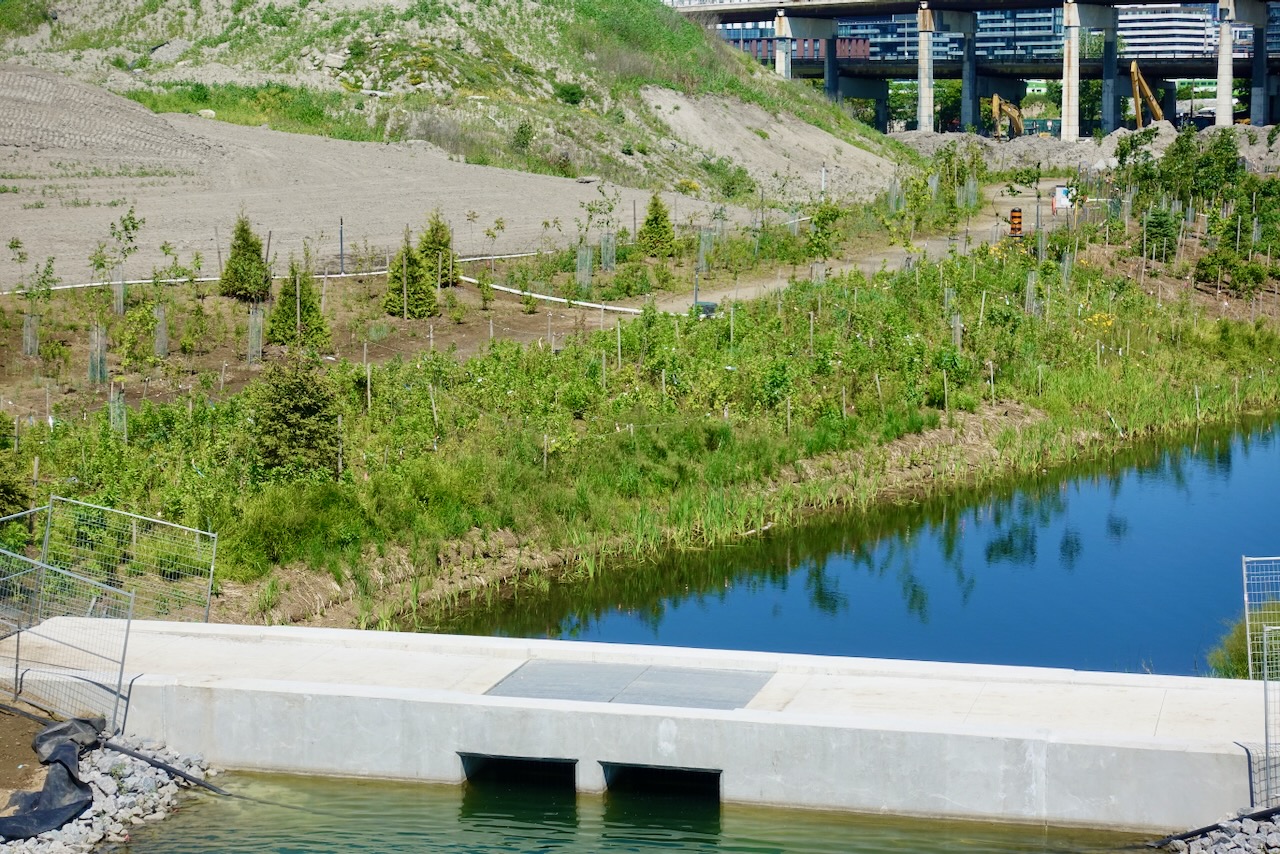
The water inlet in the foreground has metal bars that are spaced so that fish can enter, but large carp cannot. Carp can be quite destructive to the environment.
All of the parkland is scheduled to be opened by next July.
We were told that the site for the Commissioners bridges was landlocked so the bridge sections could not be floated and then craned in. They built a temporary access road from the ship channel, and then 50 motorized wheels were put under each section, and the sections were driven into place by remote control.
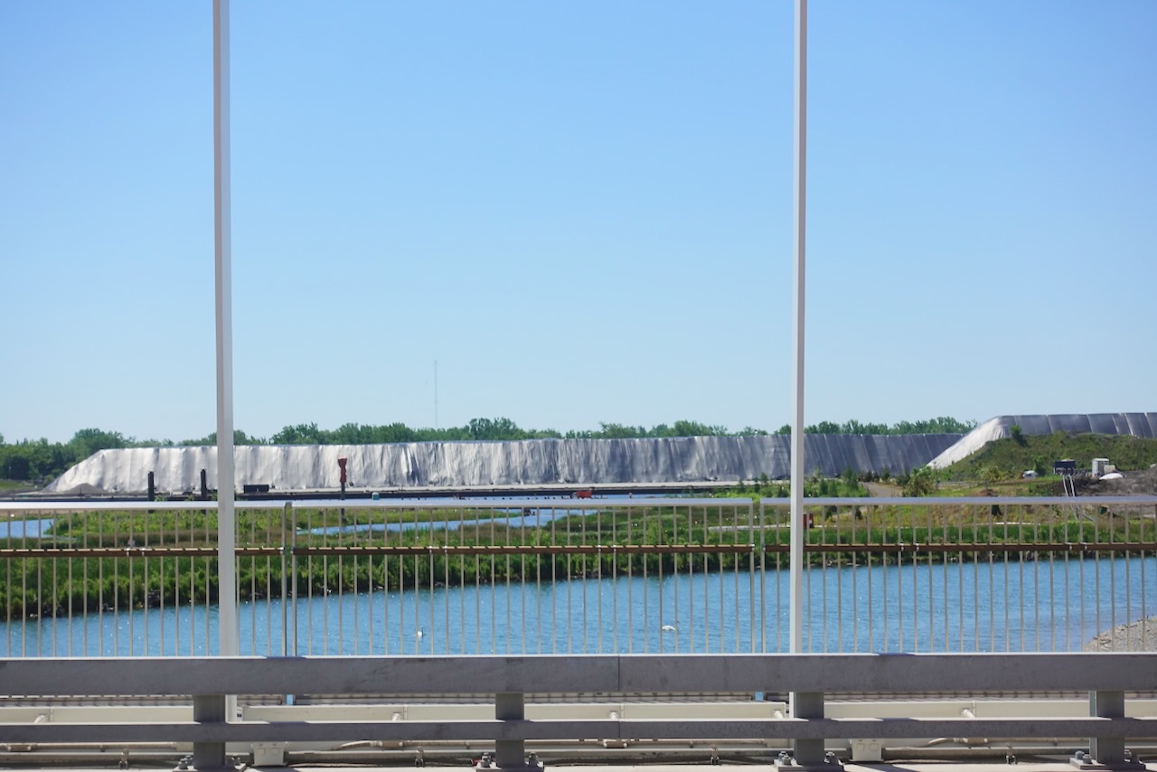
Looking south, the large piles covered in black plastic are on the other side of the ship channel, and that is where the city stores its road salt.
Now we are riding back north and we pause to cross Lakeshore Blvd. It was noted that there is a bike crossing only on the west side of the intersection which creates a pinch point, even though there is a signalized pedestrian crossing on the other side.

Now we have to wait on the north west corner before crossing Cherry St and heading further north under the railway tracks. This is not ideal.

However, it was great to see so many cyclists taking advantage of the new infrastructure in the area. Here we are waiting for bikes to pass us by heading west on Mill St.


Thanks to Ken and Nada from Waterfront Toronto for today’s tour, and to Holly for organizing things.
There is much more information about the project here, including photos showing the past history of the site.

Citizen-led, which could have included Dalton Shipway, who I think has passed ahead of seeing the fruition of all of these efforts, though clearly almost there.