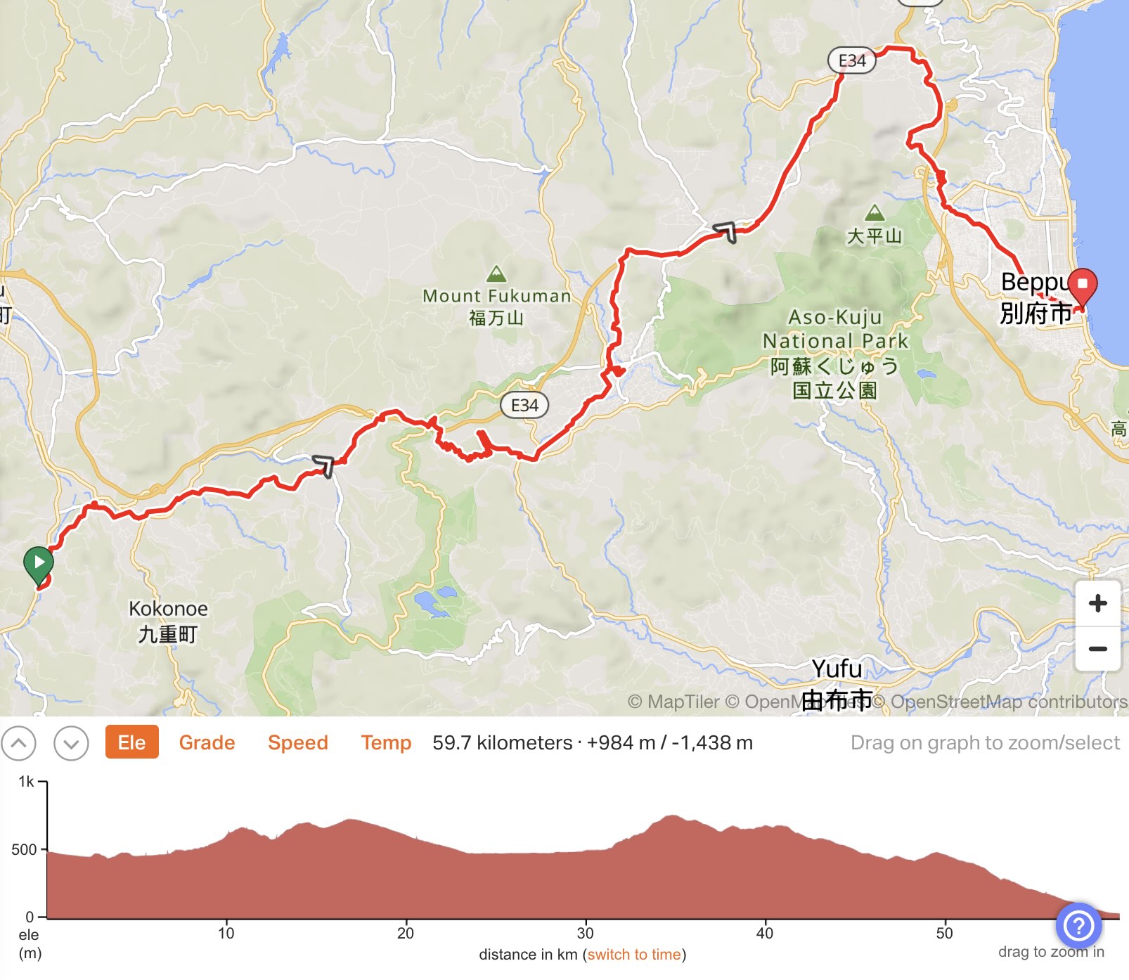
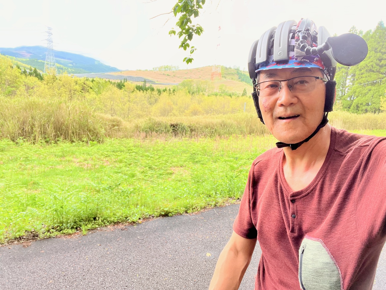
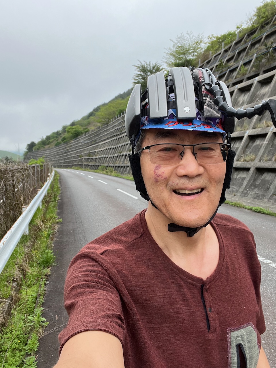
Yesterday was the ride to Beppu, the second day of my tour. There would be two major climbs with the village of Yufuin in between, and then a long descent to Beppu.
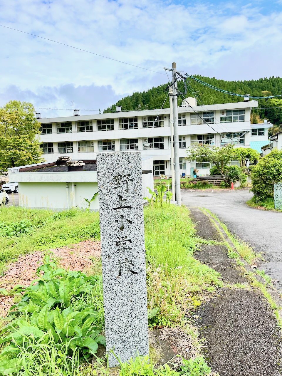
Just over the next ridge was a valley with my namesake river: the Nogami river. As a result, a number of things had the same name. Here is the Nogami elementary school.
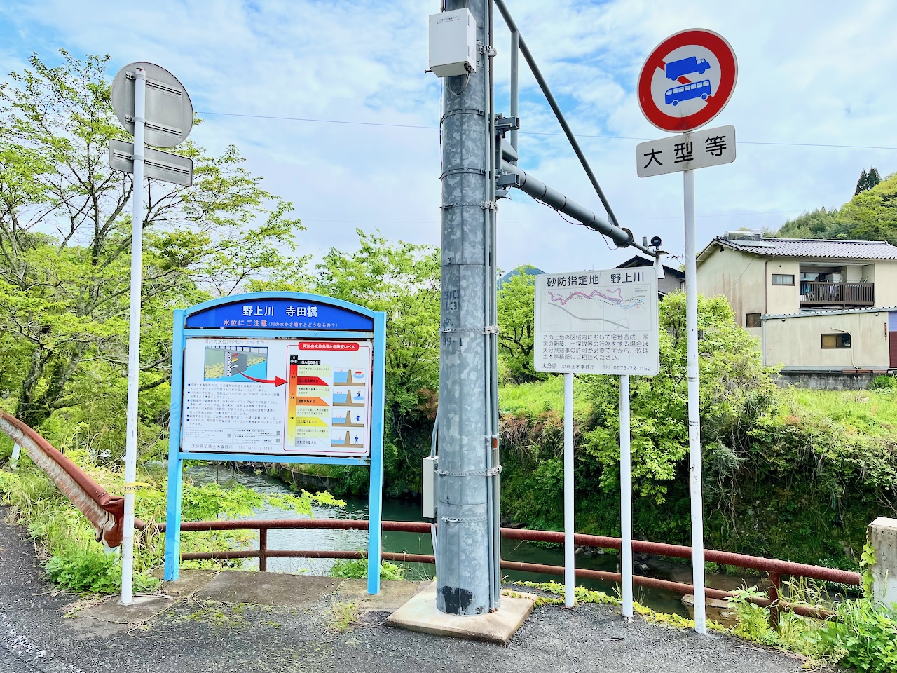
Some information about flood stages on the river.
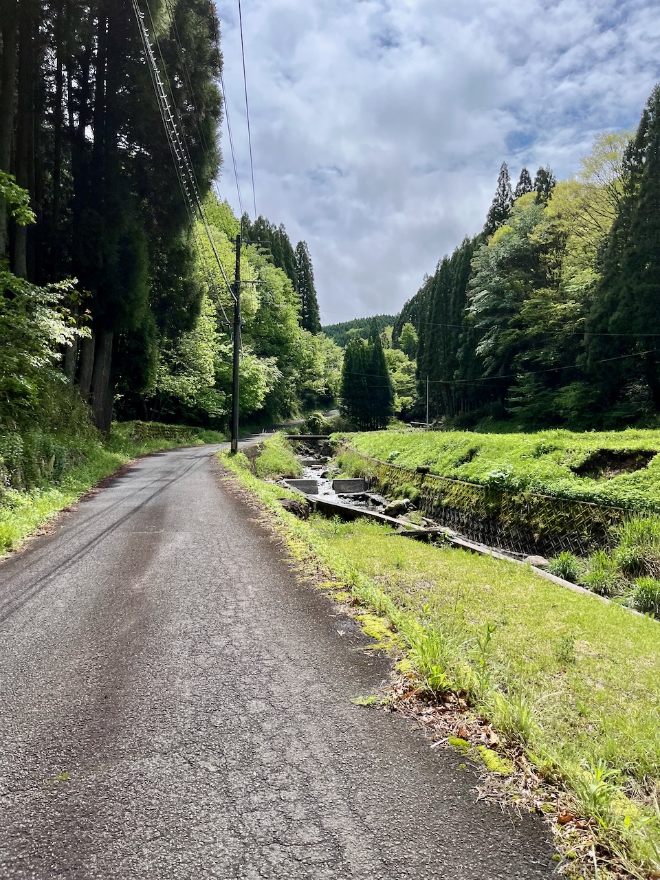
Now climbing.
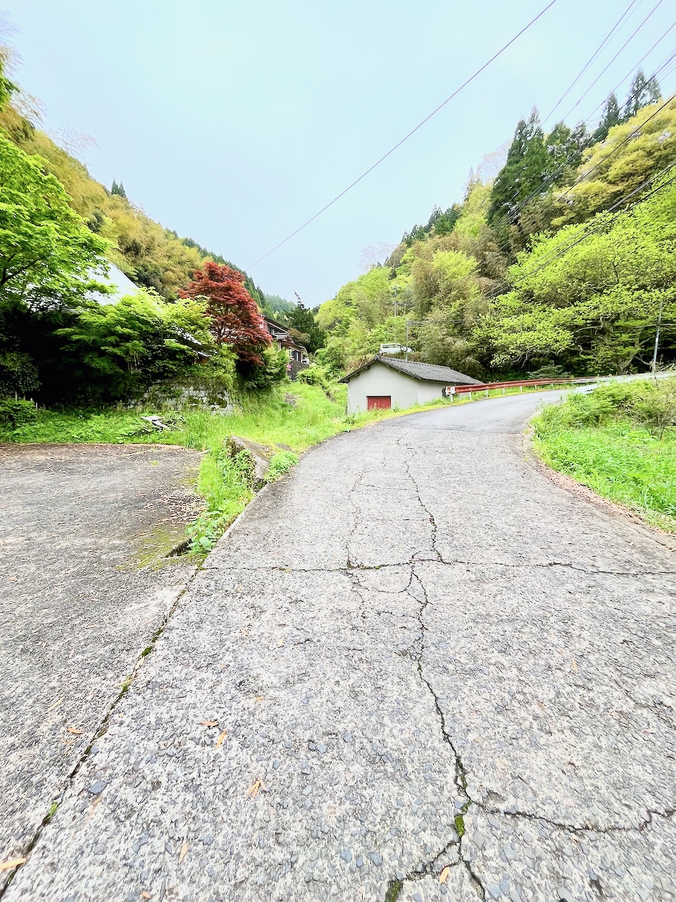
I’ve reached the first peak, and I knew there was nothing here because I had previewed it on ridewithGPS.
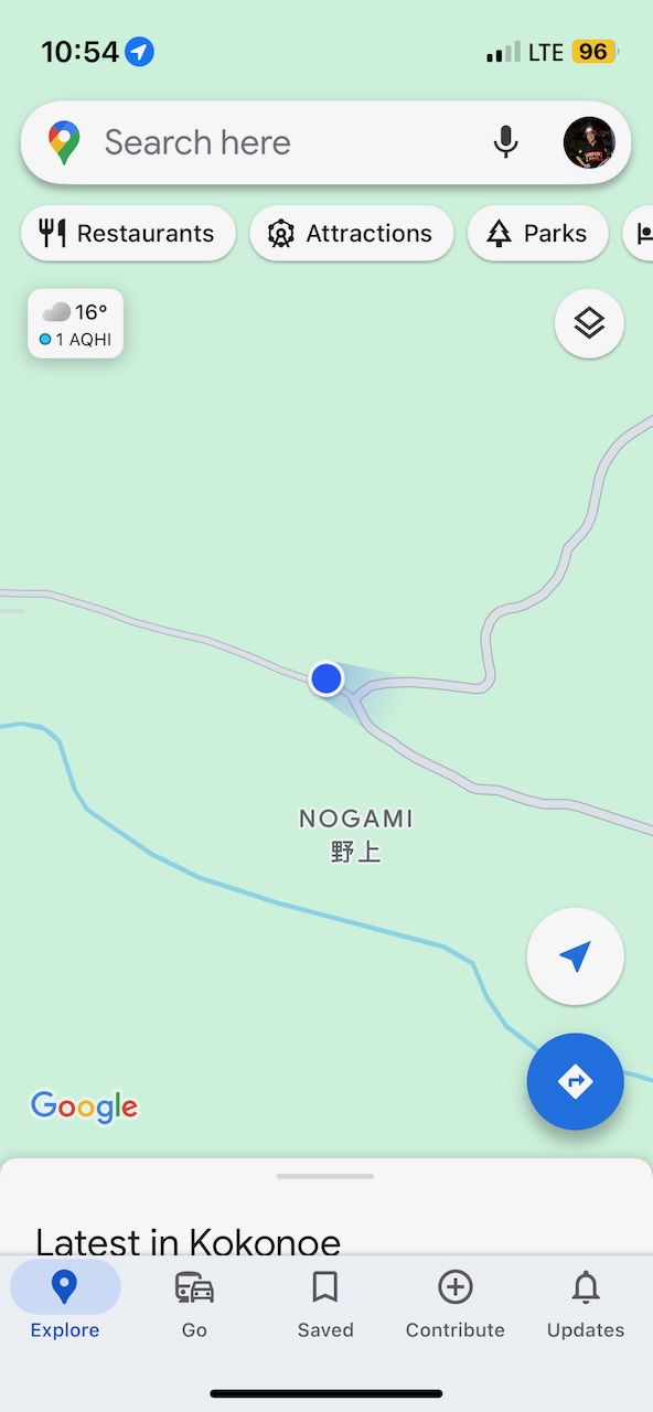
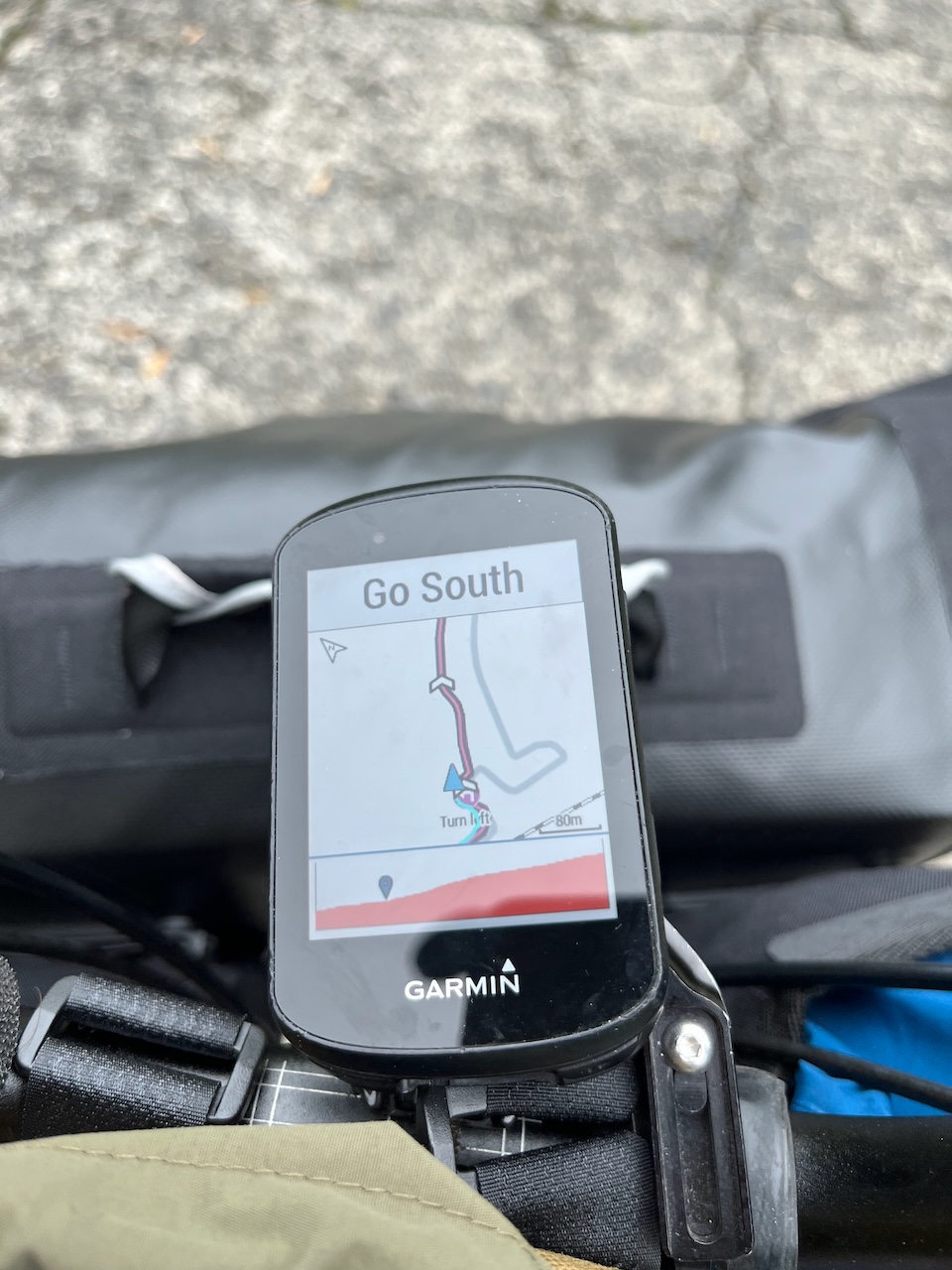
The reason that I picked this particular section of the route was that I had seen this on Google Maps at this exact spot.
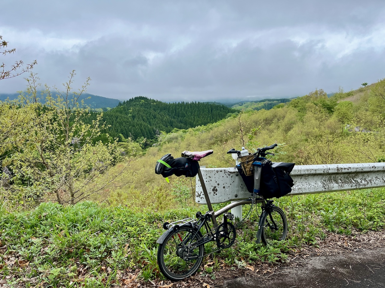
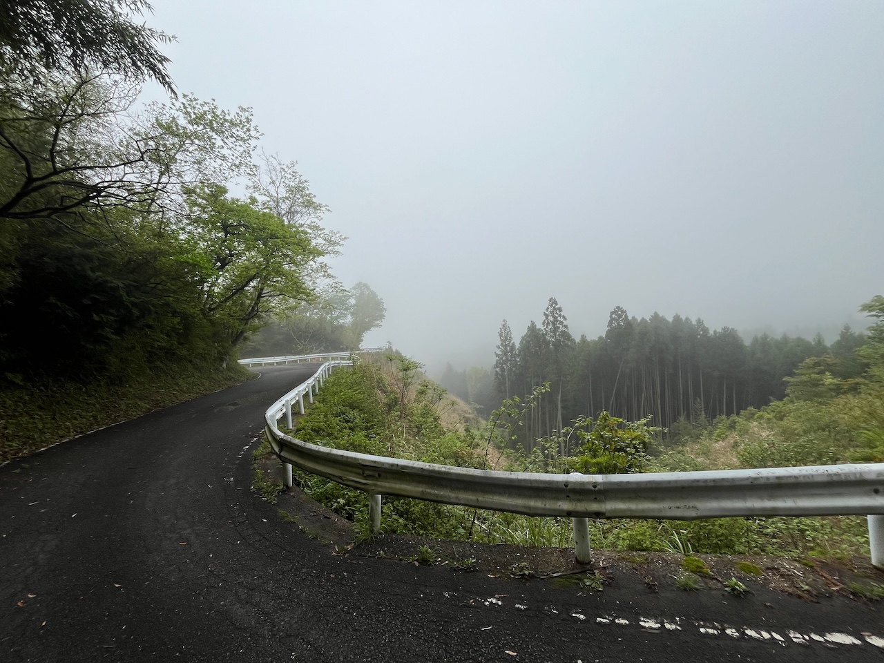
Now descending, and you can see a low cloud deck.
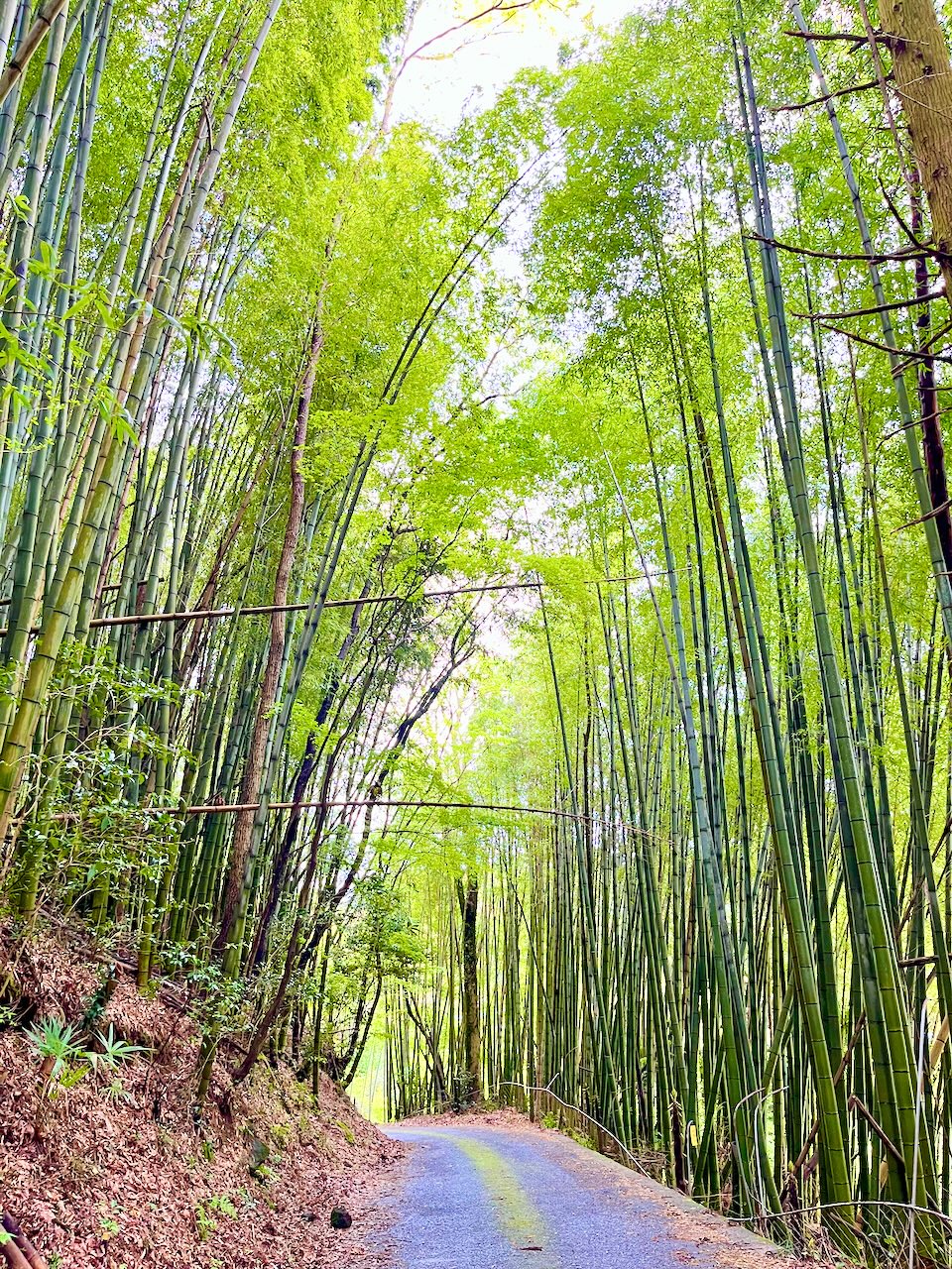
A grove of green bamboo, just like Arashiyama, but with not another soul in sight.
Another climb, and another prime example of Komoot’s ridiculous routing. It tells me to go straight.
Do you see a way straight forward?
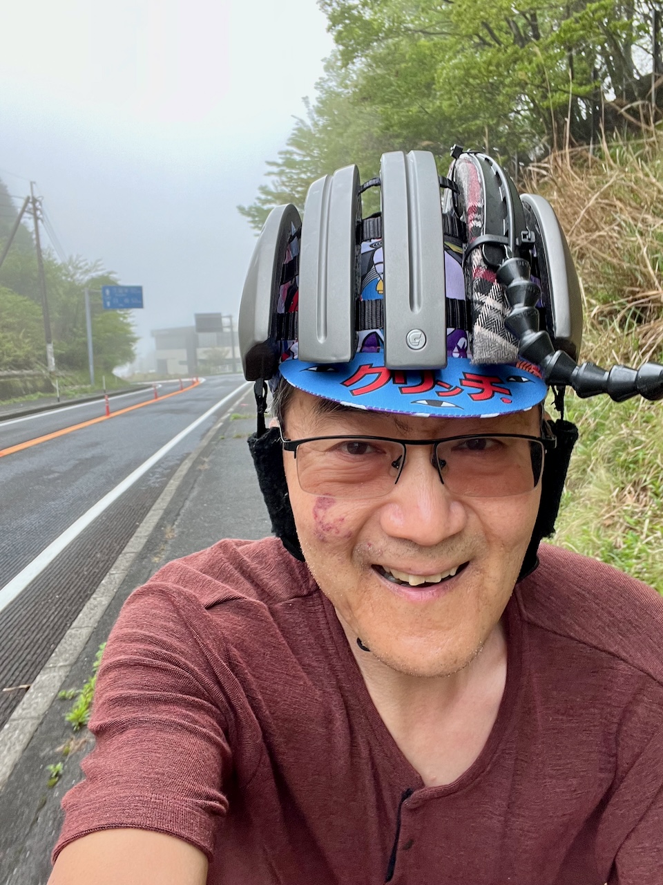
At the top of the first major climb.
Now descending down a long, winding road into Yufuin. This would have been a great way to climb since the grade was quite steady.
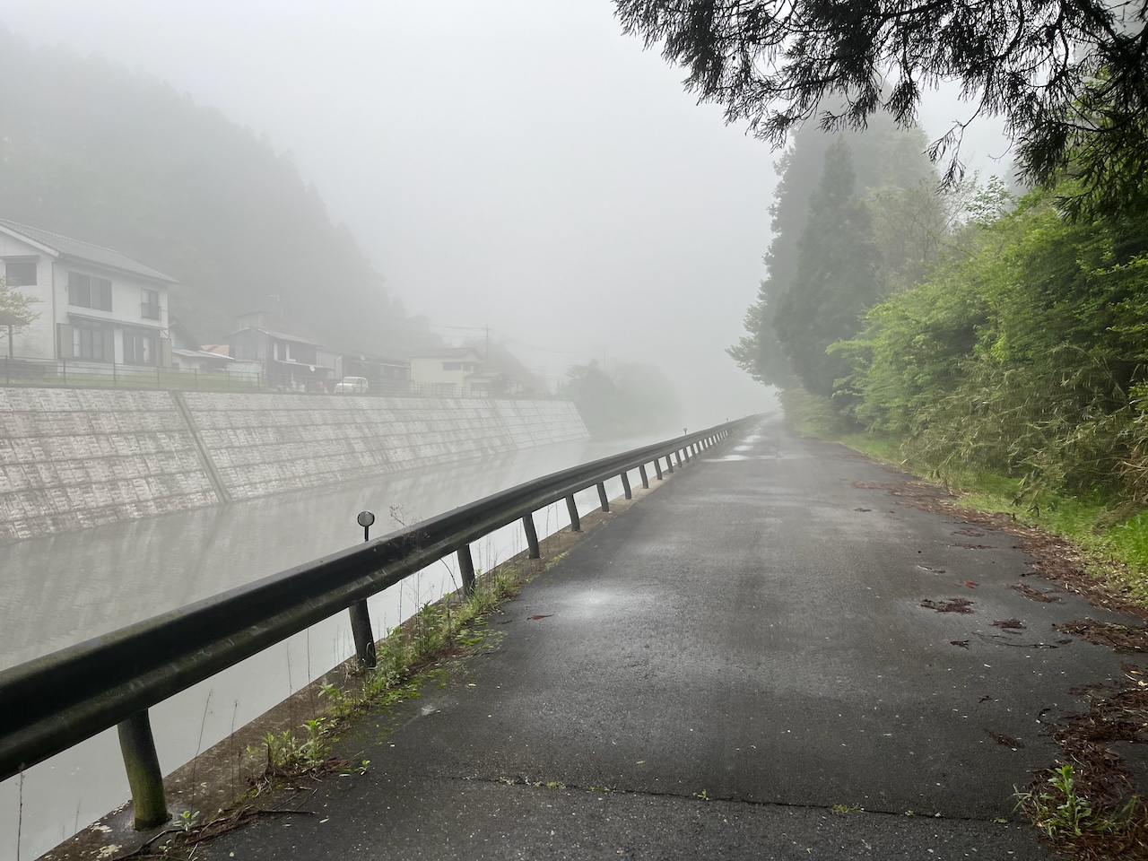
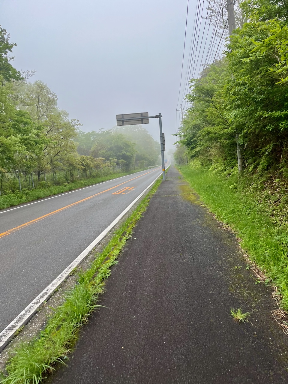
Reached the valley bottom. Still very foggy.
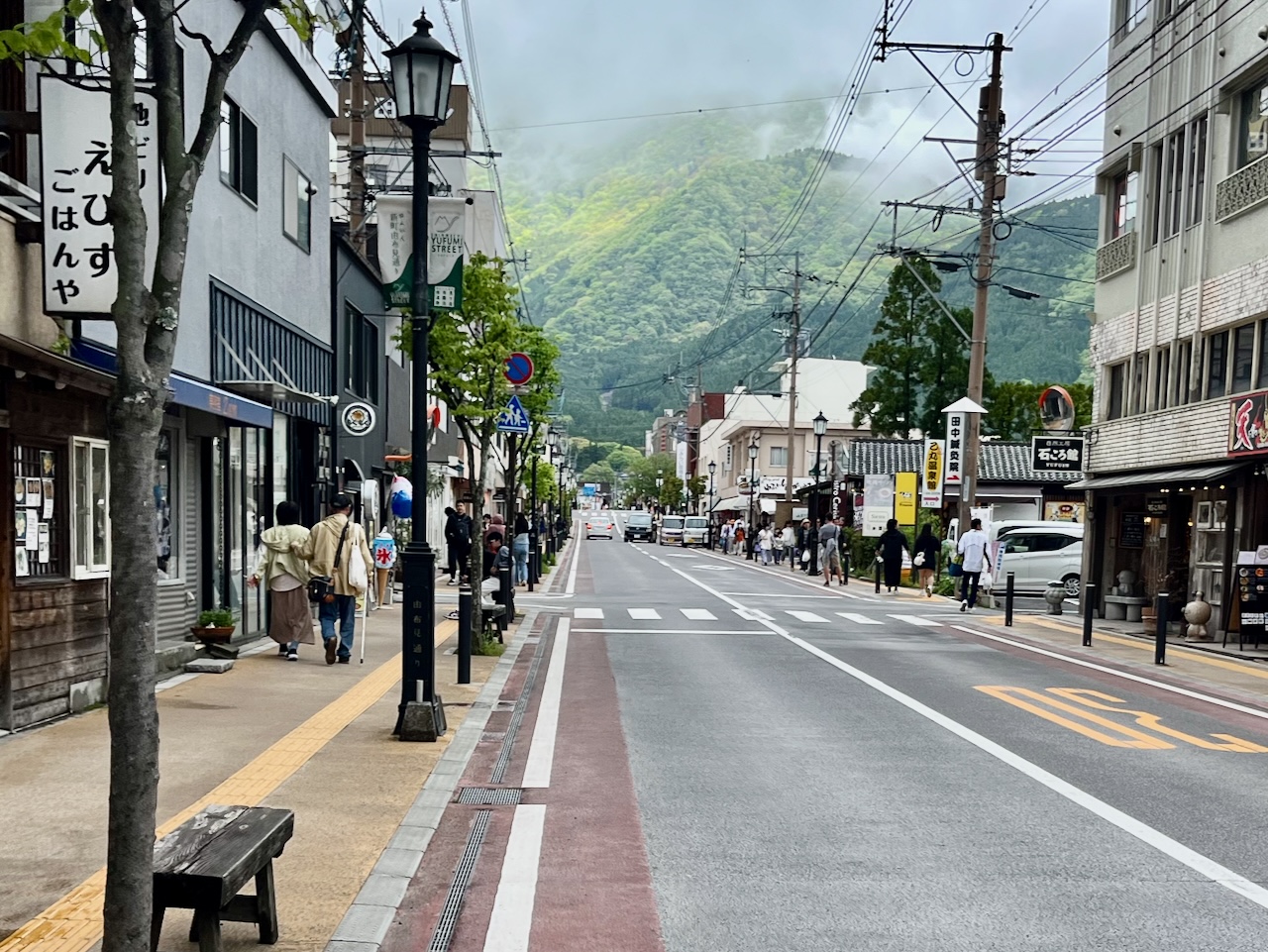
Yufuin had a main street crammed with tourists, which was quite the change from the earlier parts of the ride.
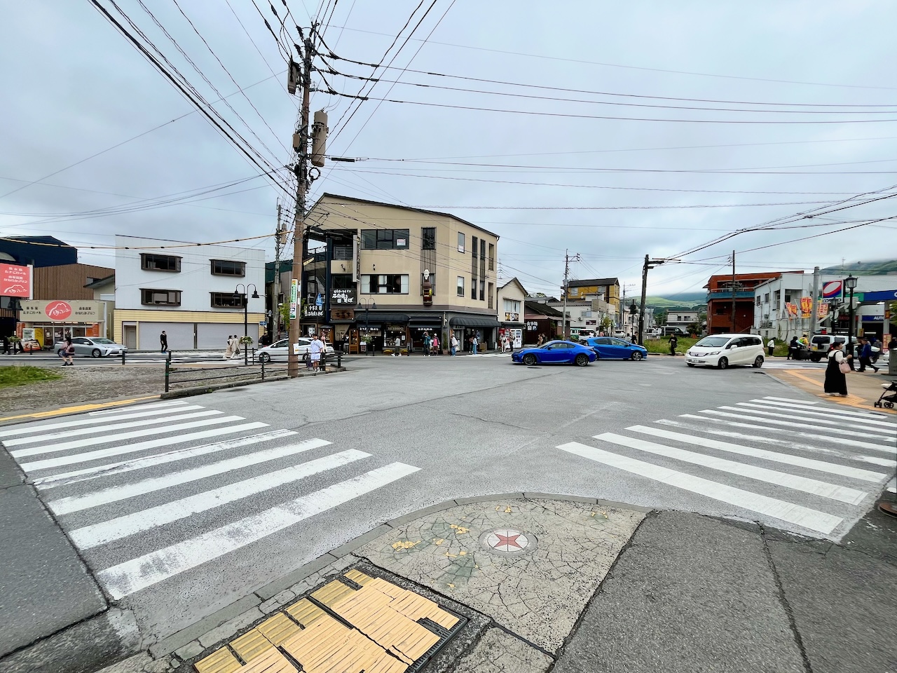
I loved the fact that this five way intersection had no signage or traffic lights. Cars and people just had to wait their turn.
Now climbing out of the valley: yet another Komoot fail. This sign says no vehicles when cattle are grazing.
Cresting the pass at the high point of my entire tour.
Descending towards Beppu along Route 500.
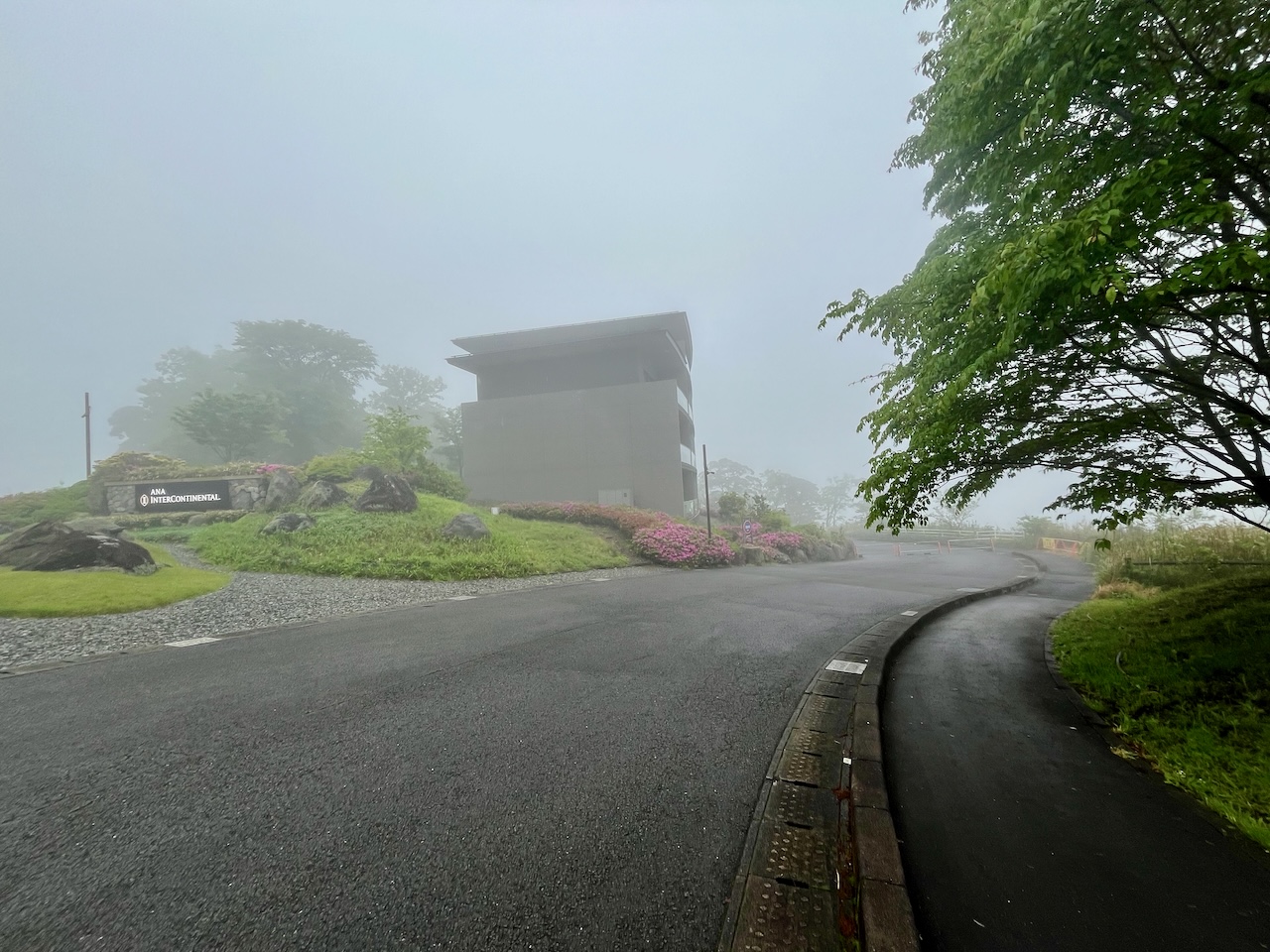
There is a series of switchbacks below this hotel which is the safest way down.
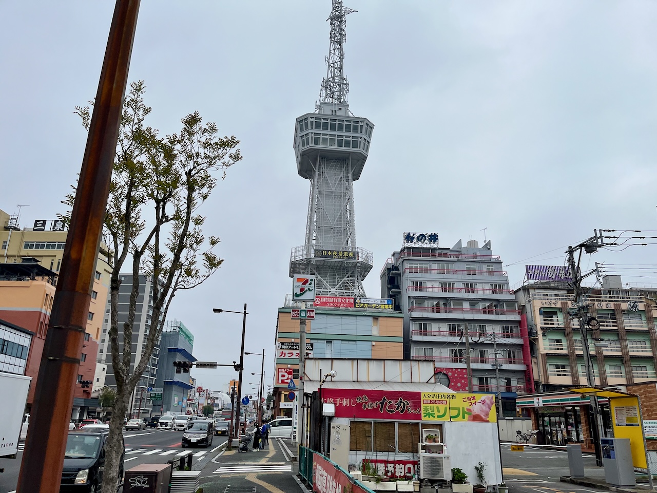
I overnighted in Beppu. Wasn’t terribly impressed. The waterfront had a bit of a Las Vegas vibe to it, which I didn’t regard as a plus.
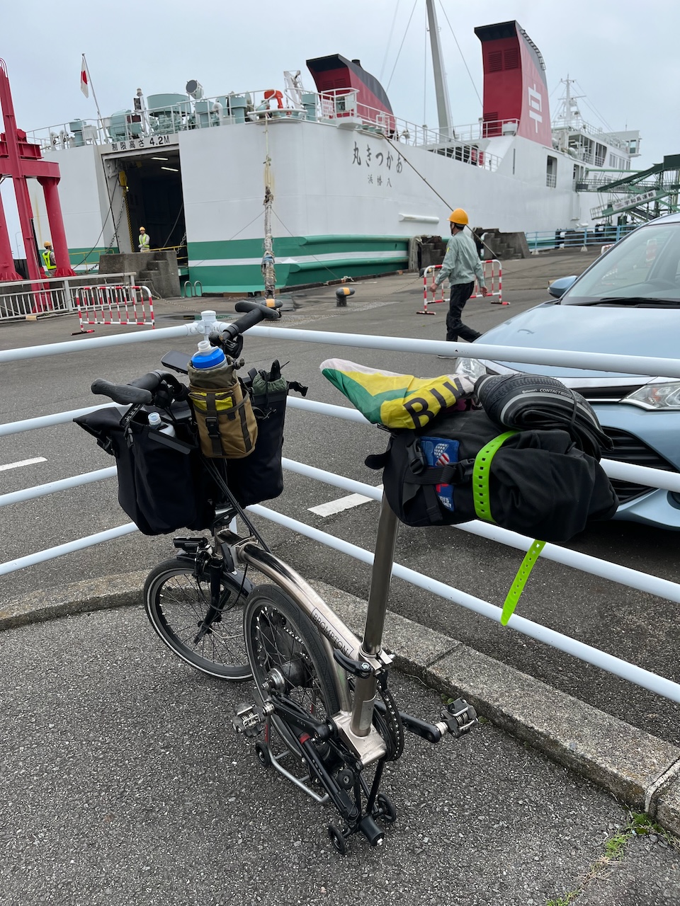
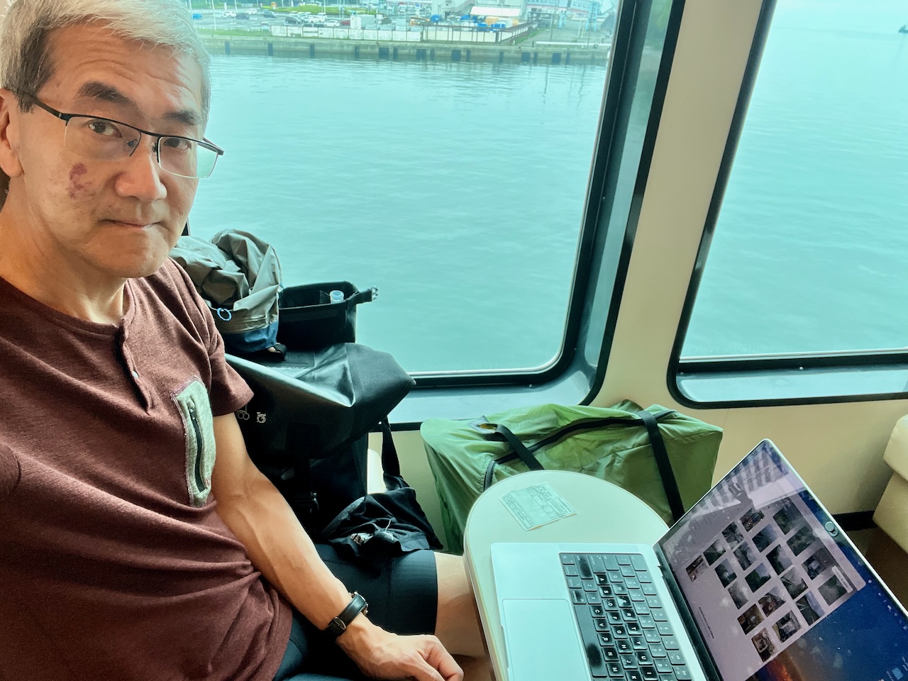
All ready for the ferry to Yawatahama on the island of Shikoku.
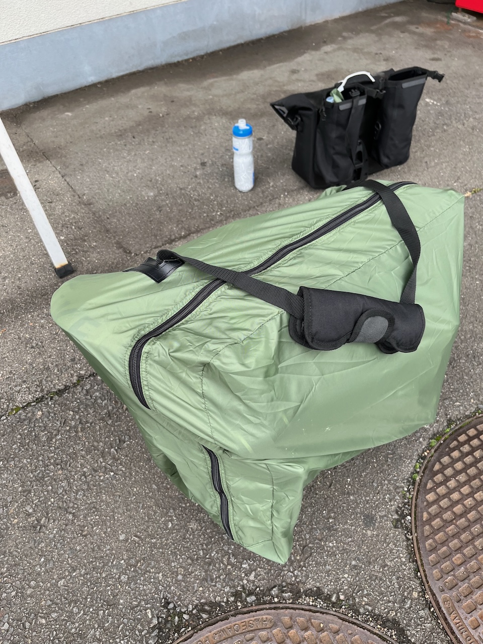
I’ve gotten smarter about rinko: I realized that I could use the padding from the O bag for the shoulder strap.
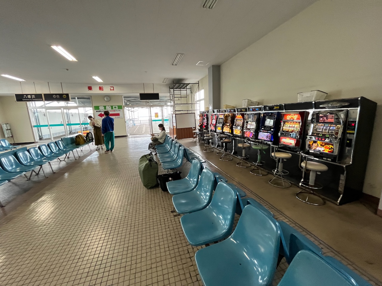
The ferry terminal had slot machines.
On the ferry. I thought I could use the three hour crossing to catch up on blogging, but the wifi was seriously slow.
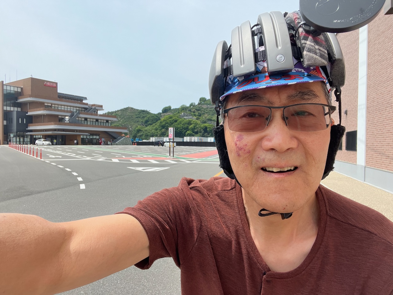
On the other side, I made the unhappy discovery that my Garmin died. I had to use phone navigation. Luckily I had brought a powerbank so that RidewithGPS wouldn’t drain my phone before the ride was complete. Here I am riding away from the ferry terminal (much nicer than the one in Beppu).
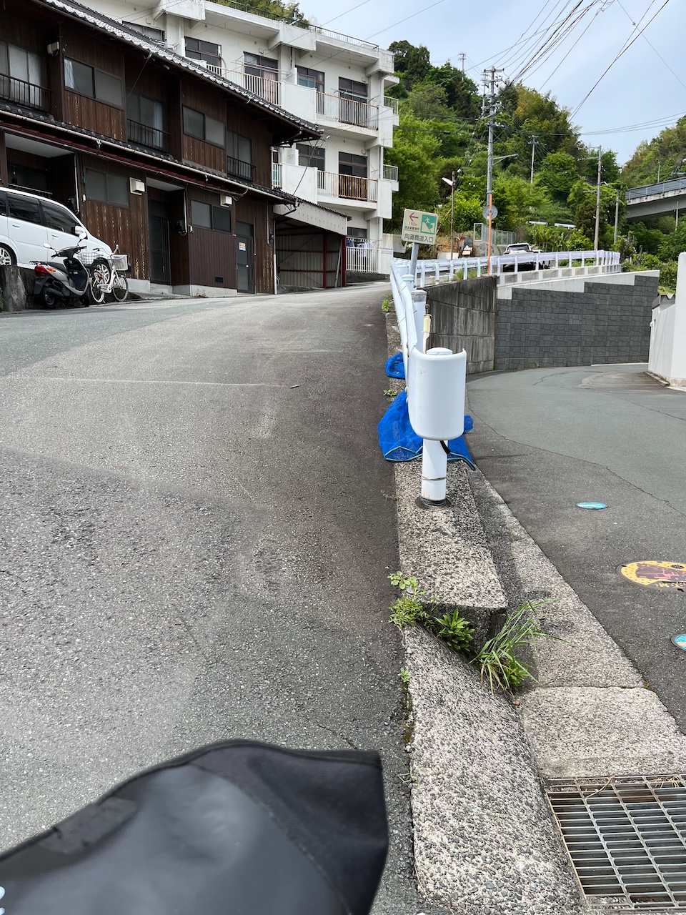
First climb of the way was really steep. Had to walk up.
More routing madness. Stairs, seriously?

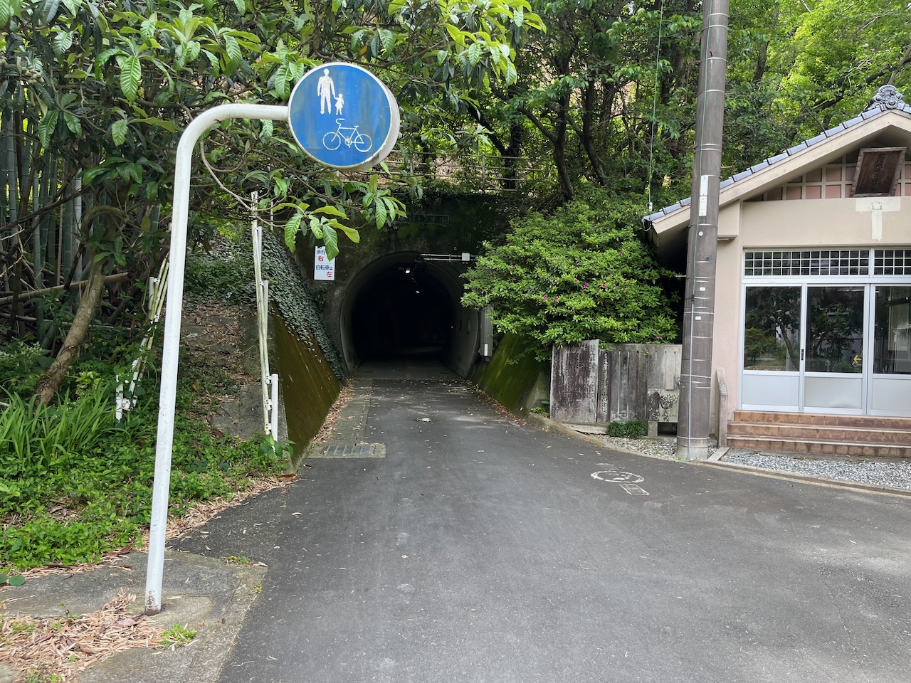
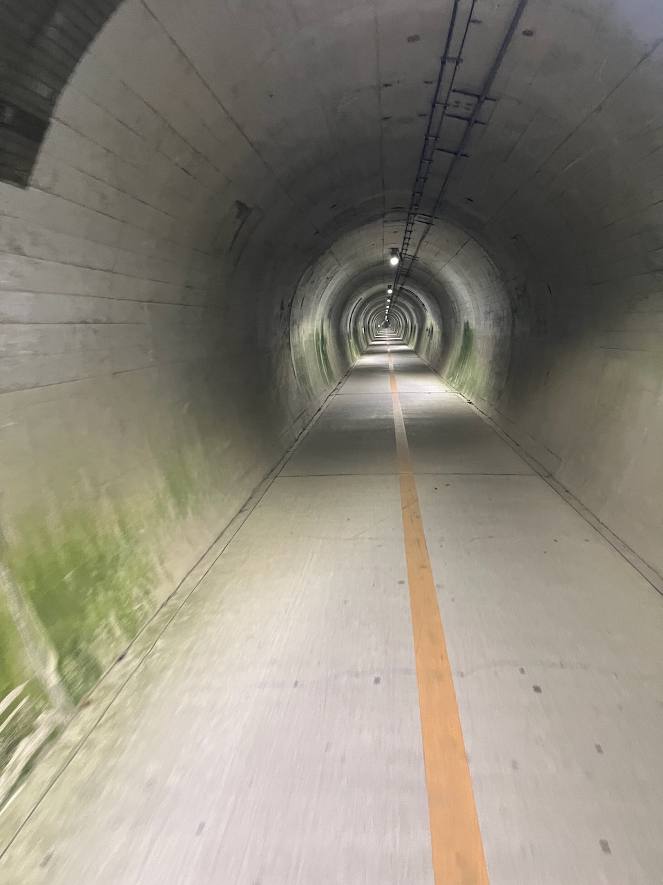
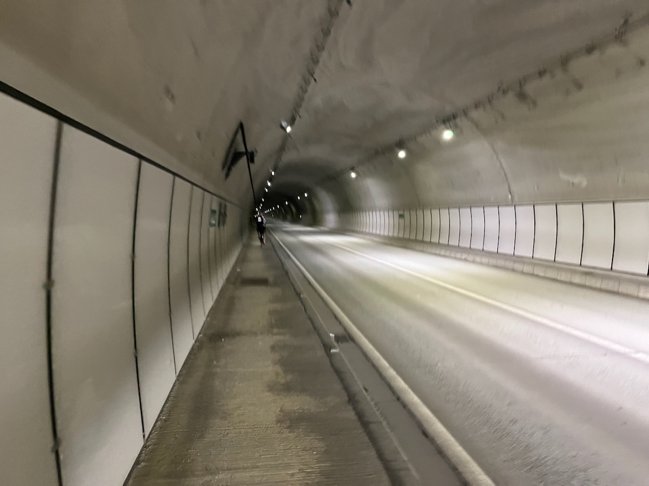
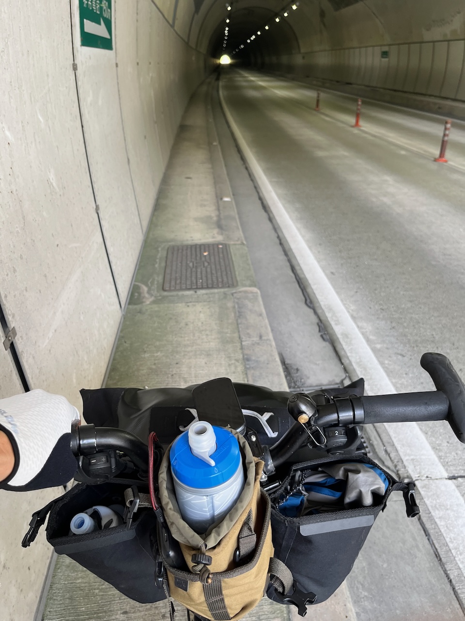
However, at the top there was a seriously cool tunnel for pedestrians and cyclists paralleling the main road, route 378. Most of today would be spent on that road.
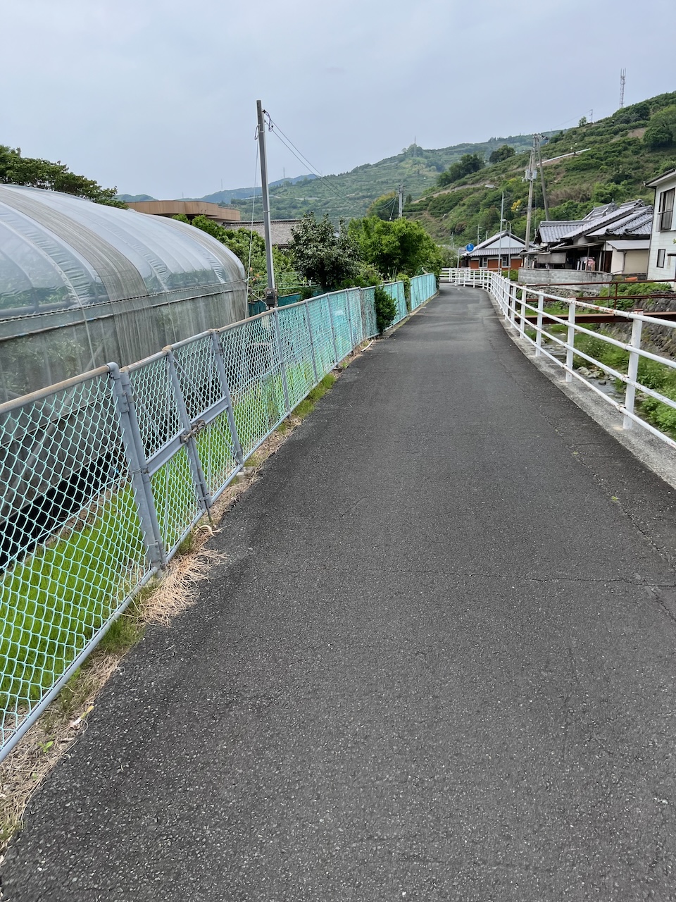
The climb continued on the other side of this tunnel with this nice protected multiuse path that eventually turned into a narrow road that could accommodate cars as well.
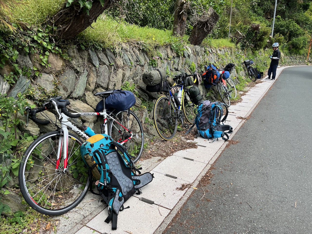
Just after this side road met up with Route 378, I saw some touring bikes parked on the other side so I had to stop and chat. These fine gentlemen were working their way around the island in the other direction.
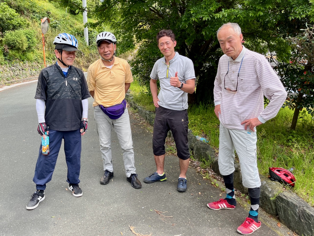
They had never seen a Brompton before.
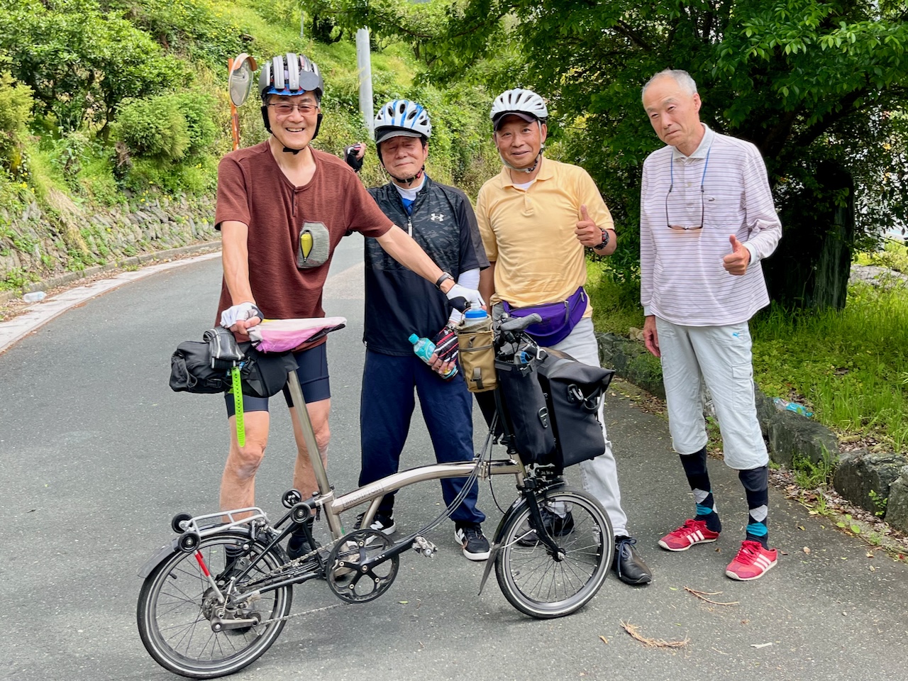
This was their gear.
Just past this point was the Goze Tunnel. Komoot was suggesting a bypass that looked like a lot more climbing, and I saw a roadie ride in, so I followed him. By the time I finished the more than 2 km, I was sick of breathing motor vehicle exhaust.
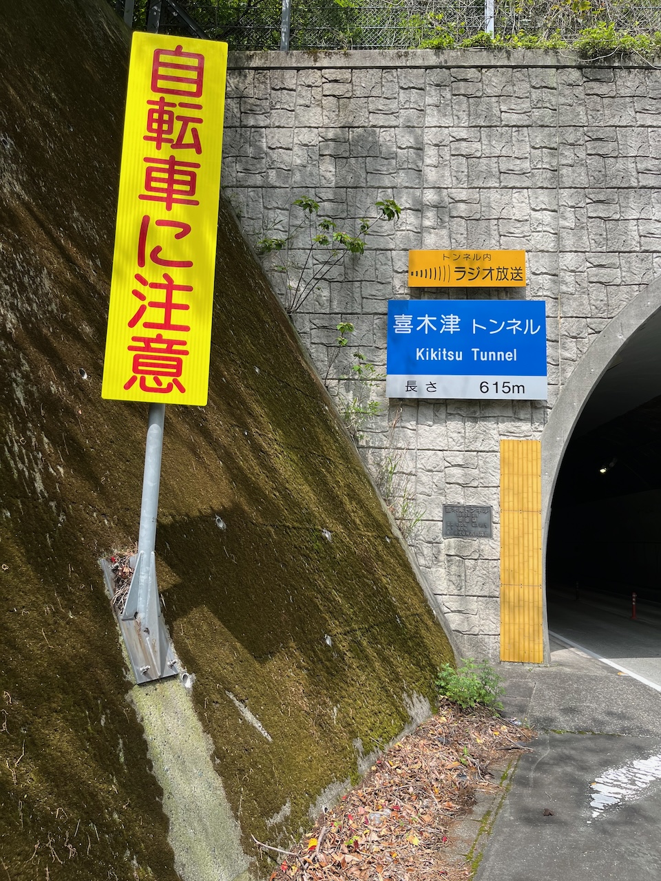
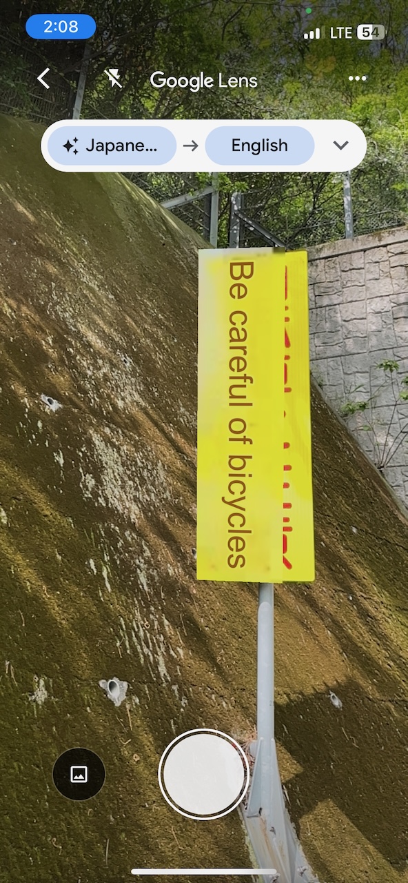
The next tunnel was only 615m but I had to use Google to figure out if that sign was saying “no bicycles”.
The sidewalk was just a bit wider than my handbars so I elected to walk. This was the most unpleasant part of today’s ride, made much worse by several packs of very loud motorbikes whizzing by.
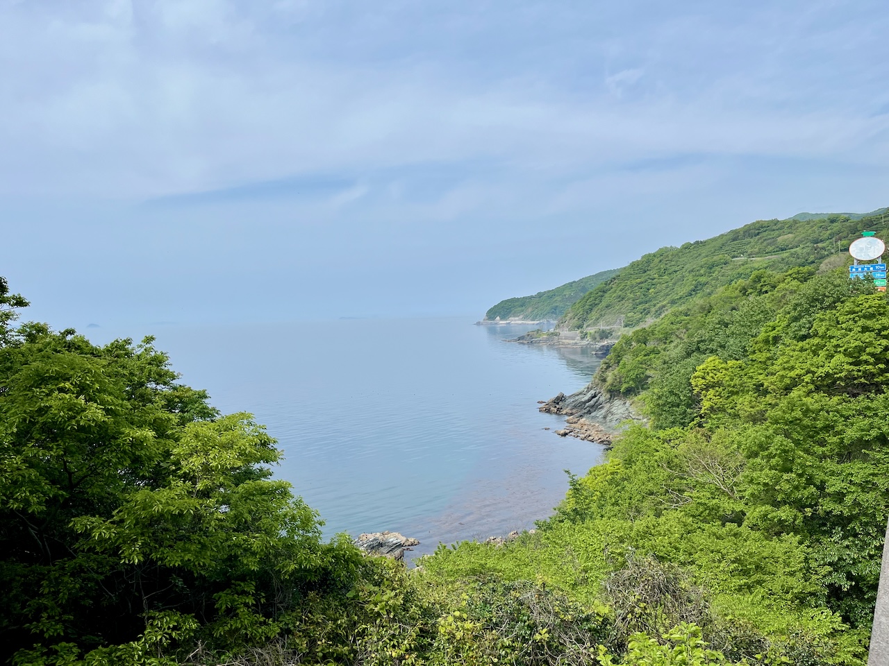
On the other side, my first nice view of the coast.
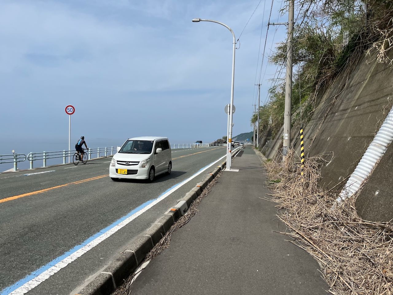
For much of the rest of the day along 378, there was the choice of riding on the road, or on a MUP that was always on the uphill side of the highway. The MUP was not continuous, and going my direction, there was a bit of a hazard associated with crossing the highway.
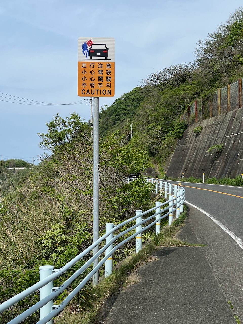
This sign is in several languages.
Then about 30 km short of Matsuyama: disaster. I was on the MUP side, and there were some curbs, and I got a pinch flat. Of course it was on the rear, and this was a serious problem since my gear cable adjustment was really tight, and I only had a leatherman. I needed a second set of pliers.
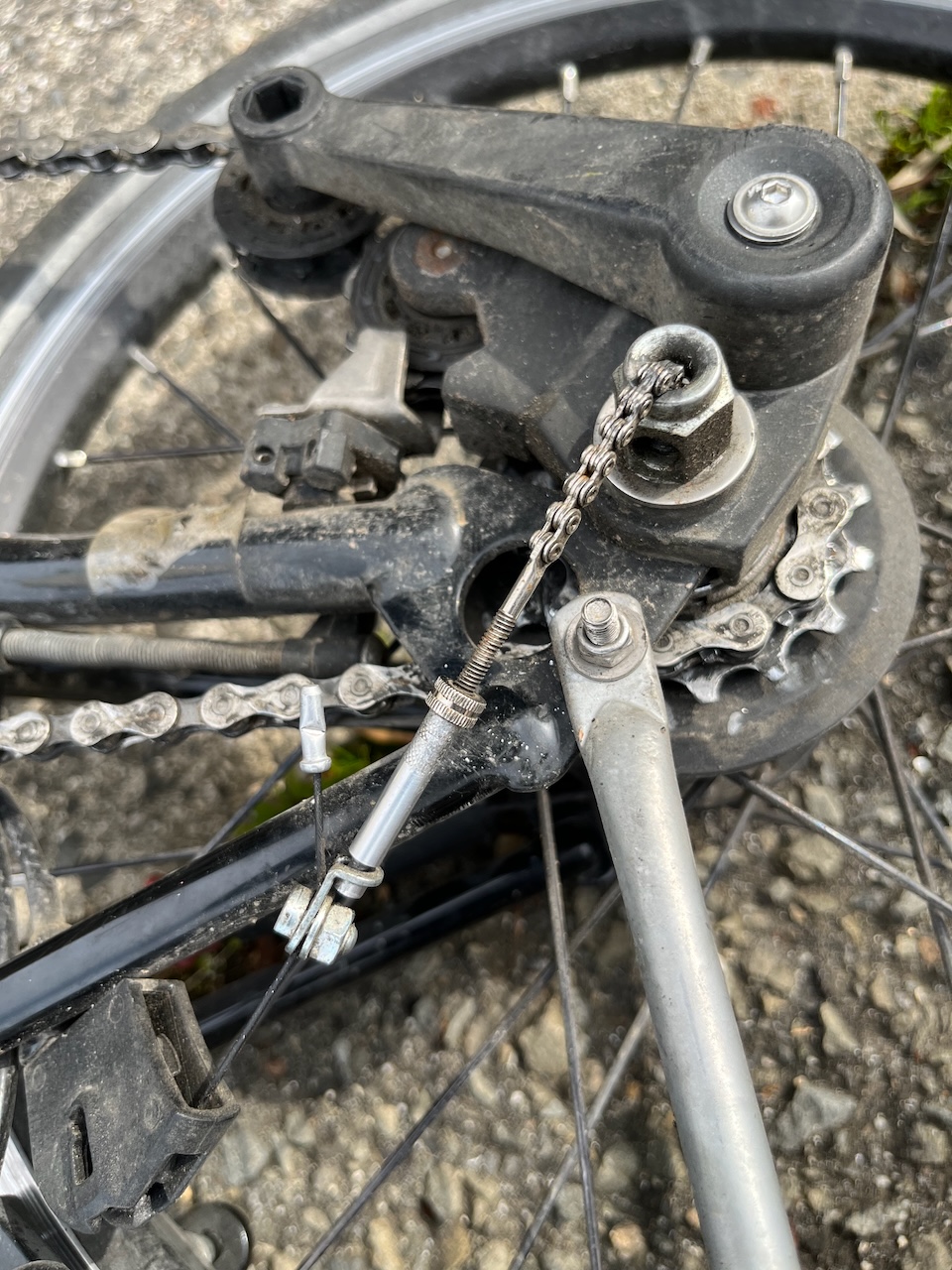
Fortunately, an older gentleman wandered by and asked if I need help. I asked if he had a pair of pliers that I could borrow. I didn’t know the Japanese for pliers, and so there was a fair amount of charades going on. Long story short, he suggested that I wheel my bike down a few doors to his place, and he reappeared with a pair of needlenose with which I was able to fix my flat. Such a godsend!

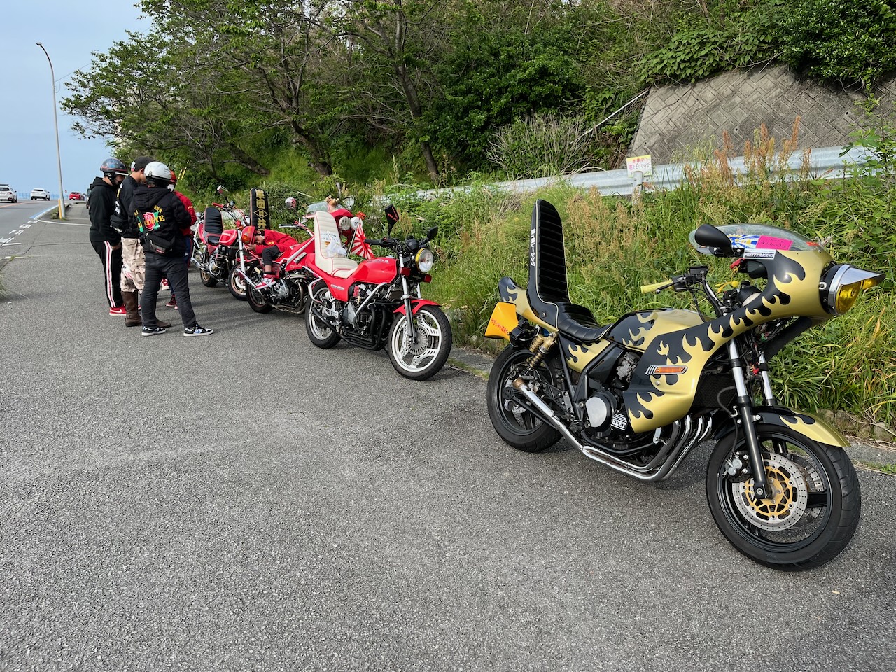
On the road again, caught up with one of the loud bike gangs that terrorized me in the tunnel.
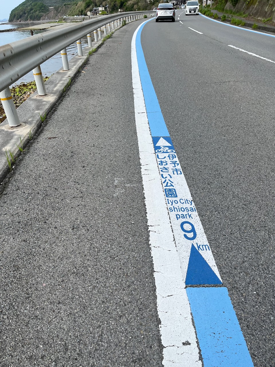
Shikoku does a lot to promote cycling around the island.
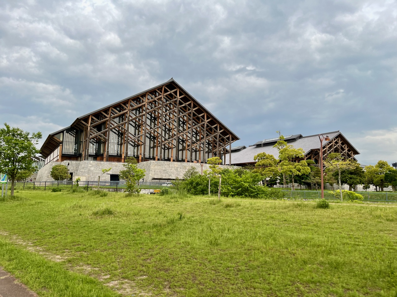
In Matsuyama, these are the most impressive mass timber buildings I have ever seen, right by the Ishite River. It is the Ehime Prefecture Budokan.
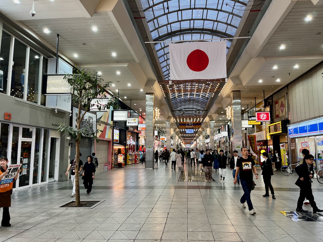
One of several pedestrian shopping streets right by my hotel. Lots of people out late on a Sunday night.
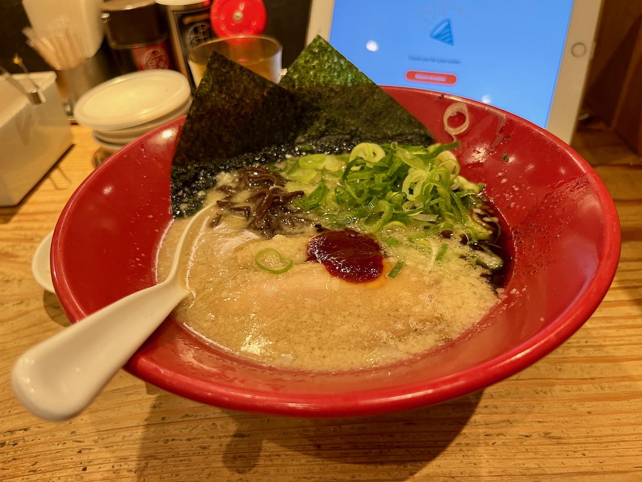
Some overpriced Ippudo ramen for dinner.
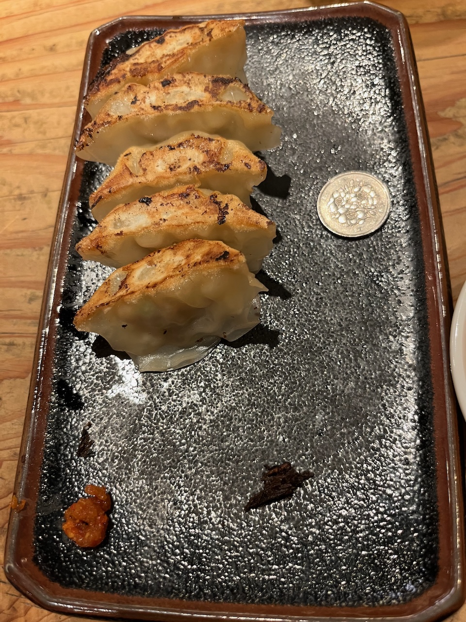
Also, the worlds smallest gyoza, 100 yen piece for scale (about the size of a quarter).
Weather forecast looks evil tomorrow. I’m considering taking the train to Imabari so that I can halve the distance that I will be riding in the rain.
At any rate, my encounters with the bike tour guys, and the gentleman that lent me pliers reminds me that bike touring is more about the journey than the destination.

Leave a comment